Browse / United Kingdom / England / Corsham
Corsham
Englandtown

Corsham
Demographic figures from UK Office for National Statistics. Overview below cites Wikipedia and may reference a different year.
City facts
Sister cities
Facts from Wikidata (CC0).
Overview
Corsham is a historic market town and civil parish in west Wiltshire, England. It is at the southwestern edge of the Cotswolds, just off the A4 national route. It is 28 miles (45 km) southwest of Swindon, 20 miles (32 km) east of Bristol, 8 miles (13 km) north-east of Bath, and 4 miles (6 km) southwest of Chippenham.
Read more on WikipediaHistory & geography
History
Corsham appears to derive its name from Cosa's hām, "ham" being Old English for homestead, or village. The town is referred in the Domesday Book as Cosseham. The letter 'R' appears to have entered the name later under Norman influence (possibly caused by the recording of local pronunciation), when the town is reported to have been in the possession of the Earl of Cornwall. The Lyons family held vast lands in Corsham from the time of the Norman Conquest in 1066 until at least the 16th century. Ingelram de Lyons, a Norman nobleman and companion of William the Conqueror, was granted these estates by William as part of the post-Conquest redistribution of land. Corsham is recorded as Cosham as late as 1611 (on John Speed's map of Wiltshire). During the Saxon era, the Corsham area belonged to the King, and had a large forest, which was later cleared to make way for further agricultural expansion. There is evidence that the town had been known as "Corsham Regis" due to its reputed association with Anglo-Saxon Ethelred of Wessex, and the name remains as that of a primary school. One of the towns that prospered greatly from Wiltshire's wool trade in medieval times, it maintained its prosperity after the decline of the trade through the quarrying of Bath stone, with underground mining works extending to the south and west of Corsham. The main turnpike road (now the A4) from London to Bristol passed through the town. The Grove, opposite the High Street, is a typical example of classic Georgian architecture, as is The Ivy in Priory Street. There are more than 60 listed buildings in the High Street.
Excerpted from the corresponding Wikipedia article (CC BY-SA).
Geography
Coordinates & boundaries from the US Census TIGER/Line shapefiles.
Climate
Air quality
Walkability
Amenities nearby
Wildlife & biodiversity
Earthquake history
Photos
Sights & places nearby
Notable people from here


People born within ~10 km, from Wikidata (CC0). Click any name for their Wikipedia article.
Nearby places in England
Geography & sun
Elevation, sunrise/sunset and daylight from Open-Meteo. Solar climatology from NASA POWER.
Nearby airports
Public attention
Pageview totals from the Wikimedia Pageviews API.
Books about Corsham
Search results from Open Library.
Recent natural events nearby
Ground air-quality sensors
Recently spotted species
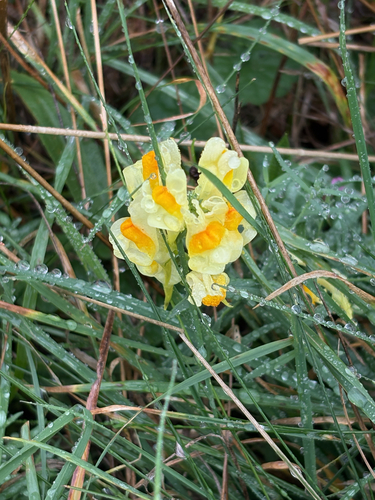
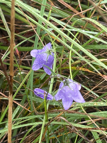
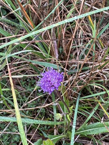
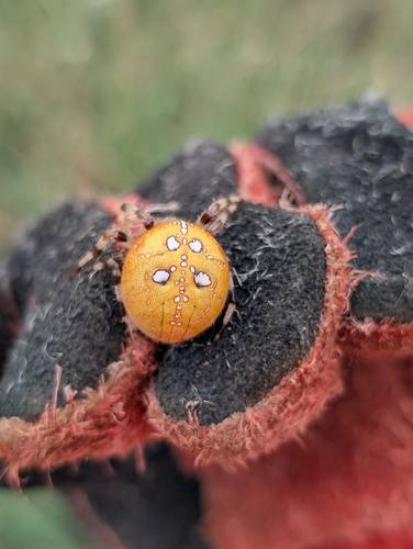
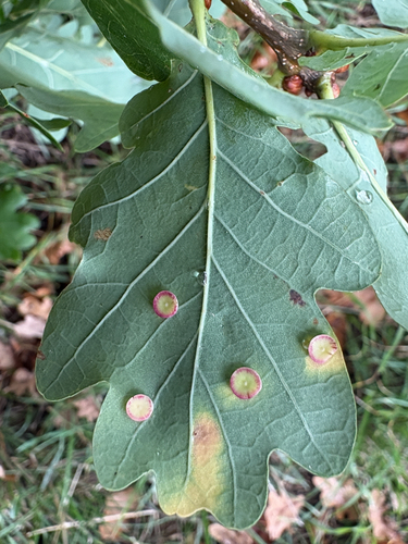
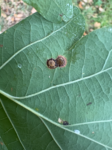
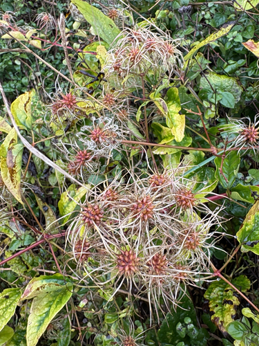
Research-grade observations from iNaturalist (within ~15 mi).
Events
Gallery
Sources
- • Wikipedia
- • Wikidata
- • iNaturalist
- • Open-Meteo / sunrise-sunset.org
- • Wikipedia Pageviews API
- • Open Library