Browse / United Kingdom / England / Cradley Heath
Cradley Heath
Englandtown

Cradley Heath
Demographic figures from UK Office for National Statistics. Overview below cites Wikipedia and may reference a different year.
City facts
Overview
Cradley Heath is a town in the Metropolitan Borough of Sandwell, West Midlands, England. It is in the Black Country, 8 miles (13 km) west of Birmingham. The town was known for the manufacture of chains in the first half of the twentieth century.
Read more on WikipediaHistory & geography
History
The name Cradley has Saxon origins, likely derived from "Crudda's lēah," meaning "Crudda’s clearing" or meadow. The Domesday Book of 1086 records the settlement as "Cradelei" or "Cradelie," then held by Ansculf de Picquigny for the crown. Cradley Heath was originally an area of heathland between Cradley, Netherton, and Old Hill, in the Staffordshire parish of Rowley Regis. The residents of Cradley had grazing rights, subject to an annual payment to the Lord of the manor. This undeveloped heath was historically separated from Cradley itself by the River Stour and the Mousesweet Brook As on other commons in the Black Country, cottages were built encroaching on the heath. These were occupied by nailmakers, amongst other industries. Following the Norman Conquest, the manor passed through various hands, including the Earl of Wiltshire—who was beheaded during the Wars of the Roses—before being purchased by Sir Frank Lyttleton in 1564 and has the distinction of having the first Afro-Caribbean minister in Britain, Rev. George Cosens, in 1837. Cradley Heath and the surrounding area lie on the South Staffordshire coalfield. Ordnance Survey maps surveyed in 1882 show the town to be surrounded by collieries.; the High Street still features a prominent dip, a visible reminder of a major mining subsidence event that occurred in 1914. In October 1844, ten men including the 'butty' plus a boy aged 12 died in a coal mine explosion, two horses working underground were also killed. Several ironstone miners working below the coal seam managed to escape, but a further three working horses could not be rescued. At the inquest it was reported that the mine had been inspected hours earlier, tested for sulphur gas and declared safe. Verdicts of accidental death were given. From the…
Geography
A part of the West Midlands conurbation, Cradley Heath is located in the south of Sandwell Metropolitan Borough, 8 miles west of Birmingham, north-west of Halesowen and south of Dudley. It is situated in a low-lying area of the Black Country, south of the limestone ridge that runs through the area. The River Stour forms the southern boundary with Cradley, and the Mousesweet Brook, a tributary of the Stour, forms part of the boundary between the metropolitan boroughs of Sandwell and Dudley. *Lomey Town *Newtown *Plant's Green *Surfeit Hill *Timbertree
Excerpted from the corresponding Wikipedia article (CC BY-SA).
Geography
Coordinates & boundaries from the US Census TIGER/Line shapefiles.
Climate
Air quality
Walkability
Amenities nearby
Wildlife & biodiversity
Earthquake history
Photos
Sights & places nearby
Notable people from here
Nearby places in England
Geography & sun
Elevation, sunrise/sunset and daylight from Open-Meteo. Solar climatology from NASA POWER.
Nearby airports
Public attention
Pageview totals from the Wikimedia Pageviews API.
Books about Cradley Heath


Search results from Open Library.
Recent natural events nearby
Ground air-quality sensors
Recently spotted species
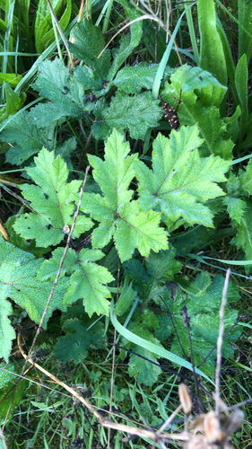
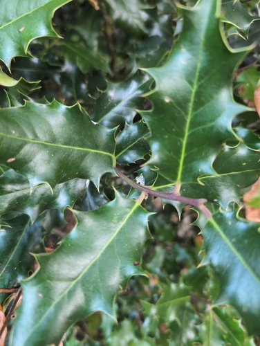
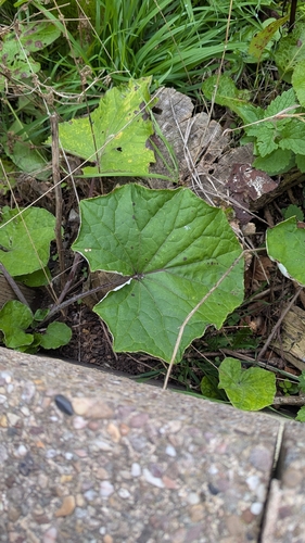
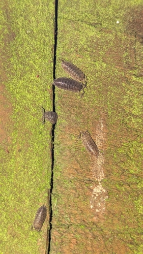
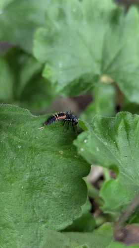
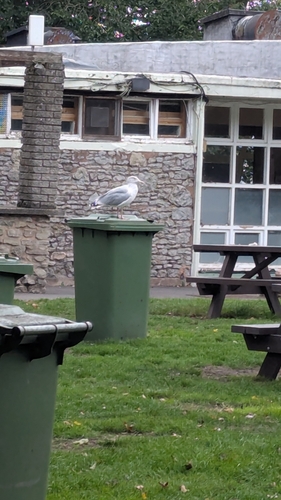
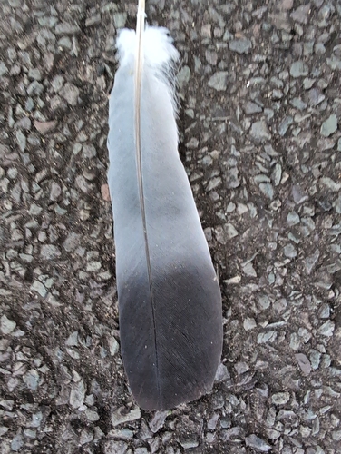
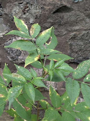
Research-grade observations from iNaturalist (within ~15 mi).
Events
Gallery
Sources
- • Wikipedia
- • iNaturalist
- • Open-Meteo / sunrise-sunset.org
- • Wikipedia Pageviews API
- • Open Library