Browse / United Kingdom / Scotland / Crieff
Crieff
Scotlandtown

Crieff
Total population
7,280
Demographic figures from UK Office for National Statistics. Overview below cites Wikipedia and may reference a different year.
City facts
Facts from Wikidata (CC0).
Overview
Crieff is a Scottish market town in Perth and Kinross on the A85 road between Perth and Crianlarich, and the A822 between Greenloaning and Aberfeldy. The A822 joins the A823 to Dunfermline. It had a population of 7,142 in 2022.
Read more on WikipediaHistory & geography
History
For centuries Highlanders came to Crieff to sell their black cattle, whose meat and hides were sought by the growing urban populations in Lowland Scotland and the north of England. The town acted as a gathering point for the Michaelmas cattle sale held during the "October Tryst" each year, when the surrounding fields and hillsides would be black with some 30,000 cattle, some from as far away as Caithness and the Outer Hebrides. Rob Roy MacGregor and his followers visited Crieff in October 1714: they gathered in Crieff for the October Tryst. They marched to Crieff Town Square and, in front of the gathering crowd, sang Jacobite songs and drank loyal toasts to their uncrowned King James VIII. In 1716, 350 Highlanders returning from the Battle of Sheriffmuir burned most of Crieff to the ground. In 1731, James Drummond, 3rd Duke of Perth, laid out the town's central James Square and established a textile industry with a flax factory. In the 1745 rising, the Highlanders were itching to fire the town again and were reported as saying "she shoud be a braw toun gin she haed anither sing". It was saved by the Duke of Perth, a friend and supporter of Prince Charles. In February 1746, the Jacobite army was quartered in and around the town, with Prince Charles Edward Stuart holding his final war council in the old Drummond Arms Inn in James Square, located behind the present abandoned hotel building in Hill Street. By the late 18th century, the hanging tree used by the Earls of Strathearn to punish criminals had been replaced by a wooden structure in an area called Gallowhaugh, now Gallowhill, at the bottom of Burrell Street. What is now Ford Road was Gallowford Road which led down past the gallows to the crossing point over the River Earn. Sir Walter Scott, visiting Crieff in…
Excerpted from the corresponding Wikipedia article (CC BY-SA).
Geography
Coordinates & boundaries from the US Census TIGER/Line shapefiles.
Climate
Air quality
Walkability
Amenities nearby
Wildlife & biodiversity
Earthquake history
Photos
Sights & places nearby
Notable people from here
Nearby places in Scotland
Geography & sun
Nearby airports
Public attention
Books about this place
Recent natural events nearby
Ground air-quality sensors
Recently spotted species
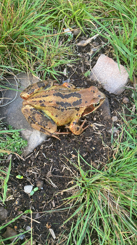
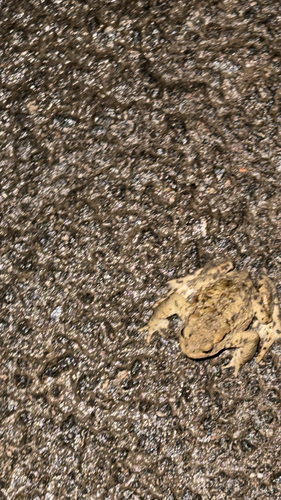
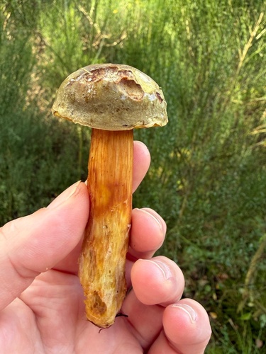
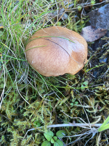
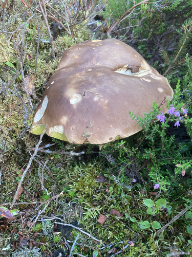
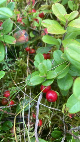
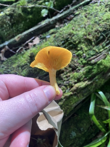
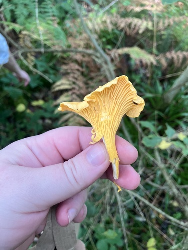
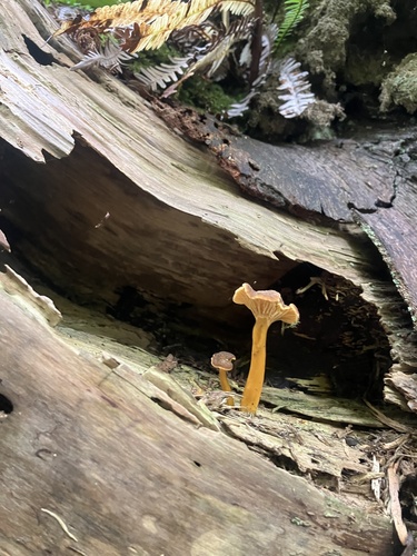
Research-grade observations from iNaturalist (within ~15 mi).
Events
Gallery
Official Identifiers
ONS — UK Office for National Statistics
- ONS code
- osgb4000000074549025
- Local type
- Town
- Region
- Scotland
api.postcodes.io / OS Open Names
Sources
- • Wikipedia
- • Wikidata
- • iNaturalist
- • ONS / OS Open Names — UK official place gazetteer, via api.postcodes.io (OS code, local type, county/unitary, district/borough, region)
- • ONS — UK Office for National Statistics — api.postcodes.io / OS Open Names