Browse / United Kingdom / England / Crook
Crook
Englandtown

Crook
Demographic figures from UK Office for National Statistics. Overview below cites Wikipedia and may reference a different year.
City facts
Overview
Crook is a market town in the Durham County Council unitary authority and ceremonial county of County Durham, England. It is located on the edge of Weardale and sometimes referred to as the "Gateway to Weardale".
Read more on WikipediaHistory & geography
History
Crook first appeared as an agricultural village around 1795 although its surrounding districts; Billy Row, Stanley, White Lea and Helmington Row, were established much earlier. In these days Crook was predominantly farmland; however, it also had an Inn and a blacksmith shop, consequently the primary field of employment was within the agricultural industry. 40 years later; Crook became a mining village, and thrived as the coal was very close to the surface and soon there were over 20 mines around the Crook area. By the end of the nineteenth century the town had developed rapidly, in population and economy. However, the local population declined in the following century, as the coal mines and industries closed. With at one point over 34% of the population being unemployed. Crook's football team, Crook Town F.C., have won the FA Amateur Cup five times, most recently beating Enfield F.C. in 1964, before the cup was abolished in 1974. This record is second only to Crook's near neighbours, Bishop Auckland F.C. The club have also reached the third round of the FA Cup and formed a key role in the development of FC Barcelona, playing a number of friendly matches in the 1910s and 1920s.
Excerpted from the corresponding Wikipedia article (CC BY-SA).
Geography
Coordinates & boundaries from the US Census TIGER/Line shapefiles.
Climate
Air quality
Walkability
Amenities nearby
Wildlife & biodiversity
Earthquake history
Photos
Sights & places nearby
Notable people from here
Geography & sun
Elevation, sunrise/sunset and daylight from Open-Meteo. Solar climatology from NASA POWER.
Nearby airports
Public attention
Pageview totals from the Wikimedia Pageviews API.
Books about Crook




Search results from Open Library.
Recent natural events nearby
Ground air-quality sensors
Recently spotted species
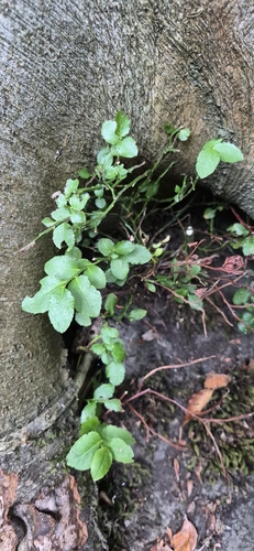
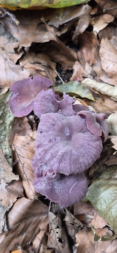
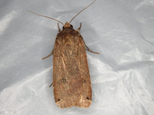
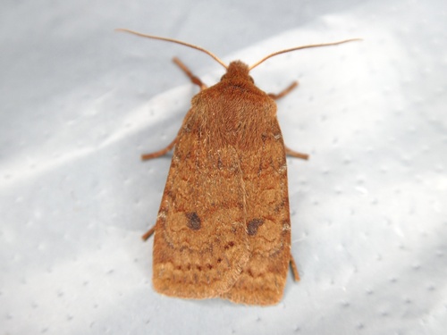
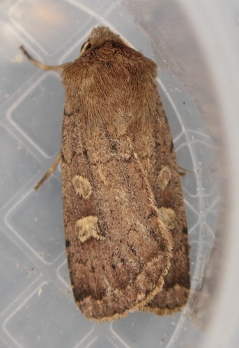
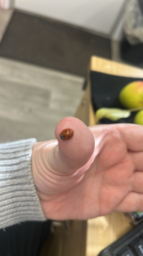
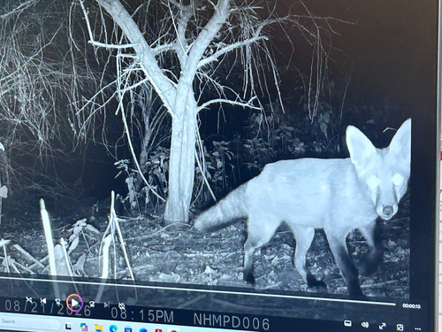
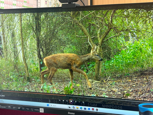
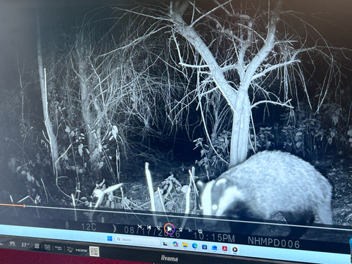
Research-grade observations from iNaturalist (within ~15 mi).
Events
Gallery
Official Identifiers
ONS — UK Office for National Statistics
- ONS code
- E04002598
- Population (Wikidata)
- 340
- Wikidata
- Q2454130
api.postcodes.io / OS Open Names
Sources
- • Wikipedia
- • iNaturalist
- • Open-Meteo / sunrise-sunset.org
- • Wikipedia Pageviews API
- • Open Library
- • ONS / OS Open Names — UK official place gazetteer, via api.postcodes.io (OS code, local type, county/unitary, district/borough, region)
- • ONS — UK Office for National Statistics — api.postcodes.io / OS Open Names