Browse / United Kingdom / Scotland / Cumbernauld
Cumbernauld
Scotlandtown

Cumbernauld
Total population
52,270
Air quality index
Demographic figures from UK Office for National Statistics. Overview below cites Wikipedia and may reference a different year.
City facts
Sister cities
Facts from Wikidata (CC0).
Overview
Cumbernauld is a town in North Lanarkshire, Scotland. It lies within the historic county of Dunbartonshire. It is the tenth most-populous locality in Scotland and the most populated town in North Lanarkshire, positioned in the centre of Scotland's Central Belt. Geographically, Cumbernauld sits between east and west, being on the Scottish watershed between the Forth and the Clyde; however, it is culturally more weighted towards Glasgow and the New Town's planners aimed to fill 80% of its houses from Scotland's largest city to reduce housing pressure there.
Read more on WikipediaHistory & geography
History
Cumbernauld's history stretches at least to Roman times, as Westerwood was a Roman fort on the Antonine Wall, the furthest and most northerly boundary of the Roman Empire. Two Roman temporary camps have been discovered and digitally reconstructed east of the fort, at Tollpark (now covered by Wardpark North) and at Garnhall, similar to the two at Dullatur. One of the most discussed Roman finds from Cumbernauld is a sandstone slab depicting Triton and a naked, kneeling captive. It was found on a farm at Arniebog (between the runway of Cumbernauld Airport and Westerwood Golf Course). The slab can now be viewed at the Hunterian Museum in Glasgow along with an uninscribed altar from Arniebog and other artefacts like the inscribed altar, and statuette found at Castlecary and an older copy of the Bridgeness Slab. In addition to these, an altarstone to Silvanus and the Sky dedicated by a centurion named Verecundus and his wife has been found. Cumbernauld also has the only Roman altar still in the open air in Scotland: the Carrick Stone. The stone has also been linked with Robert Bruce, being the place where he reportedly set up his standard on his way to Bannockburn. There is some evidence that coffins were laid on top of the stone on their way to the cemetery in Kirkintilloch and that the stone has been somewhat worn away. There is a record of the charter of the lands of Lenzie and Cumbernauld, granted to William Comyn by Alexander II in 1216. The Flemings took possession of Cumbernauld Castle and its estate (1306) after Robert the Bruce murdered the Red Comyn. Robert Fleming was a staunch supporter of Bruce, and one of his companions that day. To provide proof that Comyn was dead, Fleming cut off his head in order to "let the deed shaw", a Fleming family motto ever since.…
Excerpted from the corresponding Wikipedia article (CC BY-SA).
Geography
Coordinates & boundaries from the US Census TIGER/Line shapefiles.
Climate
Air quality
Current readings from Open-Meteo Air Quality API (Copernicus CAMS European reanalysis).
Walkability
Amenities nearby
Wildlife & biodiversity
Most-observed species
- Eurasian MagpiePica pica (Linnaeus, 1758) · Aves6,159
- Common Wood-PigeonColumba palumbus Linnaeus, 1758 · Aves6,032
- Carrion CrowCorvus corone Linnaeus, 1758 · Aves5,108
- European RobinErithacus rubecula (Linnaeus, 1758) · Aves4,293
- Eurasian BlackbirdTurdus merula Linnaeus, 1758 · Aves4,237
- Eurasian Blue TitCyanistes caeruleus (Linnaeus, 1758) · Aves3,772
- Lesser Black-backed GullLarus fuscus Linnaeus, 1758 · Aves3,653
- MallardAnas platyrhynchos Linnaeus, 1758 · Aves3,497
Citizen-science & research observations from the Global Biodiversity Information Facility (GBIF).
Earthquake history
Most recent
- M 3.5 — 2026-04-1642 km WNW of Comrie, United Kingdom
- M 3.9 — 2025-10-2029 km NW of Comrie, United Kingdom
- M 2.5 — 2018-08-301 km ENE of Gourock, United Kingdom
- M 2.6 — 2017-11-012 km NNW of Tarbert, United Kingdom
- M 3.6 — 2006-12-262 km NW of Dumfries, United Kingdom
- M 2.5 — 2005-12-313 km WSW of Auchterarder, United Kingdom
Events from the USGS Earthquake Catalog (global) (FDSN Event Web Service).
Photos
Sights & places nearby
Notable people from here


People born within ~10 km, from Wikidata (CC0). Click any name for their Wikipedia article.
Nearby places in Scotland
Geography & sun
Elevation, sunrise/sunset and daylight from Open-Meteo. Solar climatology from NASA POWER.
Nearby airports
Public attention
Pageview totals from the Wikimedia Pageviews API.
Books about Cumbernauld

Search results from Open Library.
Recent natural events nearby
Ground air-quality sensors
Recently spotted species
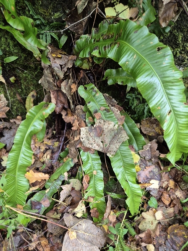
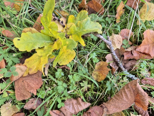
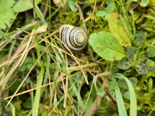
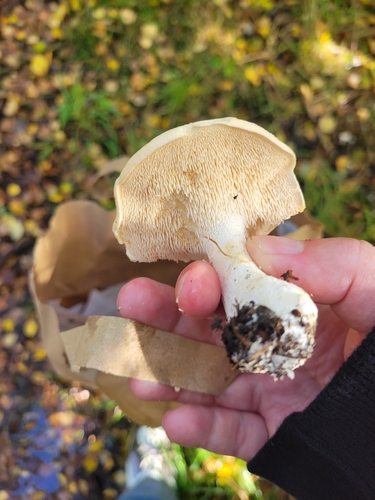
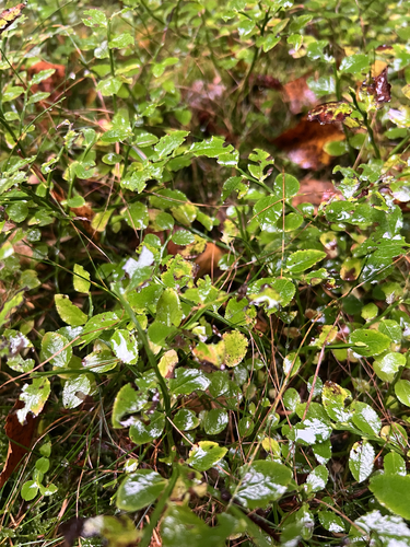
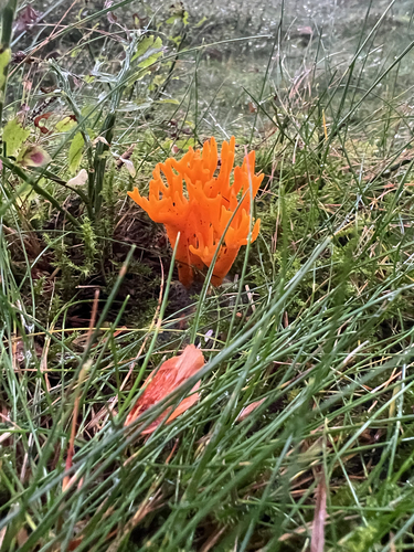
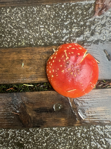
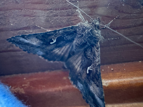
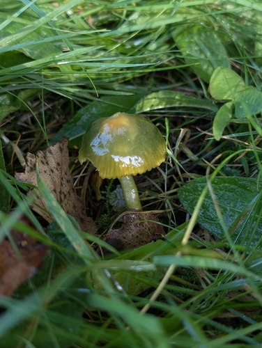
Research-grade observations from iNaturalist (within ~15 mi).
Events
Gallery
Official Identifiers
ONS — UK Office for National Statistics
- ONS code
- osgb4000000074559822
- Local type
- Town
- Region
- Scotland
api.postcodes.io / OS Open Names
Sources
- • Wikipedia
- • Wikidata
- • Open-Meteo Air Quality (CAMS)
- • USGS Earthquake Catalog (global feed)
- • GBIF (Global Biodiversity Information Facility)
- • iNaturalist
- • Open-Meteo / sunrise-sunset.org
- • Wikipedia Pageviews API
- • Open Library
- • Wikidata SPARQL (CC0) — population, area, elevation, inception, head of government, Commons image
- • ONS / OS Open Names — UK official place gazetteer, via api.postcodes.io (OS code, local type, county/unitary, district/borough, region)
- • ONS — UK Office for National Statistics — api.postcodes.io / OS Open Names