Browse / United Kingdom / Scotland / Denholm
Denholm
Scotlandvillage

Denholm
Total population
670
Demographic figures from UK Office for National Statistics. Overview below cites Wikipedia and may reference a different year.
City facts
Overview
Denholm is a small village located between Jedburgh and Hawick in the Scottish Borders. There is a village green in the centre. It lies in the valley of the River Teviot. Denholm is a Conservation Area listed as "a planned village as opposed to the traditional unplanned or organic form of village usually found in Roxburghshire".
Read more on WikipediaHistory & geography
History
The village is built around the Green, which in days gone by was let for grazing to the butchers or smallholders. In the middle of the Green stands Leyden's Monument, which was erected in 1861 in honour of Dr John Leyden (1775–1811), poet, antiquarian and orientalist, who was born in Denholm. The monument was designed by the architect Hector H. Orrock, and sculpted by Alexander Handyside Ritchie. The Green has always been at the heart of village life. Weekly and half-weekly fairs used to be held here. Part of the base of an old mercat cross can still be seen inside the railings surrounding the monument. The cross itself was removed and the base hollowed out sometime in the 19th century to make a water trough for cattle. Westgate Hall built in 1663 stands at the western approaches to the village. In Main Street, stands The Text House, a category B listed building, erected about 1910 by John Haddon (1845–1924), a medical doctor and author of published works on public sanitation and dietetics. The 3-storey house is in the arts and craft style. One of the texts on the front elevation is a reminder to take care with time before it passes, "TAK TENT IN TIME ~ ERE TIME BE TINT", the other text reminds the occupier that there were and will be others living in the house, "ALL WAS OTHERS ~ ALL WILL BE OTHERS". Council pre-fabs were put up in the Ashloaning at the end of the war followed by the "Crudens semis" and the "Orlits". During the 1950s, six more semi-detached houses were built in The Loaning and ten in Murray Place. All through the 1950s the public water supply was inadequate for the post-war village, but in 1963 a proper supply was finally piped in from Alemoor Loch above Roberton. The way was now open for more housing development. Like most villages, Denholm is…
Excerpted from the corresponding Wikipedia article (CC BY-SA).
Geography
Coordinates & boundaries from the US Census TIGER/Line shapefiles.
Climate
Air quality
Walkability
Amenities nearby
Wildlife & biodiversity
Earthquake history
Photos
Sights & places nearby
Notable people from here


People born within ~10 km, from Wikidata (CC0). Click any name for their Wikipedia article.
Geography & sun
Nearby airports
Public attention
Books about this place
Recent natural events nearby
Ground air-quality sensors
Recently spotted species
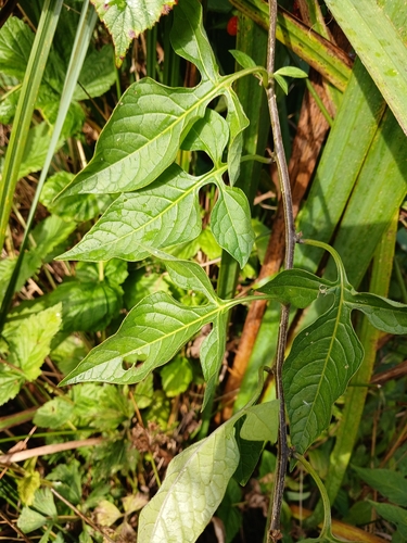
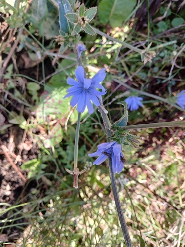
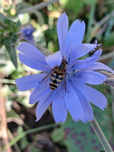
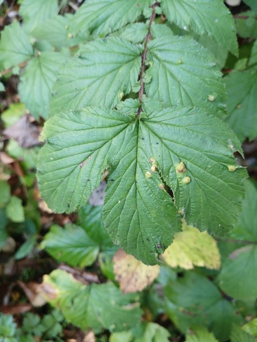
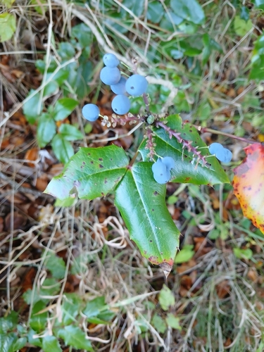
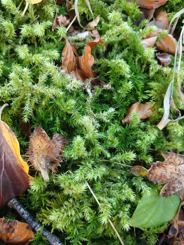
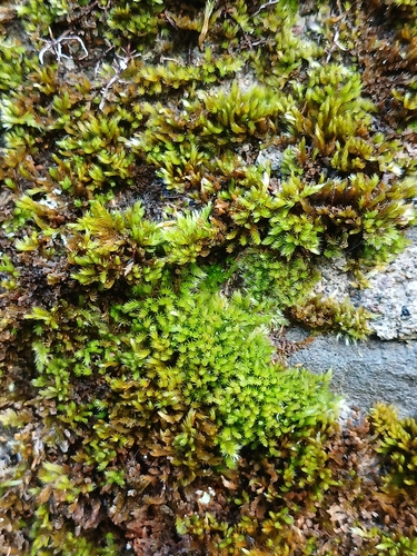
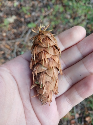
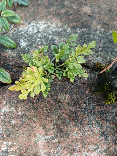
Research-grade observations from iNaturalist (within ~15 mi).
Events
Gallery
Official Identifiers
ONS — UK Office for National Statistics
- ONS code
- osgb4000000074557167
- Local type
- Village
- Region
- Scotland
api.postcodes.io / OS Open Names
Sources
- • Wikipedia
- • Wikidata
- • iNaturalist
- • ONS / OS Open Names — UK official place gazetteer, via api.postcodes.io (OS code, local type, county/unitary, district/borough, region)
- • ONS — UK Office for National Statistics — api.postcodes.io / OS Open Names