Browse / United Kingdom / England / Devizes
Devizes
Englandtown

Devizes
Demographic figures from UK Office for National Statistics. Overview below cites Wikipedia and may reference a different year.
City facts
Sister cities
Facts from Wikidata (CC0).
Overview
Devizes is a market town and civil parish in Wiltshire, England. It developed around Devizes Castle, an 11th-century Norman castle, and received a charter in 1141. The castle was besieged during the Anarchy, a 12th-century civil war between Stephen of England and Empress Matilda, and again during the English Civil War when the Cavaliers lifted the siege at the Battle of Roundway Down and the Parliamentarian Army of the West under Sir William Waller was routed. Devizes remained under Royalist control until 1645, when Oliver Cromwell attacked and forced the Royalists to surrender. The castle was destroyed in 1648 on the orders of Parliament, and today little remains of it.
Read more on WikipediaHistory & geography
History
Devizes Castle was built by Osmund, Bishop of Salisbury, in 1080, but the town is not mentioned in Domesday Book of 1086. Because the castle was on the boundaries of the manors of Rowde, Bishops Cannings and Potterne it became known as the castrum ad divisas ("the castle at the boundaries"), hence the name Devizes. On John Speed's map of Wiltshire (1611), the town's name is recorded as The Devyses. A new castle was built in stone by Roger of Salisbury, Osmund's successor. Devizes received its first charter in 1141, permitting regular markets. The castle changed hands several times during the Anarchy, a civil war between Stephen of Blois and Matilda in the 12th century. The castle held important prisoners, including (from 1106) Robert Curthose, eldest son of William the Conqueror. The town has had churches since the 12th century and today has four Church of England parish churches. During the 12th and 13th centuries, the town of Devizes developed outside the castle with craftsmen and traders setting up businesses to serve the residents of the castle. The first known market in Devizes was in 1228. The original market was in the large space outside St Mary's Church, rather than in the current Market Place, which at that time would have been within the castle's outer bailey. In 1643, during the English Civil War, Parliamentary forces under Sir William Waller besieged Royalist forces under Sir Ralph Hopton in Devizes. The siege was lifted by a relief force from Oxford under Henry Wilmot, 1st Earl of Rochester, and Waller's forces were almost totally destroyed at the Battle of Roundway Down. Devizes remained under Royalist control until 1645, when Oliver Cromwell attacked and forced the Royalists to surrender. The castle was destroyed in 1648 on the orders of Parliament,…
Excerpted from the corresponding Wikipedia article (CC BY-SA).
Geography
Coordinates & boundaries from the US Census TIGER/Line shapefiles.
Climate
Air quality
Walkability
Amenities nearby
Wildlife & biodiversity
Earthquake history
Photos
Sights & places nearby
Notable people from here


People born within ~10 km, from Wikidata (CC0). Click any name for their Wikipedia article.
Nearby places in England
Geography & sun
Elevation, sunrise/sunset and daylight from Open-Meteo. Solar climatology from NASA POWER.
Nearby airports
Public attention
Pageview totals from the Wikimedia Pageviews API.
Books about Devizes

![[Report 1947-1948]](https://covers.openlibrary.org/b/id/13395277-M.jpg)
![[Report 1938]](https://covers.openlibrary.org/b/id/11793175-M.jpg)
![[Report 1964]](https://covers.openlibrary.org/b/id/11792264-M.jpg)
![[Report 1950]](https://covers.openlibrary.org/b/id/11792508-M.jpg)
![[Report 1966]](https://covers.openlibrary.org/b/id/11792195-M.jpg)
![[Report 1951]](https://covers.openlibrary.org/b/id/11792943-M.jpg)
Search results from Open Library.
Recent natural events nearby
Ground air-quality sensors
Recently spotted species
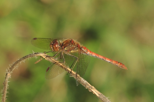
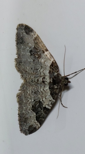

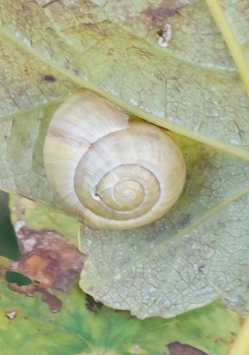
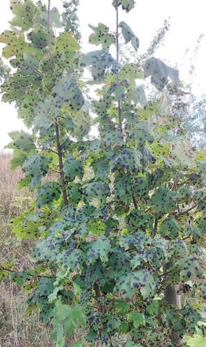
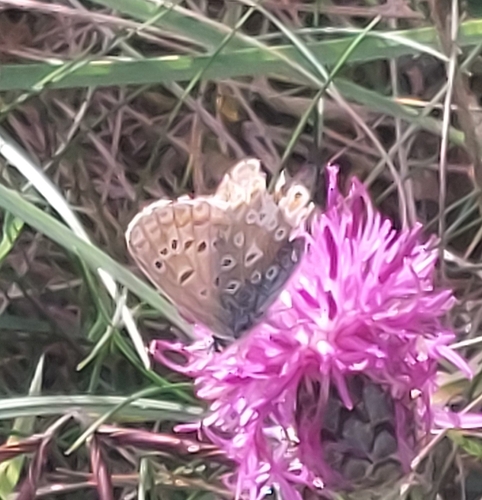

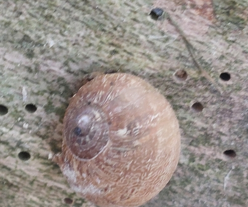
Research-grade observations from iNaturalist (within ~15 mi).
Events
Gallery
Official Identifiers
ONS — UK Office for National Statistics
- ONS code
- osgb4000000074569406
- Local type
- Town
- Region
- South West
api.postcodes.io / OS Open Names
Sources
- • Wikipedia
- • Wikidata
- • iNaturalist
- • Open-Meteo / sunrise-sunset.org
- • Wikipedia Pageviews API
- • Open Library
- • ONS / OS Open Names — UK official place gazetteer, via api.postcodes.io (OS code, local type, county/unitary, district/borough, region)
- • ONS — UK Office for National Statistics — api.postcodes.io / OS Open Names