Browse / United Kingdom / Wales / Dinas Powys
Dinas Powys
Walestown

Dinas Powys
Demographic figures from UK Office for National Statistics. Overview below cites Wikipedia and may reference a different year.
City facts
Facts from Wikidata (CC0).
Overview
Dinas Powys is a town and community in the Vale of Glamorgan, South Wales. It lies 5.6 miles (9.0 km) south-west of the centre of Cardiff, making it a popular dormitory village for city commuters; it neighbours the larger town of Penarth.
Read more on WikipediaHistory & geography
History
The Dinas Powys area has been populated since prehistoric times. The most ancient artefact found in the area is a Neolithic Stone Age axe-head, discovered by P.W. Brooks in 1949 and now displayed in the National Museum Cardiff. The hillfort was, in its time, considered to have great status and wealth. In the age of Celtic Christianity, residents of Dinas Powys had use of day-to-day objects from Bordeaux, Athens and Alexandria. The village has substantial remains of an early medieval castle, and the adjacent Cwm George was the site of the Celtic hillfort from which the village takes its name. The hillfort site was excavated by Leslie Alcock of University College, Cardiff between 1953 and 1958 and was found to contain evidence of major wooden structures and a large quantity of high-status metalwork and jewellery. There were also glass items and imported pottery dating from the sub-Roman period of between the 5th and 7th centuries. Alcock dated the defence structures at Dinas Powys as from the Norman period, but later archaeologists and scholars have dated them to the early medieval period. but the structure went into decline around 1322 when the de Sumeri male family line came to an end. In the 11th century, Dinas Powys was under the control of Sir Reginald de Sully, one of the Twelve Knights of Glamorgan. In 1591, Sir Edward Mansel of Margam wrote his historical document The Winning of Glamorgan and said: : To Sir Reginald de Sully he (Sir Robert Fitz Haymon) gave the castle and town to be called Sully with the Manor of it, and the Manors of St Andrews and Dinas Powys for his Granary and provisions. This Sir Reginald bestowed much land in fee frankliege to his men and came to be a man of wealth and fame. He had at Sully besides his Castle a fair Manor house built…
Geography
Dinas Powys is spread across the full width of a wooded valley, with the Cadoxton River running in the valley. The surrounding soils are mostly a strong, brown, dry earth, useful for arable farming; the growing of various grains contributed to the area being a mostly farming community until the modern era. The substratum under the whole area is a limestone that was likely laid down under a warm ocean in the distant past. The village has not been able to spread northwards because of golf courses and protected woodlands between Dinas Powys and Michaelston-le-Pit; the freeholders of Cwrt-yr-Ala Estate prevented the two from merging. More recent housing development has taken place in a linear fashion either side of the main Cardiff road and in the direction of Cadoxton and Barry. Cwm George and Cwrt-yr-Ala are woodlands in the area. Maps over the last hundred years show that Penarth and Dinas Powys have spread and grown closer together. In many places, the two communities are only separated by a few hundred yards and a couple of fields; however, no direct road connections have been added, entailing a car journey of several miles via Llandough. The only existing direct road is the medieval, winding single-track Cross Common Road. Another traditional lane crossing, which existed between the current site of the Tesco Express mini-supermarket and the Erw Delyn school at Redlands Heights, Penarth, was closed to through traffic following extensions to the Murch estate in the 1970s. According to the Environment Agency, in the floods of October 1998, six properties at Dinas Powys were affected. This was caused by the floodwater overtopping the banks of the Cadoxton River (among others), restrictions to flow in channels and surcharging of drains.
Excerpted from the corresponding Wikipedia article (CC BY-SA).
Geography
Coordinates & boundaries from the US Census TIGER/Line shapefiles.
Climate
Air quality
Walkability
Amenities nearby
Wildlife & biodiversity
Earthquake history
Photos
Sights & places nearby
Notable people from here


People born within ~10 km, from Wikidata (CC0). Click any name for their Wikipedia article.
Nearby places in Wales
- Llandough1.3 mi away
- Llandough10.1 mi away
- Pontypridd12.8 mi away · pop. 30,457
- Nash13.9 mi away
- Porth14.9 mi away · pop. 14,648
- Llanwern16.7 mi away
- Llanfrechfa17.1 mi away · pop. 120
- Southerndown17.2 mi away · pop. 280
- Redwick17.7 mi away · pop. 206
- Llanmartin18.5 mi away
- Llanbeder18.6 mi away
- Tredunnock20.1 mi away
Geography & sun
Elevation, sunrise/sunset and daylight from Open-Meteo. Solar climatology from NASA POWER.
Nearby airports
Public attention
Pageview totals from the Wikimedia Pageviews API.
Books about Dinas Powys

Search results from Open Library.
Recent natural events nearby
Ground air-quality sensors
Recently spotted species
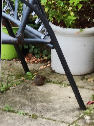

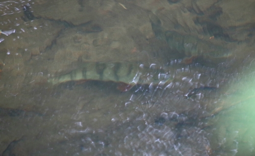
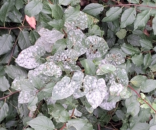
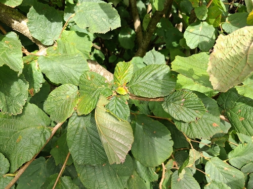
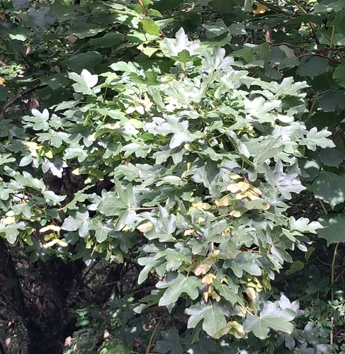
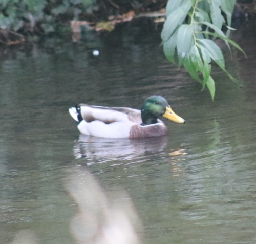
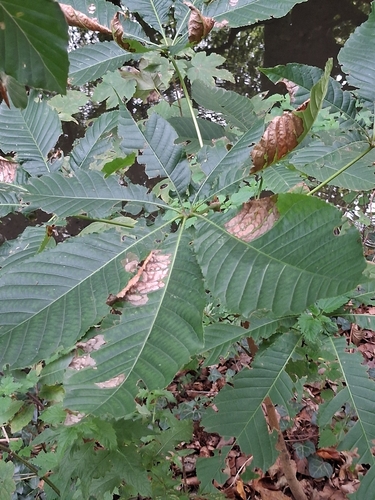
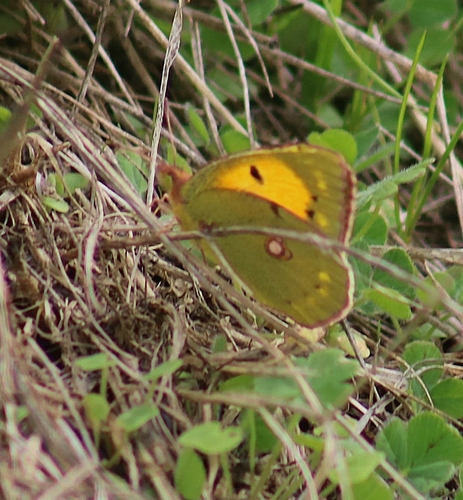
Research-grade observations from iNaturalist (within ~15 mi).
Events
Gallery
Sources
- • Wikipedia
- • Wikidata
- • iNaturalist
- • Open-Meteo / sunrise-sunset.org
- • Wikipedia Pageviews API
- • Open Library