Browse / United Kingdom / Scotland / Dingwall
Dingwall
Scotlandtown

Dingwall
Total population
5,350
Demographic figures from UK Office for National Statistics. Overview below cites Wikipedia and may reference a different year.
City facts
Facts from Wikidata (CC0).
Overview
Dingwall is a town on the Cromarty Firth in Easter Ross in the Highlands of Scotland. It has enjoyed the status of royal burgh since the 13th century, and its local government is the Highland Council. The town has a population of 5,491, and though today it lies inland, its topography used to be that of an east-coast harbour. At one time, it was a significant medieval port, a hub of foreign trading and customs collection. Dingwall’s medieval history affirms its status as an important country town and administrative centre, an extension perhaps of its history as a Viking settlement as evidenced by the Norse origin (Þingvöllr) of its name.
Read more on WikipediaHistory & geography
History
Its name, derived from the Scandinavian (field or meeting-place of the thing, or local assembly; compare Tynwald, Tingwall, Thingwall in the British Isles alone, plus many others across northern Europe), preserves the Viking connections of the town; Gaels call it (), meaning "the mouth of the Peffery" or meaning "cabbage town". The site of the , and of the medieval Moothill, thought to have been established by the Vikings after they invaded in the 8th century, lies beneath the Cromartie memorial. In the early Middle Ages Dingwall Castle, which was established in the 11th century, was reputed to have been the largest castle north of Stirling. King Alexander II created Dingwall a royal burgh in 1226, the burgh becoming the seat of the Earls of Ross. James IV renewed its royal burgh charter in 1497. On the top of Knockfarrel (), a hill about to the west, stands a large and very complete vitrified fort with ramparts. An obelisk, high, was erected over the grave of George Mackenzie, 1st Earl of Cromartie, near the parish church of St Clement after he died in 1717. It was affected by subsidence, becoming known as the "Leaning Tower", and was later replaced by a much smaller replica. Dingwall Town Hall, which dates back to 1745, still survives. On 6 August 1904 a large memorial to the Seaforth Highlanders killed in the Boer War was unveiled in Dingwall. It is a high Ionic cross in pale pink granite. Dingwall formerly served as the county town of Ross and Cromarty: the headquarters of Ross and Cromarty County Council, established in 1889, was County Buildings in Dingwall. James Gillanders of Highfield Cottage near Dingwall, was the factor for the estate of Major Charles Robertson of Kincardine and, as his employer was then serving with the British Army in…
Excerpted from the corresponding Wikipedia article (CC BY-SA).
Geography
Coordinates & boundaries from the US Census TIGER/Line shapefiles.
Climate
Air quality
Walkability
Amenities nearby
Wildlife & biodiversity
Most-observed species
- Herring GullLarus argentatus Pontoppidan, 1763 · Aves2,399
- Carrion CrowCorvus corone Linnaeus, 1758 · Aves2,213
- Common Wood-PigeonColumba palumbus Linnaeus, 1758 · Aves2,110
- Eurasian OystercatcherHaematopus ostralegus Linnaeus, 1758 · Aves1,740
- MallardAnas platyrhynchos Linnaeus, 1758 · Aves1,669
- Eurasian BlackbirdTurdus merula Linnaeus, 1758 · Aves1,604
- House SparrowPasser domesticus (Linnaeus, 1758) · Aves1,576
- Mew GullLarus canus Linnaeus, 1758 · Aves1,543
Citizen-science & research observations from the Global Biodiversity Information Facility (GBIF).
Earthquake history
Most recent
- M 2.9 — 2006-06-0835 km ENE of Portree, United Kingdom
- M 3 — 2005-12-107 km WNW of Fort William, United Kingdom
Events from the USGS Earthquake Catalog (global) (FDSN Event Web Service).
Photos
Sights & places nearby
Notable people from here
Nearby places in Scotland
Geography & sun
Elevation, sunrise/sunset and daylight from Open-Meteo. Solar climatology from NASA POWER.
Nearby airports
Public attention
Pageview totals from the Wikimedia Pageviews API.
Books about Dingwall
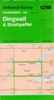
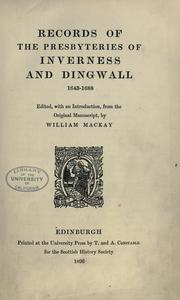
Search results from Open Library.
Recent natural events nearby
Ground air-quality sensors
Recently spotted species
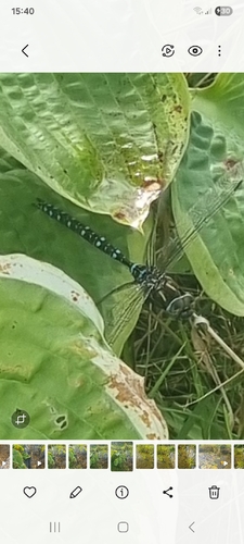
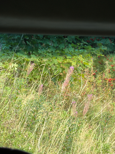
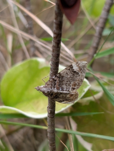
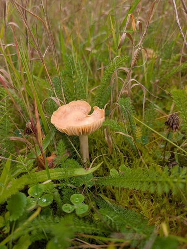
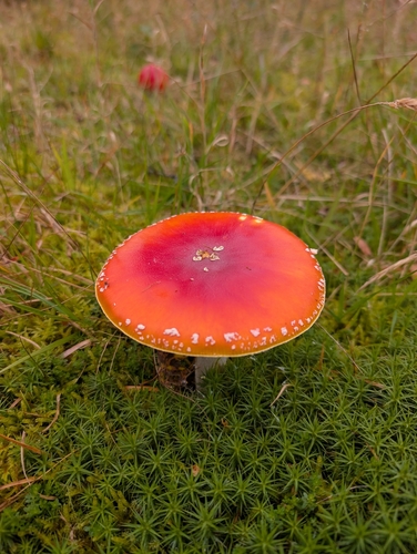
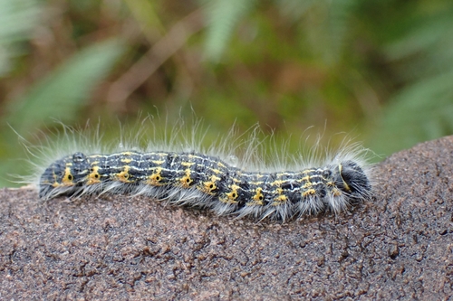
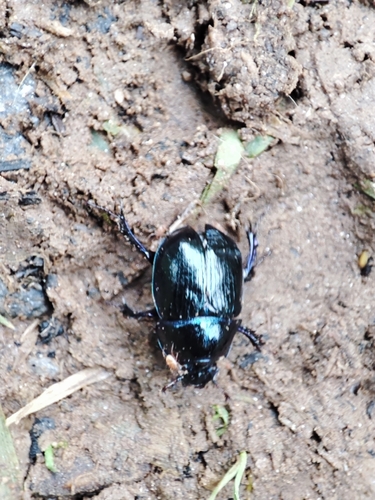
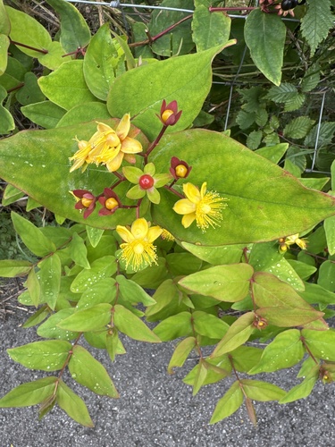
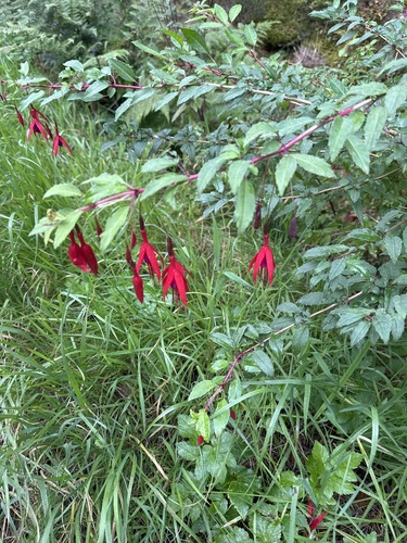
Research-grade observations from iNaturalist (within ~15 mi).
Events
Gallery
Official Identifiers
ONS — UK Office for National Statistics
- ONS code
- osgb4000000074343862
- Local type
- Town
- Region
- Scotland
api.postcodes.io / OS Open Names
Sources
- • Wikipedia
- • Wikidata
- • USGS Earthquake Catalog (global feed)
- • GBIF (Global Biodiversity Information Facility)
- • iNaturalist
- • Open-Meteo / sunrise-sunset.org
- • Wikipedia Pageviews API
- • Open Library
- • ONS / OS Open Names — UK official place gazetteer, via api.postcodes.io (OS code, local type, county/unitary, district/borough, region)
- • ONS — UK Office for National Statistics — api.postcodes.io / OS Open Names