Browse / United Kingdom / England / Dodworth
Dodworth
Englandvillage

Dodworth
Total population
5,742
Demographic figures from UK Office for National Statistics. Overview below cites Wikipedia and may reference a different year.
City facts
Overview
Dodworth is a village in the metropolitan borough of Barnsley in South Yorkshire, England. Historically part of the West Riding of Yorkshire, it has a population of 5,742, increasing to 5,900 at the 2011 Census.
Read more on WikipediaHistory & geography
History
The name Dodworth derives from an Old English personal name, such as Dod or Dodda, and worð meaning 'enclosure'. Dodworth was historically a township in the ancient parish of Silkstone, in the Wapentake of Staincross, in the West Riding of Yorkshire. It became a separate civil parish in 1866, and an urban district in 1894. The urban district and civil parish were abolished in 1974, when Dodworth was transferred to the Metropolitan Borough of Barnsley in the new county of South Yorkshire. Dodworth is now an unparished area. Dodworth is a former coal mining village with approximately 5,800 people. The land occupying the former pit is now the Dodworth Business Park. The "muck" stack from the pit is clearly visible throughout the village. The spoil heaps are now covered with grass, scrub and birch trees. Over the past twenty years, trees and wildlife have flourished. Now the whole of the east, south and west side are covered with trees. The north side is occupied by farmland and the former 'muck stack' is completely invisible apart from the rise. The crossroads between High Street, Station Road and Barnsley Road lead to Barnsley and Manchester. Dodworth's High Street acted as part of a historical trade route for salt brought from Cheshire to Barnsley, proving to be one of the oldest trading routes in the area. Along High Street are a number of old weavers' cottages. Opposite the library is one of the village's oldest buildings. It dates back to 1600, with evidence of this above its High Street front door.
Excerpted from the corresponding Wikipedia article (CC BY-SA).
Geography
Coordinates & boundaries from the US Census TIGER/Line shapefiles.
Climate
Air quality
Walkability
Amenities nearby
Wildlife & biodiversity
Earthquake history
Photos
Sights & places nearby
Notable people from here
Nearby places in England
Geography & sun
Elevation, sunrise/sunset and daylight from Open-Meteo. Solar climatology from NASA POWER.
Nearby airports
Public attention
Pageview totals from the Wikimedia Pageviews API.
Books about this place
Recent natural events nearby
Ground air-quality sensors
Recently spotted species
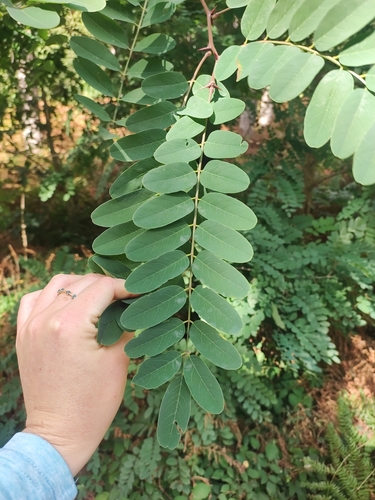
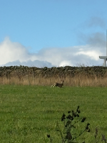
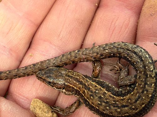
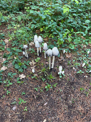
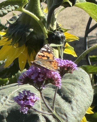
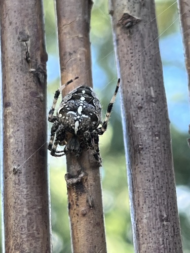

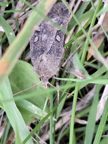
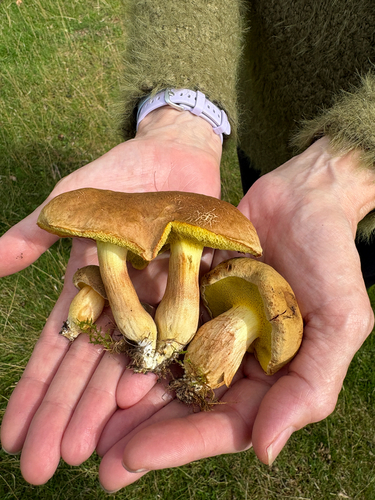
Research-grade observations from iNaturalist (within ~15 mi).
Events
Gallery
Official Identifiers
ONS — UK Office for National Statistics
- ONS code
- osgb4000000074572595
- Local type
- Village
- Region
- Yorkshire and the Humber
api.postcodes.io / OS Open Names
Sources
- • Wikipedia
- • iNaturalist
- • Open-Meteo / sunrise-sunset.org
- • Wikipedia Pageviews API
- • ONS / OS Open Names — UK official place gazetteer, via api.postcodes.io (OS code, local type, county/unitary, district/borough, region)
- • ONS — UK Office for National Statistics — api.postcodes.io / OS Open Names