Browse / United Kingdom / Scotland / Dundee
Dundee
Scotlandcity

Dundee
Total population
147,345
Air quality index
Demographic figures from UK Office for National Statistics. Overview below cites Wikipedia and may reference a different year.
City facts
Facts from Wikidata (CC0).
Overview
Dundee is the fourth-largest city in Scotland. The 2020 mid-year population estimate for the locality was 148,210. It lies within the eastern central Lowlands on the north bank of the Firth of Tay, which feeds into the North Sea.
Read more on WikipediaHistory & geography
History
While earlier evidence for human occupation is abundant, Dundee's success and growth as a seaport town arguably came as a result of William the Lion's charter, granting Dundee to his younger brother, David (later Earl of Huntingdon), in the late 12th century. The situation of the town and its promotion by Earl David as a trading centre led to a period of prosperity and growth. The earldom was passed down to David's descendants, amongst whom was John Balliol. The town became a Royal Burgh on John's coronation as king in 1292. The town and its castle were occupied by English forces for several years during the First War of Independence and recaptured by Robert the Bruce in early 1312. The original burghal charters were lost during the occupation and subsequently renewed by Bruce in 1327. The burgh suffered considerably during the conflict known as the Rough Wooing of 1543 to 1550, and was occupied by the English forces of Andrew Dudley from 1547. In 1548, unable to defend the town against an advancing Scottish force, Dudley ordered that the town be burnt to the ground. In 1645, during the Wars of the Three Kingdoms, Dundee was again besieged, this time by the Royalist Marquess of Montrose. The town was finally destroyed by Parliamentarian forces led by George Monck in 1651. The town played a pivotal role in the establishment of the Jacobite cause when John Graham of Claverhouse, 1st Viscount Dundee raised the Stuart standard on the Dundee Law in 1689. The town was held by the Jacobites in the 1715–16 rising, and on 6 January 1716 the Jacobite claimant to the throne, James VIII and III (the Old Pretender), made a public entry into the town. Many in Scotland, including many in Dundee, regarded him as the rightful king. A notable resident of Dundee was Adam Duncan, 1st…
Geography
Dundee sits on the north bank of the Firth of Tay on the eastern, North Sea Coast of Scotland. The city lies NNE of Edinburgh and NNW of London. The town is bisected by a line of hills stretching from Balgay Hill (elevation of 143 m) in the west end of the city, through the Dundee Law (174 m) which occupies the centre of the built up area, to Gallow Hill (83 m), between Baxter Park and the Eastern Cemetery. North of this ridge lies a valley through which cuts the Dighty Water burn, the elevation falling to around 45 m. North of the Dighty valley lie the Sidlaw Hills, the most prominent hill being Craigowl Hill (455 m). The western and eastern boundaries of the city are marked by two burns that are tributaries of the River Tay. On the westernmost boundary of the city, the Lochee burn meets the Fowlis burn, forming the Invergowrie burn, which meets the Tay at Invergowrie basin. Differential weathering of a series of igneous intrusions has yielded a number of prominent hills in the landscape, most notably the Dundee Law (a late Silurian/early Devonian Mafic rock intrusion) and Balgay hill (a Felsic rock intrusion of similar age). Very little of pre-Reformation Dundee remains, the destruction suffered in the War of the Rough Wooing being almost total, with only scattered, roofless shells remaining. The area occupied by the medieval burgh of Dundee extends between East Port and West Port, which formerly held the gates to the walled city. The shoreline has been altered considerably since the early 19th century through development of the harbour area and land reclamation. Several areas on the periphery of the burgh saw industrial development with the building of textile mills from the end of the 18th century. Their placement was dictated by the need for a water supply for…
Excerpted from the corresponding Wikipedia article (CC BY-SA).
Geography
Coordinates & boundaries from the US Census TIGER/Line shapefiles.
Climate
Air quality
Current readings from Open-Meteo Air Quality API (Copernicus CAMS European reanalysis).
Walkability
Amenities nearby
Wildlife & biodiversity
Most-observed species
- Herring GullLarus argentatus Pontoppidan, 1763 · Aves5,715
- Common Wood-PigeonColumba palumbus Linnaeus, 1758 · Aves5,365
- Carrion CrowCorvus corone Linnaeus, 1758 · Aves5,361
- eastern gray squirrelSciurus carolinensis Gmelin, 1788 · Mammalia4,627
- Eurasian red squirrelSciurus vulgaris Linnaeus, 1758 · Mammalia4,523
- European RobinErithacus rubecula (Linnaeus, 1758) · Aves3,726
- Eurasian BlackbirdTurdus merula Linnaeus, 1758 · Aves3,570
- DaisyBellis perennis L. · Magnoliopsida3,524
Citizen-science & research observations from the Global Biodiversity Information Facility (GBIF).
Earthquake history
Most recent
- M 3.5 — 2026-04-1642 km WNW of Comrie, United Kingdom
- M 3.9 — 2025-10-2029 km NW of Comrie, United Kingdom
- M 2.5 — 2005-12-313 km WSW of Auchterarder, United Kingdom
- M 2.5 — 2003-06-2012 km NNW of Balfron, United Kingdom
- M 2.8 — 2003-06-2014 km NNW of Balfron, United Kingdom
- M 3 — 2003-06-2012 km NNW of Balfron, United Kingdom
Events from the USGS Earthquake Catalog (global) (FDSN Event Web Service).
Photos
Sights & places nearby
Notable people from here

People born within ~10 km, from Wikidata (CC0). Click any name for their Wikipedia article.
Nearby places in Scotland
Geography & sun
Elevation, sunrise/sunset and daylight from Open-Meteo. Solar climatology from NASA POWER.
Nearby airports
Public attention
Pageview totals from the Wikimedia Pageviews API.
Books about Dundee

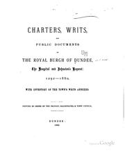


Search results from Open Library.
Recent natural events nearby
Ground air-quality sensors
Recently spotted species
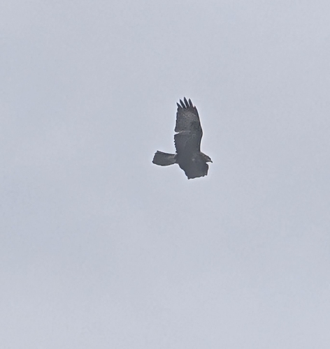
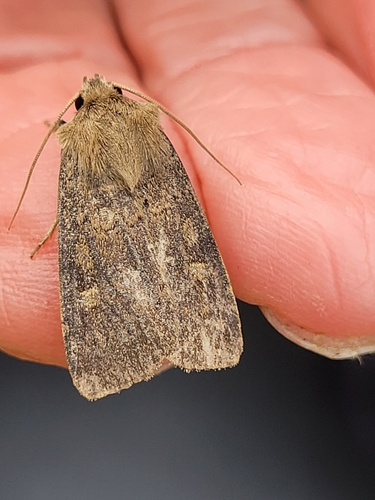
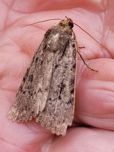
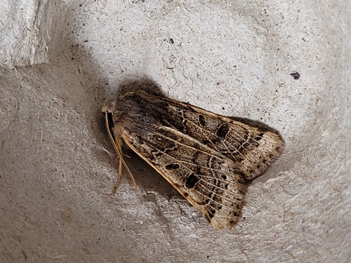
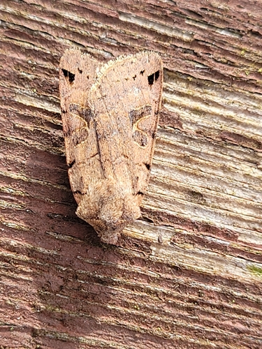
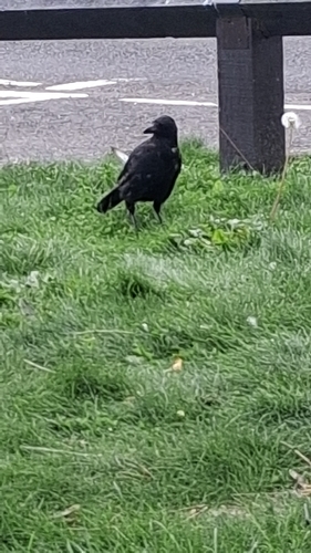
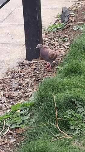
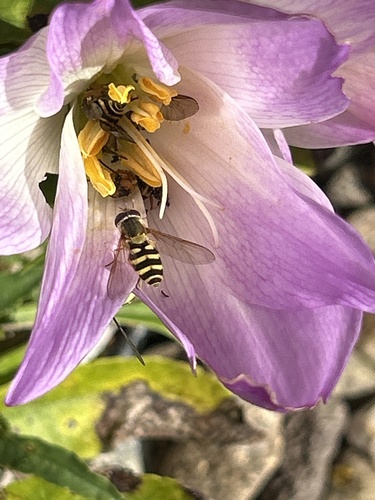
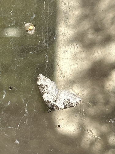
Research-grade observations from iNaturalist (within ~15 mi).
Events
Notable, recurring, and historical events associated with Dundee, sourced from Wikidata.
Source: Wikidata (CC0).
Gallery
Official Identifiers
ONS — UK Office for National Statistics
- ONS code
- osgb4000000074556889
- Local type
- City
- Region
- Scotland
api.postcodes.io / OS Open Names
Sources
- • Wikipedia
- • Wikidata
- • Open-Meteo Air Quality (CAMS)
- • USGS Earthquake Catalog (global feed)
- • GBIF (Global Biodiversity Information Facility)
- • iNaturalist
- • Open-Meteo / sunrise-sunset.org
- • Wikipedia Pageviews API
- • Open Library
- • Wikidata SPARQL (CC0) — population, area, elevation, inception, head of government, Commons image
- • ONS / OS Open Names — UK official place gazetteer, via api.postcodes.io (OS code, local type, county/unitary, district/borough, region)
- • ONS — UK Office for National Statistics — api.postcodes.io / OS Open Names