Browse / United Kingdom / Scotland / Duns
Duns
Scotlandtown

Duns
Total population
2,750
Demographic figures from UK Office for National Statistics. Overview below cites Wikipedia and may reference a different year.
City facts
Sister cities
Facts from Wikidata (CC0).
Overview
Duns is a historic market town in the Scottish Borders, Scotland. Historically the county town of the historic county of Berwickshire, it acts as a local commercial and service centre for the surrounding rural and agricultural area. It had a population of 3,127 in 2022.
Read more on WikipediaHistory & geography
History
Duns Law, the original site of the town of Duns, has the remains of an Iron Age hillfort at its summit. Similar structures nearby, such as the structure at Edin's Hall Broch, suggest the area's domestic and defensive use at a very early stage. Despite the town most likely dating its origins back to the 1000s, the first written mention of Duns is prior to 1179, when a 'Hugo de Duns' witnessed a charter of Roger d'Eu, of a grant of the benefice of the church of Langton to Kelso Abbey. The town is further mentioned when a "Robert of Douns" signed the Ragman Roll in 1296. The early settlement was sited on the slopes of Duns Law, close to the original Duns Castle built in 1320 by the Earl of Moray, nephew of Robert the Bruce. The town was frequently attacked by the English in border raids and as they headed north to the Lothians. In 1318 at Duns Park, the Earl of Dunbar, Sir James Douglas, and Sir Thomas Randolph met with their respective forces, prior to the retaking of Berwick by the Scots. In 1333 the Guardian of Scotland, Sir Archibald Douglas, mustered an army in Duns to march on Berwick, which at that time was under siege by the English. The Scots troops were heavily defeated at the Battle of Halidon Hill. 1377 saw the Earl of Northumberland invade Scotland. Camped at Duns, his army's horses were alarmed at night by the rattles used by the inhabitants to scare birds from their crops. The disarrayed English force was routed by the townsmen. The event is known as the Battle of Duns, and is the source of the town's motto, "Duns Dings A!" In 1513, some to the north of the town at Ellemford, James IV of Scotland mustered his army, prior to his campaign that would lead to the disastrous Battle of Flodden. The town was created a Burgh of Barony in 1490 by James IV…
Excerpted from the corresponding Wikipedia article (CC BY-SA).
Geography
Coordinates & boundaries from the US Census TIGER/Line shapefiles.
Climate
Air quality
Walkability
Amenities nearby
Wildlife & biodiversity
Earthquake history
Photos
Sights & places nearby
Notable people from here


People born within ~10 km, from Wikidata (CC0). Click any name for their Wikipedia article.
Nearby places in Scotland
Geography & sun
Elevation, sunrise/sunset and daylight from Open-Meteo. Solar climatology from NASA POWER.
Nearby airports
Public attention
Pageview totals from the Wikimedia Pageviews API.
Books about Duns
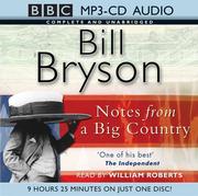

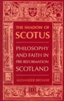


Search results from Open Library.
Recent natural events nearby
Ground air-quality sensors
Recently spotted species
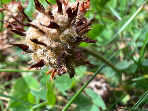
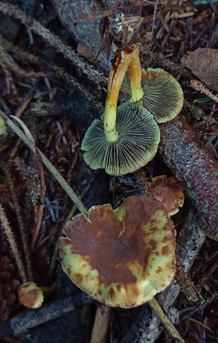
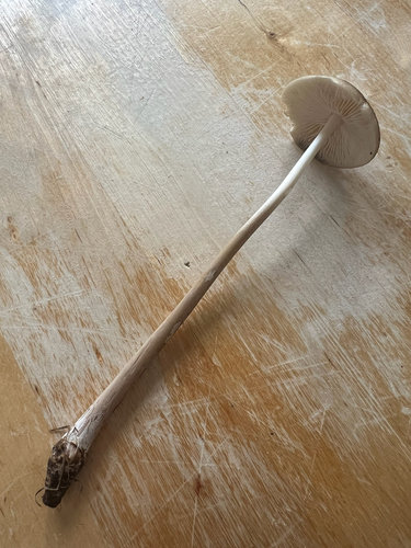
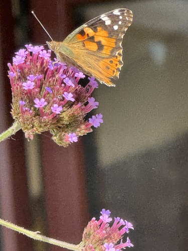
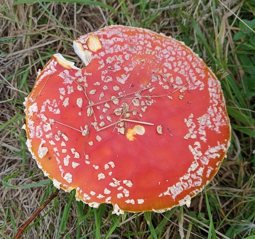
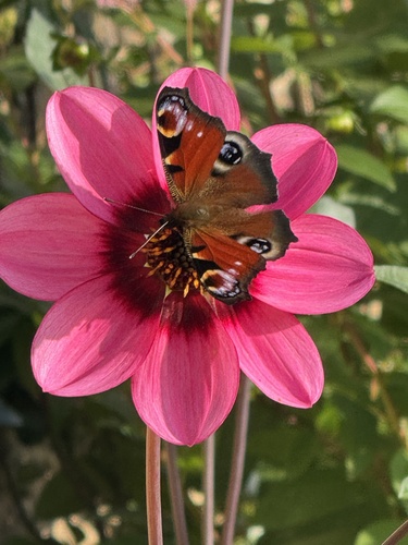
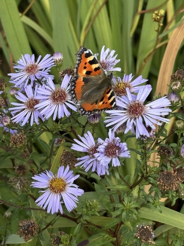
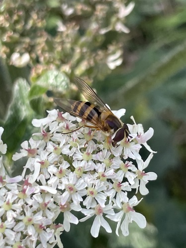
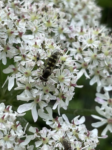
Research-grade observations from iNaturalist (within ~15 mi).
Events
Gallery
Official Identifiers
ONS — UK Office for National Statistics
- ONS code
- osgb4000000074554214
- Local type
- Town
- Region
- Scotland
api.postcodes.io / OS Open Names
Sources
- • Wikipedia
- • Wikidata
- • iNaturalist
- • Open-Meteo / sunrise-sunset.org
- • Wikipedia Pageviews API
- • Open Library
- • ONS / OS Open Names — UK official place gazetteer, via api.postcodes.io (OS code, local type, county/unitary, district/borough, region)
- • ONS — UK Office for National Statistics — api.postcodes.io / OS Open Names