Browse / United Kingdom / Scotland / Edinburgh
Edinburgh
Scotlandcity

Edinburgh
Total population
488,050
Air quality index
Demographic figures from UK Office for National Statistics. Overview below cites Wikipedia and may reference a different year.
City facts
Facts from Wikidata (CC0).
Overview
Edinburgh is the capital city of Scotland and one of its 32 council areas. It is located in southeast Scotland and is bounded to the north by the Firth of Forth and to the south by the Pentland Hills. Edinburgh had a population of 506,520 in 2020, making it the second-most-populous city in Scotland and the seventh-most-populous in the United Kingdom. The wider metropolitan area had a population of 912,490 in the same year.
Read more on WikipediaHistory & geography
History
The earliest known human habitation in the Edinburgh area was at Cramond, where evidence was found of a Mesolithic camp site dated to c. 8500 BC. Traces of later Bronze Age and Iron Age settlements have been found on Castle Rock, Arthur's Seat, Craiglockhart Hill, and the Pentland Hills. When the Romans arrived in Lothian at the end of the 1st century AD, they found a Brittonic Celtic tribe whose name they recorded as the Votadini. The Votadini transitioned into the Gododdin kingdom in the Early Middle Ages, with Eidyn serving as one of the kingdom's districts. During this period, the Castle Rock site, thought to have been the stronghold of Din Eidyn, emerged as the kingdom's major centre. The medieval Welsh-language poem Y Gododdin describes a war band from across the Brittonic world who gathered in Eidyn before a fateful raid; this may describe a historical event around 600AD. In 638 the Gododdin stronghold was besieged by forces loyal to King Oswald of Northumbria, and around this time, control of Lothian passed to the Angles. Their influence continued for the next three centuries until around 950, when, during the reign of Indulf, son of Constantine II, the "burh" (fortress), named in the 10th-century Pictish Chronicle as oppidum Eden, was abandoned to the Scots. It thenceforth remained, for the most part, under their jurisdiction. The royal burgh was founded by King David I in the early 12th century on land belonging to the Crown, though the date of its charter is unknown. The first documentary evidence of the medieval burgh is a royal charter, , by King David I granting a toft in to the Priory of Dunfermline. The shire of Edinburgh seems also to have been created during David's reign, possibly covering all of Lothian at first, but by 1305 the eastern and…
Geography
Situated in Scotland's Central Belt, Edinburgh lies on the southern shore of the Firth of Forth. The city centre is southwest of the shoreline of Leith and inland, as the crow flies, from the east coast of Scotland and the North Sea at Dunbar. While the early burgh grew up near the prominent Castle Rock, the modern city is often said to be built on seven hills, namely Calton Hill, Corstorphine Hill, Craiglockhart Hill, Braid Hill, Blackford Hill, Arthur's Seat and the Castle Rock, giving rise to allusions to the seven hills of Rome. Occupying a narrow gap between the Firth of Forth to the north and the Pentland Hills and their outrunners to the south, the city sprawls over a landscape which is the product of early volcanic activity and later periods of intensive glaciation. Igneous activity between 350 and 400 million years ago, coupled with faulting, led to the creation of tough basalt volcanic plugs, which predominate over much of the area. This process formed the distinctive Salisbury Crags, a series of teschenite cliffs between Arthur's Seat and the location of the early burgh. The residential areas of Marchmont and Bruntsfield are built along a series of drumlin ridges south of the city centre, which were deposited as the glacier receded. The nearest the river gets to the city centre is at Dean Village on the north-western edge of the New Town, where a deep gorge is spanned by Thomas Telford's Dean Bridge, built in 1832 for the road to Queensferry. The Water of Leith Walkway is a mixed-use trail that follows the course of the river for from Balerno to Leith. Excepting the shoreline of the Firth of Forth, Edinburgh is encircled by a green belt, designated in 1957, which stretches from Dalmeny in the west to Prestongrange in the east. With an average width of…
Excerpted from the corresponding Wikipedia article (CC BY-SA).
Geography
Coordinates & boundaries from the US Census TIGER/Line shapefiles.
Climate
Air quality
Current readings from Open-Meteo Air Quality API (Copernicus CAMS European reanalysis).
Walkability
Amenities nearby
Wildlife & biodiversity
Most-observed species
- Common Wood-PigeonColumba palumbus Linnaeus, 1758 · Aves17,470
- Carrion CrowCorvus corone Linnaeus, 1758 · Aves16,096
- Eurasian MagpiePica pica (Linnaeus, 1758) · Aves15,114
- Herring GullLarus argentatus Pontoppidan, 1763 · Aves13,093
- Eurasian BlackbirdTurdus merula Linnaeus, 1758 · Aves12,629
- European RobinErithacus rubecula (Linnaeus, 1758) · Aves12,439
- Eurasian Blue TitCyanistes caeruleus (Linnaeus, 1758) · Aves11,209
- Western JackdawColoeus monedula (Linnaeus, 1758) · Aves10,997
Citizen-science & research observations from the Global Biodiversity Information Facility (GBIF).
Earthquake history
Most recent
- M 3.9 — 2025-10-2029 km NW of Comrie, United Kingdom
- M 2.5 — 2018-08-301 km ENE of Gourock, United Kingdom
- M 2.5 — 2005-12-313 km WSW of Auchterarder, United Kingdom
- M 2.5 — 2003-06-2012 km NNW of Balfron, United Kingdom
- M 2.8 — 2003-06-2014 km NNW of Balfron, United Kingdom
- M 3 — 2003-06-2012 km NNW of Balfron, United Kingdom
Events from the USGS Earthquake Catalog (global) (FDSN Event Web Service).
Photos
Sights & places nearby
Notable people from here


People born within ~10 km, from Wikidata (CC0). Click any name for their Wikipedia article.
Nearby places in Scotland
Geography & sun
Elevation, sunrise/sunset and daylight from Open-Meteo. Solar climatology from NASA POWER.
Nearby airports
Public attention
Pageview totals from the Wikimedia Pageviews API.
Books about Edinburgh


Search results from Open Library.
Recent natural events nearby
Ground air-quality sensors
Recently spotted species
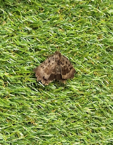
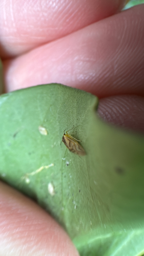
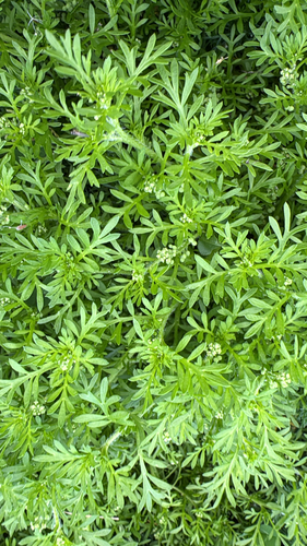
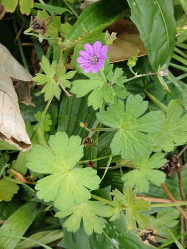


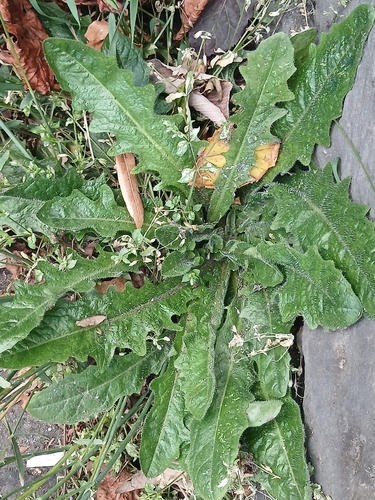
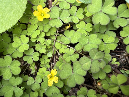
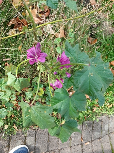
Research-grade observations from iNaturalist (within ~15 mi).
Events
Notable, recurring, and historical events associated with Edinburgh, sourced from Wikidata.
- Jan 1, 2014
- Dec 9, 2013
- 2010 European Conference on Science and TheologyJan 1, 2010recurring event edition
conference on theology and science in 2010
- Workshop on Semantic Web Applications and Tools for Life SciencesNov 28, 2008recurring event edition
- Jan 1, 1986
- Q110886751Sep 8, 1973sporting event
- Q110896087Sep 7, 1973sporting event
- Edinburgh Spanish Film Festivalrecurring event
Source: Wikidata (CC0).
Gallery
Official Identifiers
ONS — UK Office for National Statistics
- ONS code
- osgb4000000074558316
- Local type
- City
- Region
- Scotland
api.postcodes.io / OS Open Names
Sources
- • Wikipedia
- • Wikidata
- • Open-Meteo Air Quality (CAMS)
- • USGS Earthquake Catalog (global feed)
- • GBIF (Global Biodiversity Information Facility)
- • iNaturalist
- • Open-Meteo / sunrise-sunset.org
- • Wikipedia Pageviews API
- • Open Library
- • Wikidata SPARQL (CC0) — population, area, elevation, inception, head of government, Commons image
- • ONS / OS Open Names — UK official place gazetteer, via api.postcodes.io (OS code, local type, county/unitary, district/borough, region)
- • ONS — UK Office for National Statistics — api.postcodes.io / OS Open Names