Browse / United Kingdom / Scotland / Elgin
Elgin
Scotlandtown

Elgin
Total population
25,040
Air quality index
Demographic figures from UK Office for National Statistics. Overview below cites Wikipedia and may reference a different year.
City facts
Sister cities
Facts from Wikidata (CC0).
Overview
Elgin is a historic market town and formerly a royal burgh in Moray, Scotland. It is the administrative and commercial centre for Moray. The town originated to the south of the River Lossie on the higher ground above the floodplain where the town of Birnie is. There, the church of Birnie Kirk was built in 1140 and still serves the community.
Read more on WikipediaHistory & geography
History
The discovery of the Elgin Pillar, a 9th-century class II Pictish stone, under the High Street in 1823 suggests there may have been an Early Christian presence in the area of the later market, but there is no further evidence of activity before Elgin was created a Royal Burgh in the 12th century. In August 1040, MacBeth's army defeated and killed Duncan I at Bothganowan (Pitgaveny), near Elgin. Elgin is first recorded in a charter of David I in 1151 in which he granted an annuity to the Priory of Urquhart. David had made Elgin a royal burgh around 1130, after his defeat of Óengus of Moray. During David's reign, the castle was established at the top of what is now Lady Hill. The town received a royal charter from Alexander II in 1224 when he granted the land for a new cathedral to Andrew, Bishop of Moray. This finally settled the episcopal see which had been at various times at Kinneddar, Birnie and Spynie. The ancient Forest of Darnaway was designated a Royal Forest and was used by the Scottish kings for hunting. Alexander II was Elgin's greatest benefactor and returned many times to his royal castle. He established the two religious houses of the town, the Dominicans or Blackfriars on the west side and the Franciscans or Greyfriars in the east. Further to the east stood the Hospital of Maison Dieu, or House of God also founded during the reign of Alexander II for the reception of poor men and women. On 19 July 1224, the foundation stone of the new Elgin Cathedral was ceremoniously laid. The cathedral was completed sometime after 1242 but was completely destroyed by fire in 1270. The reasons for this are unrecorded. The buildings now remain as ruins date from the reconstruction following that fire. The Chartulary of Moray described the completed cathedral as "Mirror…
Excerpted from the corresponding Wikipedia article (CC BY-SA).
Geography
Coordinates & boundaries from the US Census TIGER/Line shapefiles.
Climate
Air quality
Current readings from Open-Meteo Air Quality API (Copernicus CAMS European reanalysis).
Walkability
Amenities nearby
Wildlife & biodiversity
Most-observed species
- Herring GullLarus argentatus Pontoppidan, 1763 · Aves1,778
- Carrion CrowCorvus corone Linnaeus, 1758 · Aves1,323
- common bottlenose dolphinTursiops truncatus (Montagu, 1821) · Mammalia1,220
- Eurasian OystercatcherHaematopus ostralegus Linnaeus, 1758 · Aves1,208
- Great Black-backed GullLarus marinus Linnaeus, 1758 · Aves1,052
- Common Wood-PigeonColumba palumbus Linnaeus, 1758 · Aves1,043
- Eurasian red squirrelSciurus vulgaris Linnaeus, 1758 · Mammalia1,023
- Black-headed GullChroicocephalus ridibundus (Linnaeus, 1766) · Aves953
Citizen-science & research observations from the Global Biodiversity Information Facility (GBIF).
Earthquake history
Events from the USGS Earthquake Catalog (global) (FDSN Event Web Service).
Photos
Sights & places nearby
Notable people from here


People born within ~10 km, from Wikidata (CC0). Click any name for their Wikipedia article.
Nearby places in Scotland
Geography & sun
Elevation, sunrise/sunset and daylight from Open-Meteo. Solar climatology from NASA POWER.
Nearby airports
Public attention
Pageview totals from the Wikimedia Pageviews API.
Books about Elgin


Search results from Open Library.
Recent natural events nearby
Ground air-quality sensors
Recently spotted species
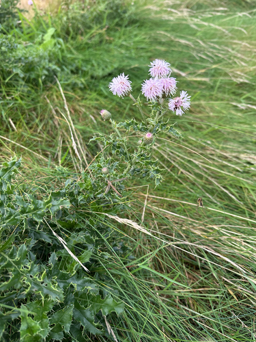
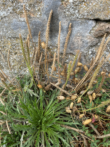
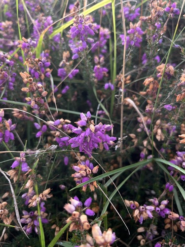
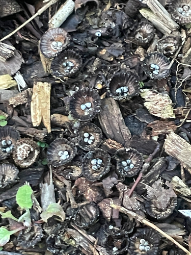
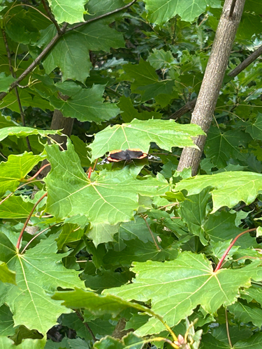
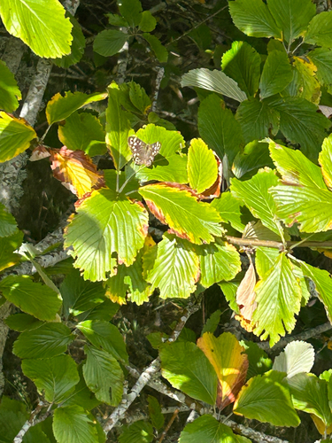
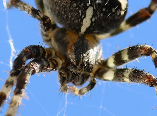
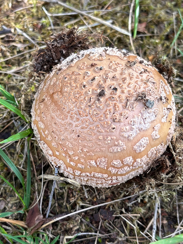
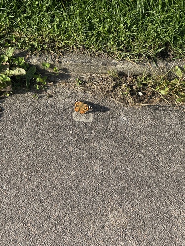
Research-grade observations from iNaturalist (within ~15 mi).
Events
Gallery
Official Identifiers
ONS — UK Office for National Statistics
- ONS code
- osgb4000000074561574
- Local type
- Town
- Region
- Scotland
api.postcodes.io / OS Open Names
Sources
- • Wikipedia
- • Wikidata
- • Open-Meteo Air Quality (CAMS)
- • USGS Earthquake Catalog (global feed)
- • GBIF (Global Biodiversity Information Facility)
- • iNaturalist
- • Open-Meteo / sunrise-sunset.org
- • Wikipedia Pageviews API
- • Open Library
- • Wikidata SPARQL (CC0) — population, area, elevation, inception, head of government, Commons image
- • ONS / OS Open Names — UK official place gazetteer, via api.postcodes.io (OS code, local type, county/unitary, district/borough, region)
- • ONS — UK Office for National Statistics — api.postcodes.io / OS Open Names