Browse / United Kingdom / England / Exeter
Exeter
Englandcity

Exeter
Total population
130,800
Demographic figures from UK Office for National Statistics. Overview below cites Wikipedia and may reference a different year.
City facts
Sister cities
Facts from Wikidata (CC0).
Overview
Exeter is a cathedral city and the county town of Devon in South West England. It is situated on the River Exe, approximately 36 mi (58 km) northeast of Plymouth and 65 mi (105 km) southwest of Bristol. In 2024, Exeter had a population of 138,399, making it the second largest settlement in Devon after Plymouth. Under local government restructuring plans Exeter will, with the addition of parishes from East Devon, Teignbridge and Mid Devon, become the Exeter unitary authority from 2028.
Read more on WikipediaHistory & geography
History
Exeter began as settlements on a dry ridge ending in a spur overlooking a navigable river teeming with fish, with fertile land nearby. Although there have been no major prehistoric finds, these advantages suggest the site was occupied early. Coins from the Hellenistic kingdoms suggest the existence of a settlement trading with the Mediterranean as early as . In AD 55, the Romans established a fort (Castrum) named Isca at this site. The fort served as the southwest terminus of the Fosse Way (part of the Antonine Itinerary) and base for the 5,000-man Second Augustan Legion. An unplanned community () of natives and the soldiers' families grew up around it, which served as the tribal capital of the Dumnonii. When the fortress was abandoned AD 75, its grounds were converted to civilian use: its very large bathhouse was replaced by a forum and a basilica, and a smaller-scale bath was erected to the southeast. The settlement seems to have been most prosperous in the first half of the 4th century: more than a thousand Roman coins have been found around the city and there is evidence for copper and bronze working, a stock-yard, and markets for the livestock, crops, and pottery produced in the surrounding countryside. The absence of coins dated after 380 suggests a rapid decline by this point. Nothing is certainly known of Exeter from the time of the Roman withdrawal from Britain around 410 until the seventh century, when it was held by the Saxons (to whom it was known as Escanceaster In 876, the city was attacked and briefly captured by Danish Vikings before Alfred the Great drove them out the next summer. These permitted the city to repel another attack and siege by the Danes in 893. After failing again in 1001, the Danes were finally able to plunder it in 1003…
Geography
Exeter was established on the eastern bank of the River Exe on a ridge of land backed by a steep hill. It is at this point that the Exe, having just been joined by the River Creedy, opens onto a wide flood plain and estuary which makes the area flood-prone. Historically this was the lowest bridging point of the Exe, which was tidal and navigable up to the city until the construction of weirs later in its history. The Exe Estuary begins south of the city and runs for approximately eight miles before it reaches the English Channel. Exeter sits predominantly on sandstone and conglomerate geology, although the structure of the surrounding areas is varied. The topography of the ridge which forms the backbone of the city includes a volcanic plug, on which the Rougemont Castle is situated. The cathedral is located on the edge of this ridge and is therefore visible for a considerable distance. Exeter shares with the rest of South West England an oceanic climate, according to the Köppen climate classification, which is typified by frequent cloudy skies, mild winters with generally warm summers and precipitation all year round, especially in winter. Compared with the rest of the country, it is generally wetter and milder. Much of the rainfall in Exeter is caused by Atlantic depressions, especially in autumn and winter, or by convection. Average annual rainfall is around . In common with the rest of the South West, the seasonal temperature variation in Exeter is less extreme than in most of the United Kingdom due to the proximity of the sea. The hottest month is July with an average high of , and the coldest month is January with an average high of . The highest recorded temperature in Exeter stands at recorded in June 2026, while the lowest recorded temperature is recorded…
Excerpted from the corresponding Wikipedia article (CC BY-SA).
Geography
Coordinates & boundaries from the US Census TIGER/Line shapefiles.
Climate
Air quality
Walkability
Amenities nearby
Wildlife & biodiversity
Earthquake history
Photos
Sights & places nearby
Notable people from here


People born within ~10 km, from Wikidata (CC0). Click any name for their Wikipedia article.
Nearby places in England
Geography & sun
Elevation, sunrise/sunset and daylight from Open-Meteo. Solar climatology from NASA POWER.
Nearby airports
Public attention
Pageview totals from the Wikimedia Pageviews API.
Books about Exeter



Search results from Open Library.
Recent natural events nearby
Ground air-quality sensors
Recently spotted species



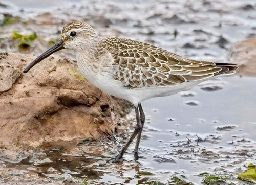
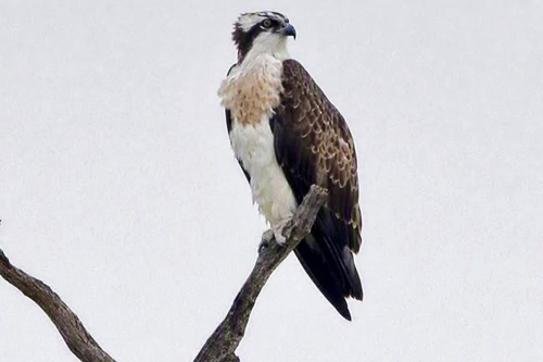

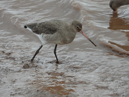

Research-grade observations from iNaturalist (within ~15 mi).
Events
Gallery
Official Identifiers
ONS — UK Office for National Statistics
- ONS code
- osgb4000000074556577
- Local type
- City
- Region
- South West
api.postcodes.io / OS Open Names
Sources
- • Wikipedia
- • Wikidata
- • iNaturalist
- • Open-Meteo / sunrise-sunset.org
- • Wikipedia Pageviews API
- • Open Library
- • Wikidata SPARQL (CC0) — population, area, elevation, inception, head of government, Commons image
- • ONS / OS Open Names — UK official place gazetteer, via api.postcodes.io (OS code, local type, county/unitary, district/borough, region)
- • ONS — UK Office for National Statistics — api.postcodes.io / OS Open Names