Browse / United Kingdom / Scotland / Fallin
Fallin
Scotlandvillage

Fallin
Total population
2,850
Demographic figures from UK Office for National Statistics. Overview below cites Wikipedia and may reference a different year.
City facts
Overview
Fallin is a former pit village in Central Stirling, in the county of Stirlingshire. It was on the site of the Polmaise Colliery 3&4, and both of the names Polmaise and Fallin were commonly used. Fallin is regarded the last traditional pit village in Scotland. The area lies on the A905 road 3 miles east of Stirling on a bend in the River Forth. The 2001 United Kingdom census recorded the population as 2,710.
Read more on WikipediaHistory & geography
History
The village of Fallin originated in the early 1900s as a result of coal production at Polmaise colliery which began in 1905. The blocks, housing for miners and families, were built shortly after and provided housing for over 200 families. In June 1907, Fallin Primary School was completed and Alexander McLeod was headmaster of the school until 1926. An official strike was called at Polmaise on 21 February 1984 and eventually the strike expanded nationally across the UK on 9 March 1984. Polmaise colliery was finally closed on 17 July 1987, at which time 112 men were still employed there.
Geography
Fallin is situated along the River Forth. The Wester Moss nature reserve in Fallin was given a Site of Special Scientific interest (SSSI) status because its peat bog holds ecological importance.
Excerpted from the corresponding Wikipedia article (CC BY-SA).
Geography
Coordinates & boundaries from the US Census TIGER/Line shapefiles.
Climate
Air quality
Walkability
Amenities nearby
Wildlife & biodiversity
Earthquake history
Photos
Sights & places nearby
Notable people from here


People born within ~10 km, from Wikidata (CC0). Click any name for their Wikipedia article.
Nearby places in Scotland
Geography & sun
Elevation, sunrise/sunset and daylight from Open-Meteo. Solar climatology from NASA POWER.
Nearby airports
Public attention
Pageview totals from the Wikimedia Pageviews API.
Books about Fallin

Search results from Open Library.
Recent natural events nearby
Ground air-quality sensors
Recently spotted species
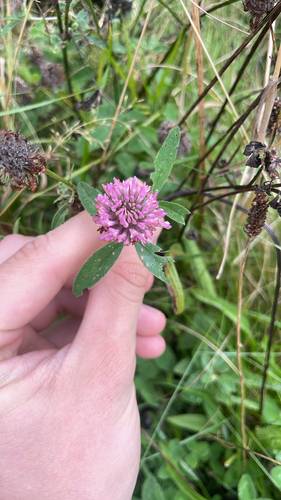
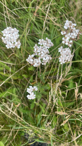
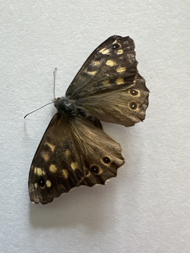
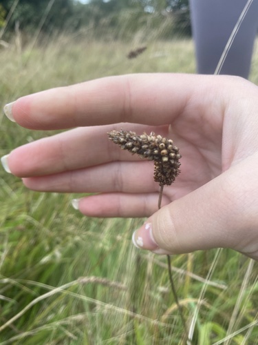
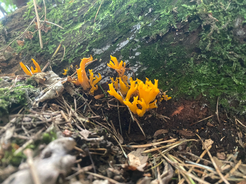
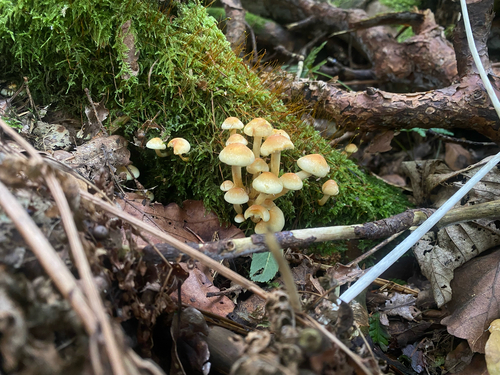
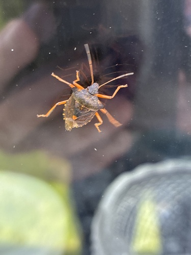
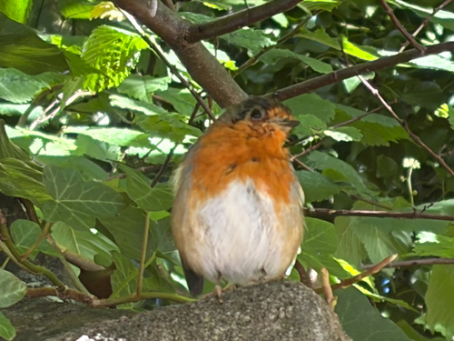
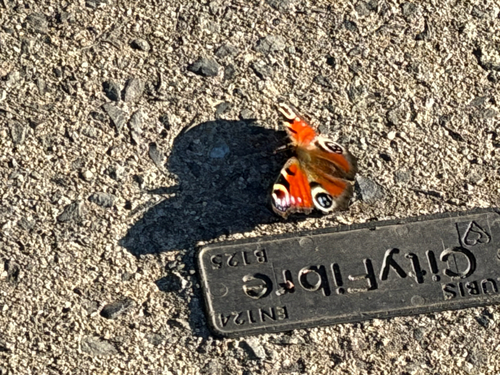
Research-grade observations from iNaturalist (within ~15 mi).
Events
Gallery
Official Identifiers
ONS — UK Office for National Statistics
- ONS code
- osgb4000000074551013
- Local type
- Village
- Region
- Scotland
api.postcodes.io / OS Open Names
Sources
- • Wikipedia
- • Wikidata
- • iNaturalist
- • Open-Meteo / sunrise-sunset.org
- • Wikipedia Pageviews API
- • Open Library
- • ONS / OS Open Names — UK official place gazetteer, via api.postcodes.io (OS code, local type, county/unitary, district/borough, region)
- • ONS — UK Office for National Statistics — api.postcodes.io / OS Open Names