Browse / United Kingdom / Scotland / Fauldhouse
Fauldhouse
Scotlandtown

Fauldhouse
Total population
4,900
Demographic figures from UK Office for National Statistics. Overview below cites Wikipedia and may reference a different year.
City facts
Overview
Fauldhouse is a village in West Lothian, Scotland. It is about halfway between Glasgow and Edinburgh. The nearest towns to Fauldhouse are Whitburn and Livingston. Other neighbouring villages include Longridge, Shotts and Stoneyburn. At approximately 750 feet above sea level, Fauldhouse is one of the highest villages in West Lothian.
Read more on WikipediaHistory & geography
History
Settlements and farms within Fauldhouse have existed since, at least, the Middle Ages, and was known until the 19th century by the names Falas, Fallas, Fawlhous and Falhous. The first written mention of Fauldhouse was in 1523. A mine existed in the area as early as 1790. * Crofthead Quarry and mines (sandstone and iron ore), below the area now marked by Quarry road. Crofthead also included a brick works. Operations ceased in 1909 and the area was used as a rubbish dump by West Lothian County Council before returned to private ownership. * Fauldhousehills and Fallahills quarries (sandstone). * Braehead quarries (sandstone, coal and other minerals). * Shotts road colliery, established between 1864 and 1899. * Bridge-end colliery (coal). * Eastfield collieries (coal and iron ore). The central street, Main Street has a number of substantial ashlar stone cottages. These are known locally as the “Garibaldi Row”. In 1895, the Caledonia Hotel was built and served as a station hotel and cultural venue for the village. In 1908, a drill hall was built in the village and alter incorporated into the structure of the local mining institute. The hall had an indoor firing range and in 1914 the hall was base for "F" Company, 10th [Cyclist] Battalion, Royal Scots.
Geography
At 3.4 kilometers to the south east of Fauldhouse, overlooking the village, lies the Leven Seat hill. The hill has a height of 356 meters. Atop the hill there is a small statue of Buddha on the hill's trig point. The Leven Seat Klostoph Buddha used to sit on the water trough at the bottom of the hill. It was frequently carried to the trig point and back down but now sits permanently at the top. Over the years it has been painted white from its original grey and more recently, gold.
Excerpted from the corresponding Wikipedia article (CC BY-SA).
Geography
Coordinates & boundaries from the US Census TIGER/Line shapefiles.
Climate
Air quality
Walkability
Amenities nearby
Wildlife & biodiversity
Most-observed species
- Common Wood-PigeonColumba palumbus Linnaeus, 1758 · Aves1,136
- Carrion CrowCorvus corone Linnaeus, 1758 · Aves1,103
- Eurasian MagpiePica pica (Linnaeus, 1758) · Aves982
- European RobinErithacus rubecula (Linnaeus, 1758) · Aves944
- Western JackdawColoeus monedula (Linnaeus, 1758) · Aves865
- MallardAnas platyrhynchos Linnaeus, 1758 · Aves865
- Eurasian BlackbirdTurdus merula Linnaeus, 1758 · Aves845
- Eurasian Blue TitCyanistes caeruleus (Linnaeus, 1758) · Aves834
Citizen-science & research observations from the Global Biodiversity Information Facility (GBIF).
Earthquake history
Most recent
- M 3.5 — 2026-04-1642 km WNW of Comrie, United Kingdom
- M 3.9 — 2025-10-2029 km NW of Comrie, United Kingdom
- M 2.5 — 2018-08-301 km ENE of Gourock, United Kingdom
- M 3.6 — 2006-12-262 km NW of Dumfries, United Kingdom
- M 2.5 — 2005-12-313 km WSW of Auchterarder, United Kingdom
- M 2.5 — 2003-06-2012 km NNW of Balfron, United Kingdom
Events from the USGS Earthquake Catalog (global) (FDSN Event Web Service).
Photos
Sights & places nearby
Notable people from here


People born within ~10 km, from Wikidata (CC0). Click any name for their Wikipedia article.
Nearby places in Scotland
Geography & sun
Elevation, sunrise/sunset and daylight from Open-Meteo. Solar climatology from NASA POWER.
Nearby airports
Public attention
Pageview totals from the Wikimedia Pageviews API.
Books about Fauldhouse
Search results from Open Library.
Recent natural events nearby
Ground air-quality sensors
Recently spotted species
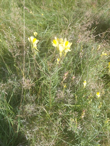
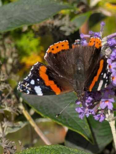
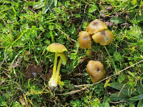
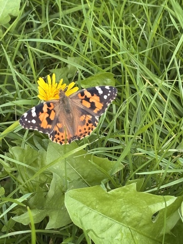
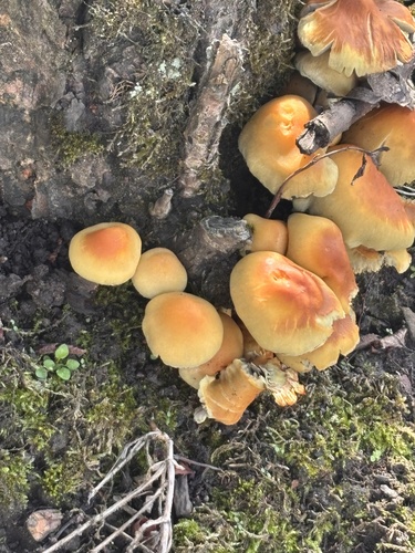
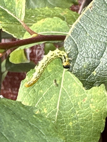
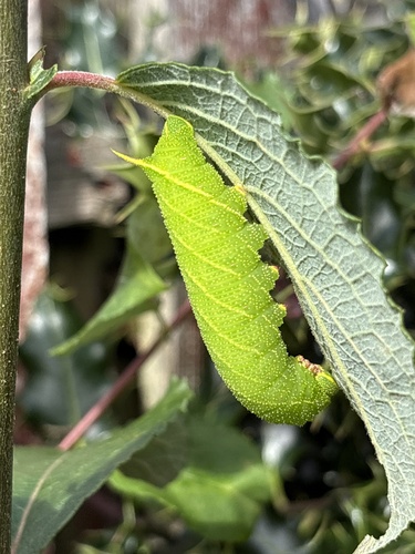
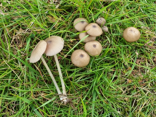
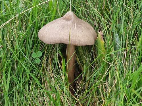
Research-grade observations from iNaturalist (within ~15 mi).
Events
Gallery
Official Identifiers
ONS — UK Office for National Statistics
- ONS code
- osgb4000000074557576
- Local type
- Village
- Region
- Scotland
api.postcodes.io / OS Open Names
Sources
- • Wikipedia
- • Wikidata
- • USGS Earthquake Catalog (global feed)
- • GBIF (Global Biodiversity Information Facility)
- • iNaturalist
- • Open-Meteo / sunrise-sunset.org
- • Wikipedia Pageviews API
- • Open Library
- • ONS / OS Open Names — UK official place gazetteer, via api.postcodes.io (OS code, local type, county/unitary, district/borough, region)
- • ONS — UK Office for National Statistics — api.postcodes.io / OS Open Names