Browse / United Kingdom / England / Filey
Filey
Englandtown

Filey
Total population
6,819
Demographic figures from UK Office for National Statistics. Overview below cites Wikipedia and may reference a different year.
City facts
Facts from Wikidata (CC0).
Overview
Filey is a seaside town and civil parish in North Yorkshire, England. It is located between Scarborough and Bridlington on Filey Bay. Although previously a fishing village, it has a large sandy beach and became a popular tourist resort. According to the 2011 UK census, Filey parish had a population of 6,981, in comparison to the 2001 UK census population figure of 6,819, and a population of 6,870 in 1991.
Read more on WikipediaHistory & geography
History
In 1857 the foundations of a 4th-century Roman signal station were discovered at the Carr Naze cliff edge at the northern end of Filey Bay. The structure is long with a square tower wide, a defensive ditch and ramparts from a later era. Excavations at the time of the find and subsequently in the 1920s and 1990s uncovered Roman pottery and hoards of coins. The site is a protected Scheduled Monument. The find of Roman remains supports the case for Filey being the Roman settlement of Portus Felix. The origin of the name Filey is uncertain. One theory derives it from the Old English fīfelēg meaning 'monster island' referring to the shape of a rock projection at the shore. Other theories derive it from fīflēah meaning 'five woods or clearings' or from the Old Norse fífa meaning 'cottongrass' and the Old English lēah meaning 'wood or clearing'. The 12th century parish church dedicated to St Oswald, on Church Hill in the north of the town, is a Grade I listed building. It is the oldest building in Filey and Nicholas Pevsner wrote "This is easily the finest church in the NE corner of the East Riding" (Buildings of England). St Oswald's has nearly 1,500 pieces of well-preserved medieval graffiti on the roof of the tower, ranging from initials up to complicated images of fully rigged sailing vessels, including one known as a Whitby Cat. The graffiti covers around 400 years of Filey's history, and maps out identifiable people, their occupations, changes in literacy and coastal shipping, the start of tourism in the area, and even a possible record of 17th century plague. The graffiti was recorded and analysed by Historic England in 2016. Filey was a small village until the 18th century when visitors from Scarborough arrived seeking the peace and quiet that Filey then offered.…
Excerpted from the corresponding Wikipedia article (CC BY-SA).
Geography
Coordinates & boundaries from the US Census TIGER/Line shapefiles.
Climate
Air quality
Walkability
Amenities nearby
Wildlife & biodiversity
Earthquake history
Photos
Sights & places nearby
Notable people from here
Geography & sun
Elevation, sunrise/sunset and daylight from Open-Meteo. Solar climatology from NASA POWER.
Nearby airports
Public attention
Pageview totals from the Wikimedia Pageviews API.
Books about Filey


Search results from Open Library.
Recent natural events nearby
Ground air-quality sensors
Recently spotted species

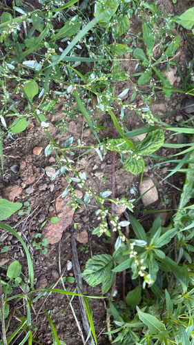
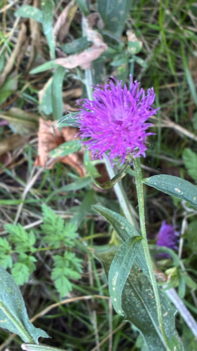
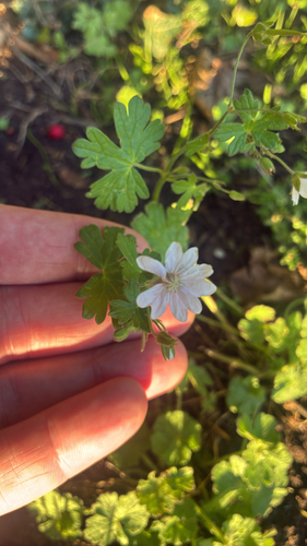
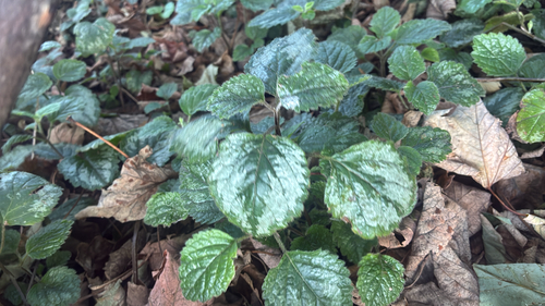
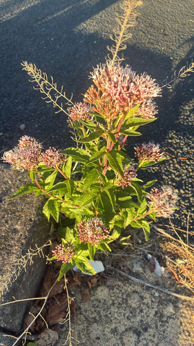
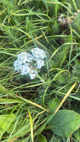
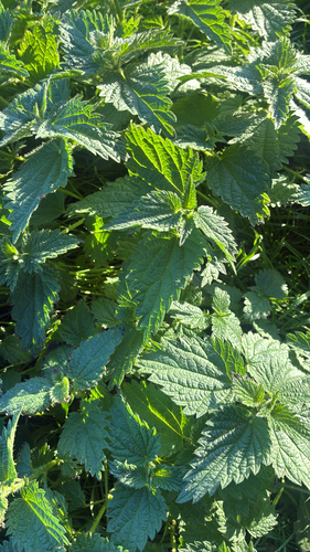

Research-grade observations from iNaturalist (within ~15 mi).
Events
Gallery
Official Identifiers
ONS — UK Office for National Statistics
- ONS code
- osgb4000000074572097
- Local type
- Town
- Region
- Yorkshire and the Humber
api.postcodes.io / OS Open Names
Sources
- • Wikipedia
- • Wikidata
- • iNaturalist
- • Open-Meteo / sunrise-sunset.org
- • Wikipedia Pageviews API
- • Open Library
- • ONS / OS Open Names — UK official place gazetteer, via api.postcodes.io (OS code, local type, county/unitary, district/borough, region)
- • ONS — UK Office for National Statistics — api.postcodes.io / OS Open Names