Browse / United Kingdom / Northern Ireland / Fintona
Fintona
Northern Irelandvillage

Fintona
Demographic figures from UK Office for National Statistics. Overview below cites Wikipedia and may reference a different year.
City facts
Overview
Fintona, is a village and townland in County Tyrone, Northern Ireland. Its population at the 2021 census was 1,217.
Read more on WikipediaHistory & geography
History
The local area has been known to have had human activity for around 4000 years; there are many burial places, standing stones, stone circles and graves in the area around Fintona. The current village is developed from an Uí Néill fortress built in 1431 and is one of Tyrone's oldest settlements. Some time after the Plantation of Ulster, by 1668 the dominant landowners in the area was the Eccles Family and their Manor House, which was located in what is nowadays Fintona Golf Club and Ecclesville Park on the Ecclesville Demesne, was built in 1703. As in many other parts of Ireland during the 19th Century, the expansion of the railway network saw the village connected with the rest of the country. There were two stations, Fintona (open 5 June 1853) and Fintona Junction (open 1 May 1856). Connecting the two stations was a horse-drawn tram which took passengers from the village to Fintona Junction railway station which was a stop on the Londonderry and Enniskillen Railway which itself was part of the Great Northern Railway. Both stations closed on 1 October 1957. Possibly the most well known bit of history associated with Fintona was the horse-drawn tram (or "van" to the locals) that took passengers from Fintona railway station to Fintona Junction station one mile away. The name of the horse was always "Dick" regardless of sex. First class and second class passengers travelled inside while third class travellers sat exposed to the elements on the top. The tram made its last trip on 30 September 1957 when the Omagh to Enniskillen line closed, and with it, Fintona's rail links to the rest of Ireland. When retired, it was the second-last existing example of a horse-drawn tram in public service in the British Isles, the only remaining one now being on Douglas promenade, Isle…
Geography
Fintona lies in the civil parish of Donacavey, in the south west of County Tyrone bordering County Fermanagh. The parish was split between two historical baronies – Fintona itself along with the majority of Donacavey was part of the Clogher barony while a northern portion of the parish lay in the barony of Omagh East. The village lies across several gentle hills, including Main Street whose centre lies on a hill summit and its ends at the feet of the same hill. There are small pockets of flat ground, mostly at the Ecclesville Demesne. By road distance, Omagh, the county town of Tyrone, lies north, Enniskillen is south-west, while Belfast and Dublin are east and south-east respectively. Towards the south-east about away, about half-way between Fintona and the village of Fivemiletown, the land rises to the summit of Murley Mountain, (known better locally as "Fivemiletown Mountain", also occasionally known as "Stranisk Hill" after its local townland), which has a peak of above sea level. At this peak and the surrounding land are two close by wind farms, Lendrums Bridge (open 2000) and Hunters Hill (open 2008). A small river named the "Quiggery Water", whose source is located on the northern slopes of Murley Mountain, flows through Fintona with bridges crossing it at Kiln Street and Mill Street as well as just outside the village at a location known as the Carnlea crossroads. This river then joins with the Ballynahatty Water to form the Drumragh River, which in turn joins the Camowen River in Omagh to form the River Strule. Located from the Atlantic coastline, Fintona has an Oceanic climate (Köppen climate classification: Cfb). Winters are normally cool to mild with morning frosts being a common occurrence, especially with settled weather. Summers are usually…
Excerpted from the corresponding Wikipedia article (CC BY-SA).
Geography
Coordinates & boundaries from the US Census TIGER/Line shapefiles.
Climate
Air quality
Walkability
Amenities nearby
Wildlife & biodiversity
Most-observed species
- Eurasian red squirrelSciurus vulgaris Linnaeus, 1758 · Mammalia117
- European RobinErithacus rubecula (Linnaeus, 1758) · Aves71
- Western JackdawColoeus monedula (Linnaeus, 1758) · Aves46
- Small TortoiseshellAglais urticae (Linnaeus, 1758) · Insecta41
- Eurasian Blue TitCyanistes caeruleus (Linnaeus, 1758) · Aves38
- Green-veined WhitePieris napi (Linnaeus, 1758) · Insecta37
- hedgehogErinaceus europaeus Linnaeus, 1758 · Mammalia37
- Common NettleUrtica dioica L. · Magnoliopsida37
Citizen-science & research observations from the Global Biodiversity Information Facility (GBIF).
Earthquake history
Events from the USGS Earthquake Catalog (global) (FDSN Event Web Service).
Photos
Sights & places nearby
Notable people from here
Geography & sun
Elevation, sunrise/sunset and daylight from Open-Meteo. Solar climatology from NASA POWER.
Nearby airports
Public attention
Pageview totals from the Wikimedia Pageviews API.
Books about Fintona

Search results from Open Library.
Recent natural events nearby
Ground air-quality sensors
Recently spotted species
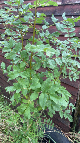
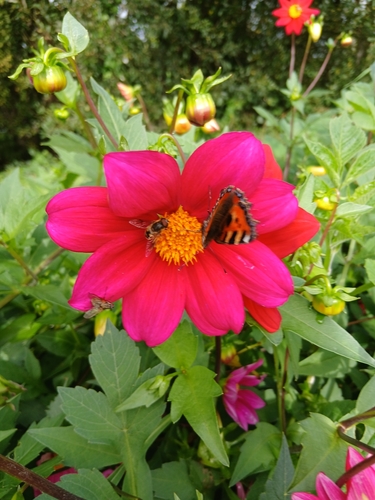
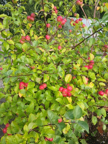
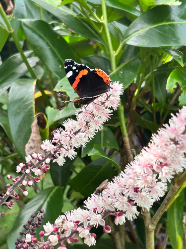
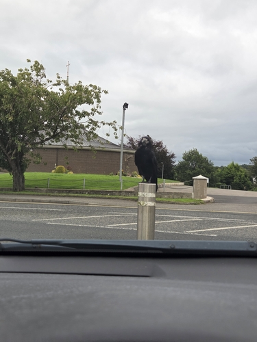
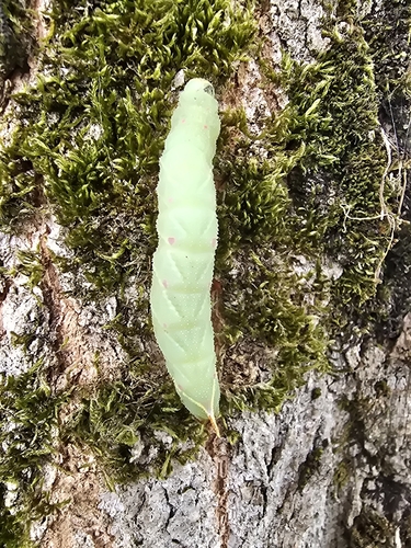
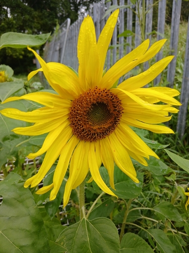
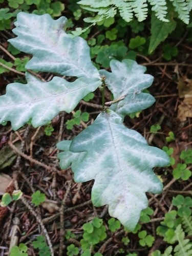
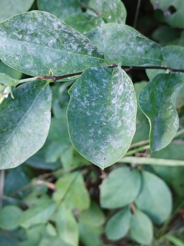
Research-grade observations from iNaturalist (within ~15 mi).
Events
Gallery
Sources
- • Wikipedia
- • USGS Earthquake Catalog (global feed)
- • GBIF (Global Biodiversity Information Facility)
- • iNaturalist
- • Open-Meteo / sunrise-sunset.org
- • Wikipedia Pageviews API
- • Open Library