Browse / United Kingdom / England / Golborne
Golborne
Englandtown

Golborne
Total population
24,169
Demographic figures from UK Office for National Statistics. Overview below cites Wikipedia and may reference a different year.
City facts
Overview
Golborne is a town in the Metropolitan Borough of Wigan, in Greater Manchester, England. It lies 5 miles (8.0 km) south-south-east of Wigan, 6 miles (9.7 km) north-east of Warrington and 14 miles (22.5 km) to the west of the city of Manchester. Along with the neighbouring village of Lowton, it recorded a population of 24,041.
Read more on WikipediaHistory & geography
History
The name Golborne derives from the Old English golde and burna, meaning "stream where marsh marigolds grow". The earliest settlements in the present-day town were on banks of the Millingford Brook, hence its name being derived from a water course where calendula grew. Golborne has been recorded in ancient documents as Goldeburn in 1187, Goldburc in 1201, Goseburn and Goldburn in 1212 and Golburne in 1242. Golborne and Gowborne were 16th-century spellings. A settlement at Golborne has existed since at least the time of the Domesday Book of 1086. The manor was held in two moieties, half by the Lords of Lowton, and the half by the Golbornes up to the reign of Henry III, and later by various families including the Fleetwoods and Leghs. The old Manor of Golborne stood to the north side of the village, giving its name to a public house on Church Street (now demolished). The manor and its lands extended as far as St Luke's Church in Lowton, and also gives its name to Manor Avenue and Manor Court. The Venerable Bede wrote in his Historia ecclesiastica gentis Anglorum of a well near Golborne sacred to St. Oswald's memory. This well had been suggested as the site where Penda, the pagan king of Mercia, slew the Christian King Oswald, later St Oswald, in the Battle of Maserfield, in 642. It is more generally accepted though that the site of that battle was some considerable distance to the southwest, near Oswestry. Holcroft Hall, now a farm, was the home of Colonel Blood who, during the reign of Charles II, attempted to steal the Crown Jewels. King Charles was amused by Blood's audacity and pardoned him. Blood married Maria Holcroft of Holcroft Hall at Newhurch Church against the will of her father. In 1648, the Battle of Red Gap was fought by the old road south from Golborne…
Excerpted from the corresponding Wikipedia article (CC BY-SA).
Geography
Coordinates & boundaries from the US Census TIGER/Line shapefiles.
Climate
Air quality
Walkability
Amenities nearby
Wildlife & biodiversity
Earthquake history
Photos
Sights & places nearby
Notable people from here
Geography & sun
Elevation, sunrise/sunset and daylight from Open-Meteo. Solar climatology from NASA POWER.
Nearby airports
Public attention
Pageview totals from the Wikimedia Pageviews API.
Books about Golborne
![[Report 1973]](https://covers.openlibrary.org/b/id/13390394-M.jpg)
![[Report 1970]](https://covers.openlibrary.org/b/id/8028007-M.jpg)
![[Report 1972]](https://covers.openlibrary.org/b/id/8028012-M.jpg)
![[Report 1969]](https://covers.openlibrary.org/b/id/8028026-M.jpg)
![[Report 1960]](https://covers.openlibrary.org/b/id/8028044-M.jpg)
![[Report 1966]](https://covers.openlibrary.org/b/id/8028349-M.jpg)
![[Report 1941]](https://covers.openlibrary.org/b/id/11794186-M.jpg)
![[Report 1967]](https://covers.openlibrary.org/b/id/8028398-M.jpg)
Search results from Open Library.
Recent natural events nearby
Ground air-quality sensors
Recently spotted species
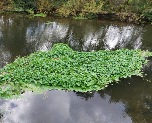
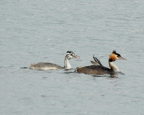
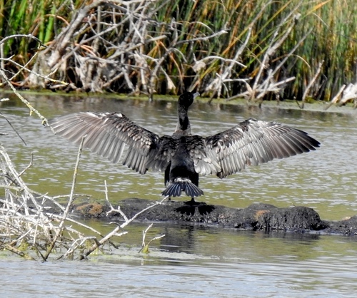
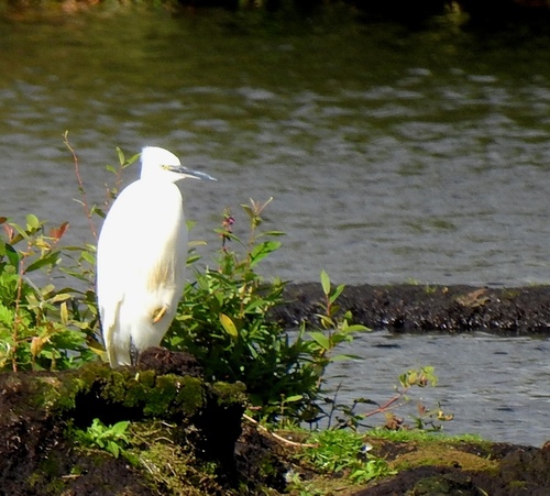
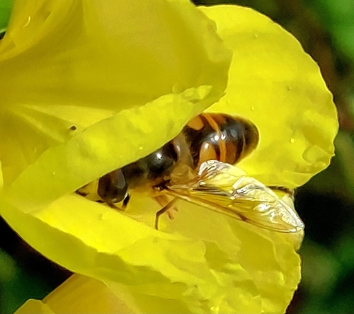
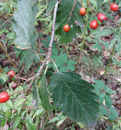
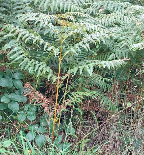
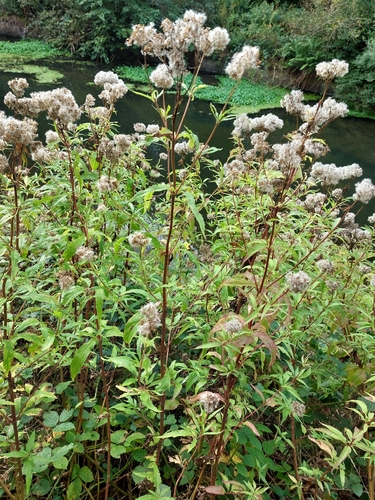

Research-grade observations from iNaturalist (within ~15 mi).
Events
Gallery
Official Identifiers
ONS — UK Office for National Statistics
- ONS code
- osgb4000000074558880
- Local type
- Town
- Region
- North West
api.postcodes.io / OS Open Names
Sources
- • Wikipedia
- • iNaturalist
- • Open-Meteo / sunrise-sunset.org
- • Wikipedia Pageviews API
- • Open Library
- • Wikidata SPARQL (CC0) — population, area, elevation, inception, head of government, Commons image
- • ONS / OS Open Names — UK official place gazetteer, via api.postcodes.io (OS code, local type, county/unitary, district/borough, region)
- • ONS — UK Office for National Statistics — api.postcodes.io / OS Open Names