Browse / United Kingdom / England / Gorleston-on-Sea
Gorleston-on-Sea
Englandtown

Gorleston-on-Sea
Demographic figures from UK Office for National Statistics. Overview below cites Wikipedia and may reference a different year.
City facts
Overview
Gorleston-on-Sea, historically and colloquially known as Gorleston, is a seaside town in the borough of Great Yarmouth in Norfolk, England. It lies to the south of Great Yarmouth, on the opposite side of the mouth of the River Yare. Historically in Suffolk, it was a port town at the time of the Domesday Book in 1086. It was incorporated into Great Yarmouth in 1836. Gorleston's port became a centre of fishing for herring along with salt pans used for the production of salt to preserve the fish. In Edwardian times the fishing industry rapidly declined and the town's role changed to that of a seaside resort.
Read more on WikipediaHistory & geography
History
The place-name 'Gorleston' is first attested in the Domesday Book of 1086, where it appears as Gorlestuna. It appears as Gurlestona in the Pipe Rolls of 1130. The first element may be related to the word 'girl', and is probably a personal name. The name could mean "girls' town or settlement", or a variant similar to Girlington in West Yorkshire. Historically, the town was in the county of Suffolk. In the Middle Ages it had two manors, and a small manor called Bacons. The medieval church of St. Andrew stands in the town and by historical association gives its name to the Gorleston Psalter, an important example of 14th-century East Anglian illuminated art that is now in the British Library in London. At the northern tip of the parish an area known as Southtown (also known as South Town or Little Yarmouth) grew as a suburb to Great Yarmouth, facing it across the Yare. Gorleston Barracks were established in 1853. There were to be three railway stations in the town on the Yarmouth-Lowestoft Line. The stations on the line were Gorleston-on-Sea, Gorleston North and Gorleston Links, which all closed between 1942 and 1970. The closest railway stations are now Lowestoft and Great Yarmouth. In the Great Storm of 1987, Gorleston-on-Sea experienced the highest wind speed recorded in the UK on that day, which was . The town is meticulously described in the novel Gorleston by Henry Sutton (Sceptre, 1995) and in Philip Leslie's novels The History of Us (Legend Press, 2009) and What Remains (December House, 2013). Both Sutton and Leslie employ the actual names of roads and retail outlets in their work. In 2018 a newly built Wetherspoons pub, The William Adams, opened on Gorleston High Street. William Adams made his first rescue at the age of 11 and went on to save some 140 lives…
Excerpted from the corresponding Wikipedia article (CC BY-SA).
Geography
Coordinates & boundaries from the US Census TIGER/Line shapefiles.
Climate
Air quality
Walkability
Amenities nearby
Wildlife & biodiversity
Earthquake history
Photos
Sights & places nearby
Notable people from here
Geography & sun
Elevation, sunrise/sunset and daylight from Open-Meteo. Solar climatology from NASA POWER.
Nearby airports
Public attention
Pageview totals from the Wikimedia Pageviews API.
Books about Gorleston-on-Sea


Search results from Open Library.
Recent natural events nearby
Ground air-quality sensors
Recently spotted species
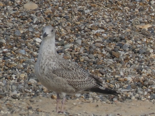
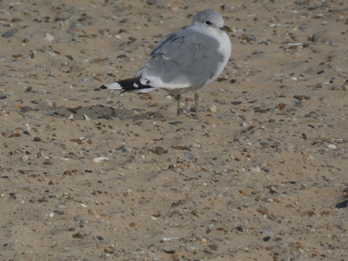
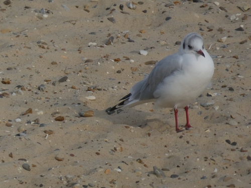
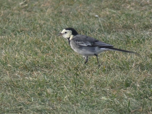
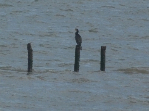
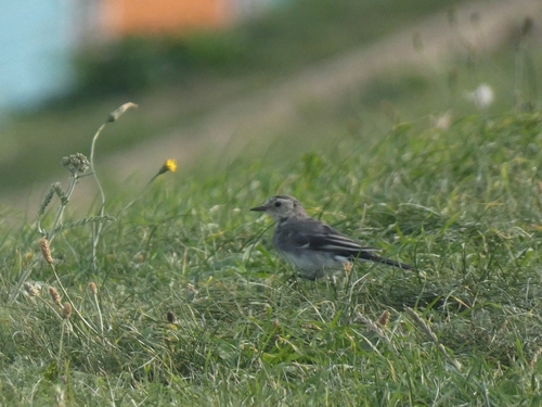
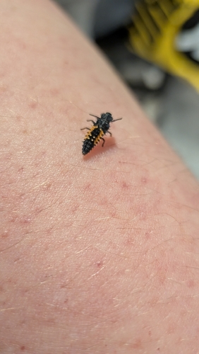
Research-grade observations from iNaturalist (within ~15 mi).
Events
Gallery
Sources
- • Wikipedia
- • iNaturalist
- • Open-Meteo / sunrise-sunset.org
- • Wikipedia Pageviews API
- • Open Library