Browse / United Kingdom / England / Gosport
Gosport
Englandtown

Gosport
Demographic figures from UK Office for National Statistics. Overview below cites Wikipedia and may reference a different year.
City facts
Sister cities
Facts from Wikidata (CC0).
Overview
Gosport is a town and non-metropolitan district with borough status in Hampshire, England. At the 2021 Census, the town had a population of 70,131 and the district had a population of 81,952. Gosport is situated on a peninsula on the western side of Portsmouth Harbour, opposite the city of Portsmouth, to which it is linked by the Gosport Ferry.
Read more on WikipediaHistory & geography
History
The Rowner area of the peninsula was settled by the Anglo-Saxons, and is mentioned in the Anglo Saxon Chronicle as Rughenor ("rough bank or slope"). Both Rowner and Alverstoke, the name coming from the point where the River Alver entered the Solent at Stokes Bay, were included in the Domesday Book. Rowner was the earliest known settlement of the peninsula, with many Mesolithic finds and a hunting camp being found, and tumuli on the peninsula investigated. Bronze Age items found in a 1960s construction in included a hoard of axe heads and torcs. A three-celled dwelling unearthed during construction of the Rowner naval Estate in the 1970s points to a settled landscape. Next to the River Alver which passes the southern and western edge of Rowner is a Norman motte and bailey, the first fortification of the peninsula, giving a vantage point over the Solent, Stokes Bay, Lee-on-the-Solent and the Isle of Wight. Gosport Town Hall, designed by W. H. Saunders and Sons, was completed in 1964. The former Rowner naval married quarters estate, now mostly demolished, and HMS Sultan were built on a former military airfield, known first as RAF Gosport and later as HMS Siskin, which gives its name to the local infant and junior schools. The barracks at Browndown (Stokes Bay) were used in the ITV series Bad Lads' Army.
Geography
The Town area of the Borough, including Newtown, consists of the High Street, Stoke Road shopping area, Walpole Park, Royal Clarence Yard and three modern marinas: Royal Clarence, Gosport Marina and Haslar Marina. South of the centre is Haslar Creek, which flows into Portsmouth Harbour near the harbour mouth. The lowest part of Haslar Creek is called Haslar Lake; at its western end, the creek splits into two branches. These are called Workhouse Lake (the northern branch) and Stoke Lake (the southern branch). South East of Stoke Lake and along Gilkicker Point is the area of Clayhall. West, Northwest and South of Stoke Lake is the district and village of Alverstoke. To the west of which is Browndown, where the River Alver flows into The Solent at Stokes Bay. Further west from Browndown point is the district of Lee-on-the-Solent with the former RNAS Daedalus which is now home to a hovercraft museum and several marine related businesses, and CEMAST College (Fareham College). It is also used as a base for glider clubs, light aeroplanes, HM Coastguard heliport and police aircraft. In the west of Gosport is the naval base HMS Sultan. West of Sultan is the district of Rowner, which includes Alver Village. There are several districts north, northwest and west of the town centre. These include areas that extend to the inland areas of the peninsula, Hardway (including Priddy's Hard and Forton Lake) Elson, Brockhurst, Bridgemary and Rowner. Hoeford (A32 Gosport Road) is the most northwesterly area within Gosport, and ends at the boundary with the Borough of Fareham. The climate of Gosport is milder than that of the surrounding areas, winter frosts being light and short-lived and snow quite rare. Temperatures rarely drop much below freezing, because the peninsula has water to…
Excerpted from the corresponding Wikipedia article (CC BY-SA).
Geography
Coordinates & boundaries from the US Census TIGER/Line shapefiles.
Climate
Air quality
Walkability
Amenities nearby
Wildlife & biodiversity
Earthquake history
Photos
Sights & places nearby
Notable people from here


People born within ~10 km, from Wikidata (CC0). Click any name for their Wikipedia article.
Geography & sun
Elevation, sunrise/sunset and daylight from Open-Meteo. Solar climatology from NASA POWER.
Nearby airports
Public attention
Pageview totals from the Wikimedia Pageviews API.
Books about Gosport
![[Report 1973]](https://covers.openlibrary.org/b/id/11793821-M.jpg)

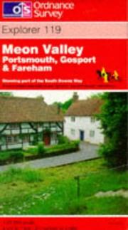
Search results from Open Library.
Recent natural events nearby
Ground air-quality sensors
Recently spotted species
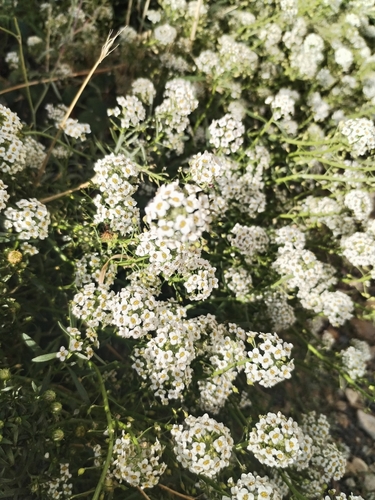
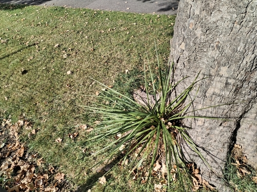

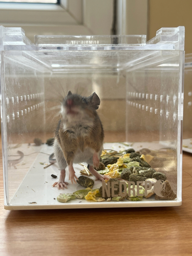
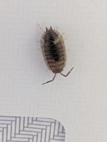
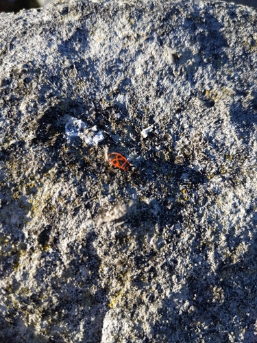
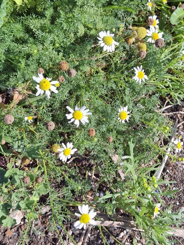
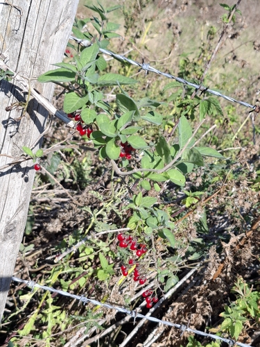
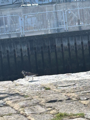
Research-grade observations from iNaturalist (within ~15 mi).
Events
Gallery
Sources
- • Wikipedia
- • Wikidata
- • iNaturalist
- • Open-Meteo / sunrise-sunset.org
- • Wikipedia Pageviews API
- • Open Library