Browse / United Kingdom / England / Great Saling
Great Saling
Englandvillage

Great Saling
Total population
311
Demographic figures from UK Office for National Statistics. Overview below cites Wikipedia and may reference a different year.
City facts
Overview
Great Saling is a village in the civil parish of The Salings, in the Braintree district of Essex, England. It lies 4 miles (6 km) north-west of the town of Braintree.
Read more on WikipediaHistory & geography
History
Great Saling was an ancient parish in the Hinckford hundred of Essex. As well as Great Saling village, the parish included surrounding rural areas including the hamlet of Blake End. The parish church is dedicated to St James, and is in the Diocese of Chelmsford. It is Grade II* listed. The village had on its green what was reputed to be the largest elm tree in England. With a girth of 22 feet 6 inches and a height of 40 metres, the elm was identified by the botanist R. H. Richens as an Ulmus × hollandica hybrid, before it succumbed to Dutch Elm Disease in the 1970s. RAF Andrews Field, sometimes called RAF Great Saling, was built near the village by the United States Army Air Forces as the first aerodrome to be built by the Americans on British soil during the Second World War. Work on the aerodrome was started in July 1942. It was named after Frank Maxwell Andrews, an American general who was killed in May 1943, shortly before the aerodrome opened. In 2019 the parish was merged with the neighbouring parish of Bardfield Saling to form a new civil parish called The Salings. At the 2011 census (the last before the abolition of the civil parish), Great Saling had a population of 282.
Excerpted from the corresponding Wikipedia article (CC BY-SA).
Geography
Coordinates & boundaries from the US Census TIGER/Line shapefiles.
Climate
Air quality
Walkability
Amenities nearby
Wildlife & biodiversity
Earthquake history
Photos
Sights & places nearby
Notable people from here
Geography & sun
Elevation, sunrise/sunset and daylight from Open-Meteo. Solar climatology from NASA POWER.
Nearby airports
Public attention
Pageview totals from the Wikimedia Pageviews API.
Books about Great Saling



Search results from Open Library.
Recent natural events nearby
Ground air-quality sensors
Recently spotted species
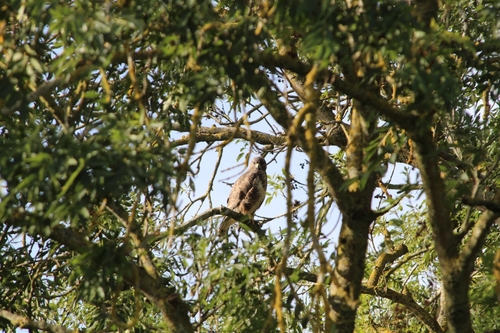
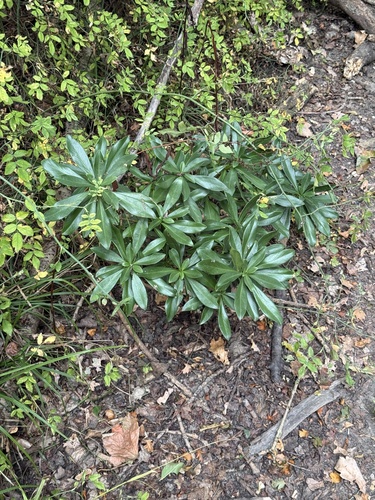
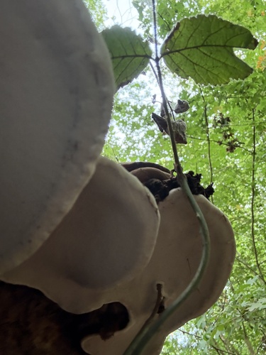
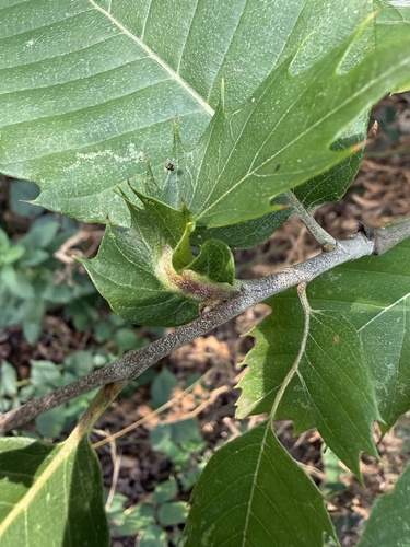
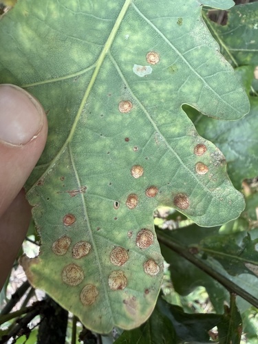
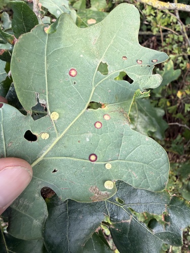
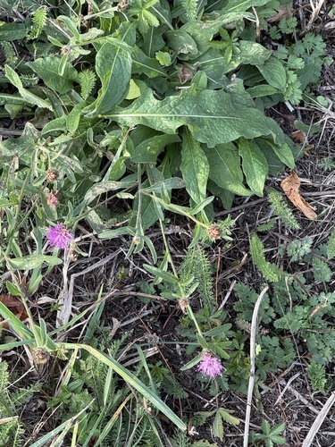
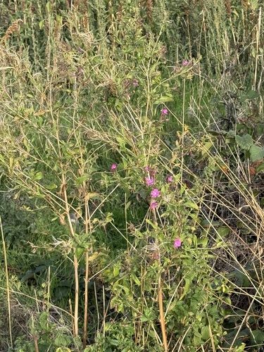
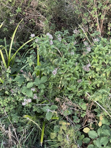
Research-grade observations from iNaturalist (within ~15 mi).
Events
Gallery
Official Identifiers
ONS — UK Office for National Statistics
- ONS code
- osgb4000000074557363
- Local type
- Village
- Region
- Eastern
api.postcodes.io / OS Open Names
Sources
- • Wikipedia
- • iNaturalist
- • Open-Meteo / sunrise-sunset.org
- • Wikipedia Pageviews API
- • Open Library
- • ONS / OS Open Names — UK official place gazetteer, via api.postcodes.io (OS code, local type, county/unitary, district/borough, region)
- • ONS — UK Office for National Statistics — api.postcodes.io / OS Open Names