Browse / United Kingdom / Scotland / Greenock
Greenock
Scotlandtown

Greenock
Total population
42,800
Demographic figures from UK Office for National Statistics. Overview below cites Wikipedia and may reference a different year.
City facts
Overview
Greenock is a town in Inverclyde, Scotland, located in the west central Lowlands of Scotland. The town is the administrative centre of Inverclyde Council. It is a former burgh within the historic county of Renfrewshire, and forms part of a contiguous urban area with Gourock to the west and Port Glasgow to the east.
Read more on WikipediaHistory & geography
History
Place-name scholar William J. Watson wrote that "Greenock is well known in Gaelic as , dative of , 'a sunny knoll. The Scottish Gaelic place-name is relatively common, with another Greenock near Callander in Menteith (formerly in Perthshire) and yet another at Muirkirk in Kyle, now in East Ayrshire. R. M. Smith in (1921) described the alternative derivation from Common Brittonic *, 'gravelly or sandy place', as more appropriate, accurately describing the original foreshore. Johnston (1934) notes that "some Gaels call the seaport , and that a possible derivation may be , meaning 'rough, gravelly'. The name of the town has had various spellings over time. It was printed in early Acts of Parliament as Grinok, Greenhok, Grinock, Greenhoke, Greinnock, and later as Greinok. Old Presbyterial records used Grenok, a common spelling until it was changed to Greenock around 1700. Grenock was also used in the 19th century, e.g. in Lloyd's List publications. The spelling Greenoak was found in two factory accounts dating back to 1717, and a legend developed of a green oak tree at the edge of the Clyde at William Street being used by fishermen to tie up their boats. No reliable source has been found referencing green oaks, however, and so this has been generally dismissed as imaginative Anglophone folk etymology. Nonetheless the image has frequently been used as an emblem or logo, carved on public buildings, used on banners and badges, and was once emblazoned on the local Co-operative Society emblem. It reappeared in 1992 as the new shopping centre's name, the Oak Mall, which uses a green tree as its logo. The name is also recalled in a local song ("The Green Oak Tree"). Significantly, no green oak appears on the former burgh coat of arms, which features the three chalices of the…
Excerpted from the corresponding Wikipedia article (CC BY-SA).
Geography
Coordinates & boundaries from the US Census TIGER/Line shapefiles.
Climate
Air quality
Walkability
Amenities nearby
Wildlife & biodiversity
Earthquake history
Photos
Sights & places nearby
Notable people from here


People born within ~10 km, from Wikidata (CC0). Click any name for their Wikipedia article.
Geography & sun
Elevation, sunrise/sunset and daylight from Open-Meteo. Solar climatology from NASA POWER.
Nearby airports
Public attention
Pageview totals from the Wikimedia Pageviews API.
Books about Greenock

![[Report 1932]](https://covers.openlibrary.org/b/id/7973134-M.jpg)
![[Report 1971]](https://covers.openlibrary.org/b/id/7923318-M.jpg)
![[Report 1959]](https://covers.openlibrary.org/b/id/7933924-M.jpg)
![[Report 1965]](https://covers.openlibrary.org/b/id/7979953-M.jpg)
![[Report 1968]](https://covers.openlibrary.org/b/id/7942902-M.jpg)
![[Report 1953]](https://covers.openlibrary.org/b/id/7943100-M.jpg)
![[Report 1949]](https://covers.openlibrary.org/b/id/7943278-M.jpg)
Search results from Open Library.
Recent natural events nearby
Ground air-quality sensors
Recently spotted species
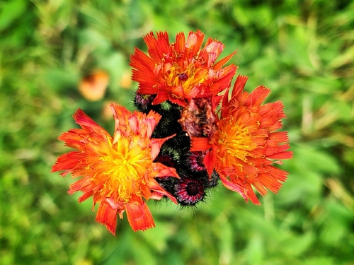
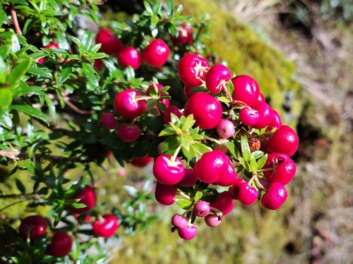
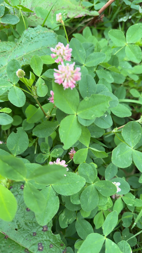
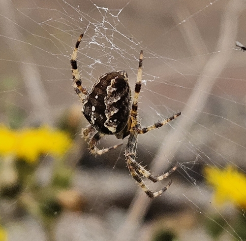
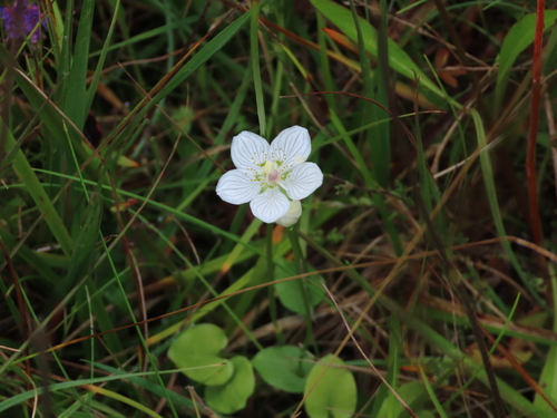
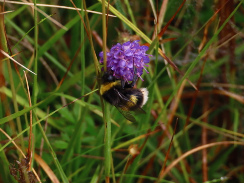
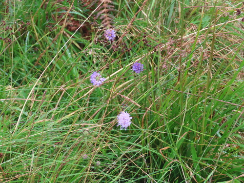
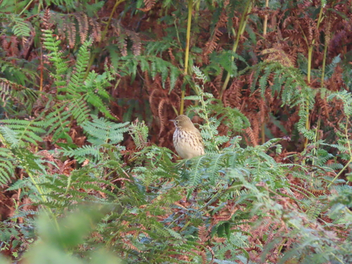
Research-grade observations from iNaturalist (within ~15 mi).
Events
Notable, recurring, and historical events associated with Greenock, sourced from Wikidata.
Source: Wikidata (CC0).
Gallery
Official Identifiers
ONS — UK Office for National Statistics
- ONS code
- osgb4000000074549982
- Local type
- Town
- Region
- Scotland
api.postcodes.io / OS Open Names
Sources
- • Wikipedia
- • Wikidata
- • iNaturalist
- • Open-Meteo / sunrise-sunset.org
- • Wikipedia Pageviews API
- • Open Library
- • Wikidata SPARQL (CC0) — population, area, elevation, inception, head of government, Commons image
- • ONS / OS Open Names — UK official place gazetteer, via api.postcodes.io (OS code, local type, county/unitary, district/borough, region)
- • ONS — UK Office for National Statistics — api.postcodes.io / OS Open Names