Browse / United Kingdom / England / Grimsby
Grimsby
Englandtown

Grimsby
Total population
88,243
Demographic figures from UK Office for National Statistics. Overview below cites Wikipedia and may reference a different year.
City facts
Sister cities
Facts from Wikidata (CC0).
Overview
Grimsby or Great Grimsby is a port town in Lincolnshire, England with a population of 86,138. It is located near the mouth on the south bank of the Humber that flows to the North Sea. Grimsby adjoins the town of Cleethorpes directly to the south-east, forming a conurbation. It is the administrative centre of the borough of North East Lincolnshire, which alongside North Lincolnshire is officially part of the Yorkshire and the Humber region. Grimsby is 45 mi (72 km) north-east of Lincoln, 33 mi (53 km) south-east of Hull, and 50 mi (80 km) east of Doncaster.
Read more on WikipediaHistory & geography
History
There is archaeological evidence of a small town of Roman workers in the area in the 2nd century AD during Roman occupation. Located on The Haven, which flowed into the Humber, the site long provided a location for ships to shelter from approaching storms. It was well placed to exploit the rich fishing grounds in the North Sea. Sometime in the 9th century AD, Grimsby was settled by Danes. Local folklore claims that the name Grimsby derives from Grim, a Danish (as an old term closer to "Viking") fisherman. The common toponymic suffix -by is derived from the Old Norse word for village (compare with , and ). The legendary founding of Grimsby features in a medieval romance, the Lay of Havelock the Dane, but historians see this account as a myth. In Norse mythology, Grim (Mask) and Grimnir (Masked One) are names adopted by the deity Oðin (Anglo-Saxon Woðen) when travelling incognito amongst mortals, as in the short poem known as "Grimnir's Sayings" (Grimnismal) in the Poetic Edda. The intended audience of the Havelock tale, recorded much later as the Lay of Havelock the Dane, may have taken the fisherman Grim to be Odin in disguise. The Oðinic name "Grimr/Grim" occurs in many English place names in the historical Danelaw and elsewhere in Britain. Examples are numerous earthworks named Grimsdyke. Other British place names with the element Grim are explained as referring to Woðen/Oðin (e.g. Grimsbury, Grimspound, Grime's Graves, Grimsditch, Grimsworne), and Grimsby is likely to have the same derivation. Grimsby is listed in the Domesday Book of 1086 as having a population of around 200, a priest, a mill, and a ferry. In the 12th century, Grimsby grew into a fishing and trading port, at one time ranking twelfth in importance to the Crown for tax revenue. The town gained…
Geography
The town was named "Great Grimsby" to distinguish it from Little Grimsby, a village about to the south, near Louth. It had a population of 88,243 in the 2011 census and an estimated population of 88,323 in 2019. It forms a conurbation with Cleethorpes and the villages of Humberston, Scartho, Brigsley and Waltham. The 2011 population of the conurbation was 134,160, making it the largest built-up area in Lincolnshire.
Excerpted from the corresponding Wikipedia article (CC BY-SA).
Geography
Coordinates & boundaries from the US Census TIGER/Line shapefiles.
Climate
Air quality
Walkability
Amenities nearby
Wildlife & biodiversity
Most-observed species
- Common Wood-PigeonColumba palumbus Linnaeus, 1758 · Aves9,882
- Carrion CrowCorvus corone Linnaeus, 1758 · Aves8,210
- Eurasian MagpiePica pica (Linnaeus, 1758) · Aves8,077
- Eurasian BlackbirdTurdus merula Linnaeus, 1758 · Aves7,590
- European StarlingSturnus vulgaris Linnaeus, 1758 · Aves7,294
- European RobinErithacus rubecula (Linnaeus, 1758) · Aves7,200
- European GoldfinchCarduelis carduelis (Linnaeus, 1758) · Aves6,943
- Herring GullLarus argentatus Pontoppidan, 1763 · Aves6,891
Citizen-science & research observations from the Global Biodiversity Information Facility (GBIF).
Earthquake history
Most recent
- M 4.1 — 2018-06-097 km NNE of Withernsea, United Kingdom
- M 2.6 — 2014-10-282 km NNE of Hucknall, United Kingdom
- M 3 — 2009-04-115 km ENE of Goxhill, United Kingdom
- M 3.1 — 2008-04-053 km SSE of Middle Rasen, United Kingdom
- M 4.8 — 2008-02-271 km NNE of Market Rasen, United Kingdom
- M 3.6 — 2006-12-3058 km E of Easington, United Kingdom
Events from the USGS Earthquake Catalog (global) (FDSN Event Web Service).
Photos
Sights & places nearby
Notable people from here


People born within ~10 km, from Wikidata (CC0). Click any name for their Wikipedia article.
Nearby places in England
Geography & sun
Elevation, sunrise/sunset and daylight from Open-Meteo. Solar climatology from NASA POWER.
Nearby airports
Public attention
Pageview totals from the Wikimedia Pageviews API.
Books about Grimsby


![[Report 1909]](https://covers.openlibrary.org/b/id/11793832-M.jpg)
![[Report 1946]](https://covers.openlibrary.org/b/id/11793836-M.jpg)
![[Report 1947]](https://covers.openlibrary.org/b/id/11793837-M.jpg)
Search results from Open Library.
Recent natural events nearby
Ground air-quality sensors
Recently spotted species
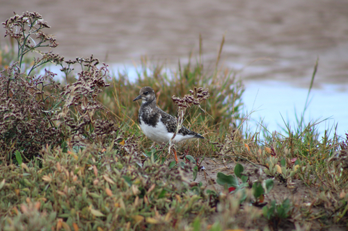
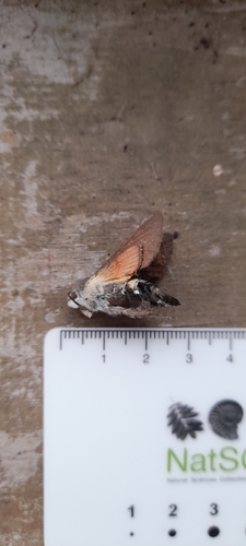
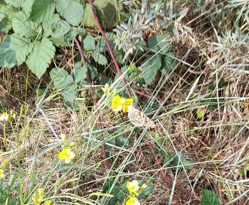
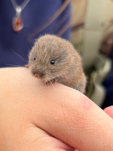
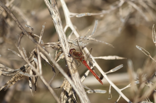
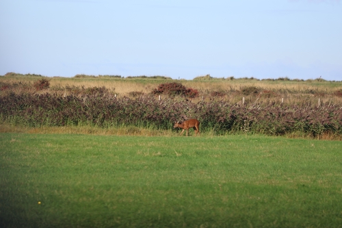
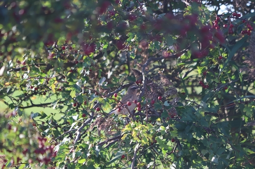
Research-grade observations from iNaturalist (within ~15 mi).
Events
Gallery
Official Identifiers
ONS — UK Office for National Statistics
- ONS code
- osgb4000000074571038
- Local type
- Town
- Region
- Yorkshire and the Humber
api.postcodes.io / OS Open Names
Sources
- • Wikipedia
- • Wikidata
- • USGS Earthquake Catalog (global feed)
- • GBIF (Global Biodiversity Information Facility)
- • iNaturalist
- • Open-Meteo / sunrise-sunset.org
- • Wikipedia Pageviews API
- • Open Library
- • Wikidata SPARQL (CC0) — population, area, elevation, inception, head of government, Commons image
- • ONS / OS Open Names — UK official place gazetteer, via api.postcodes.io (OS code, local type, county/unitary, district/borough, region)
- • ONS — UK Office for National Statistics — api.postcodes.io / OS Open Names