Browse / United Kingdom / England / Hadfield
Hadfield
Englandtown

Hadfield
Demographic figures from UK Office for National Statistics. Overview below cites Wikipedia and may reference a different year.
City facts
Overview
Hadfield is a town in the High Peak of Derbyshire, England; it had a population of 6,763 at the 2021 Census. It lies on the south side of the River Etherow, near to the border with Greater Manchester, at the western edge of the Peak District and close to Glossop. Hadfield doubled as the fictional town of Royston Vasey in the BBC comedy series The League of Gentlemen.
Read more on WikipediaHistory & geography
History
Hadfield was part of the Manor of Glossop and, at the time of the Domesday Book in 1086, belonged to William the Conqueror. King Henry I granted the land to William Peveril. In 1157, King Henry II gave it to the Abbey of Basingwerk in North Wales. In 1537, King Henry VIII gave it to the Earl of Shrewsbury, from whom it came to the Howard family (Dukes of Norfolk). While the Howards were responsible in the 1810s for the development of Glossop, it was the Sidebottom family who developed Hadfield; they bought the Waterside and Bridge Mill complex from John Turner and John Thornley in 1820. For three generations, they developed these mills as a large spinning and weaving combine. They built their own branch railway to the mill and, in 1880, ran 293,000 spindles and 4,800 looms. In 1896, the Sidebottoms went into liquidation. Bridge Mill was destroyed by fire in 1899, but Waterside Mill was bought by John Gartside and Co of Ashton-under-Lyne. Gartside's re-equipped the mills with automatic looms from the United States and installed new engines and electric lighting. During the First World War, the mill was taken over by the Greenfield Mill Company but parts of the mill were used to produce munitions. After the war, the company declined. In 1940, the mill was occupied by Maconochie's Foodstuffs Ltd, which had been bombed out of its previous premises in London. By 1954, about half of the original building had been demolished and more was to go. In 1976, the site was redeveloped and renamed as the Hadfield Trading Estate. Station Mill was built in 1834 by Thomas and Edward Platt, members of a family who had farmed Longdendale for generations. The family owned this cotton mill for 68 years, before selling it to E. Wilman & Sons in 1923, which converted it to silk noil…
Geography
Hadfield is in the north-west of Derbyshire, between Bottoms Reservoir and the Glossop Brook, on the southern side of the River Etherow valley, which is known as Longdendale. The town lies between above sea level; it is from Manchester.
Excerpted from the corresponding Wikipedia article (CC BY-SA).
Geography
Coordinates & boundaries from the US Census TIGER/Line shapefiles.
Climate
Air quality
Walkability
Amenities nearby
Wildlife & biodiversity
Earthquake history
Photos
Sights & places nearby
Notable people from here


People born within ~10 km, from Wikidata (CC0). Click any name for their Wikipedia article.
Geography & sun
Elevation, sunrise/sunset and daylight from Open-Meteo. Solar climatology from NASA POWER.
Nearby airports
Public attention
Pageview totals from the Wikimedia Pageviews API.
Books about Hadfield




Search results from Open Library.
Recent natural events nearby
Ground air-quality sensors
Recently spotted species
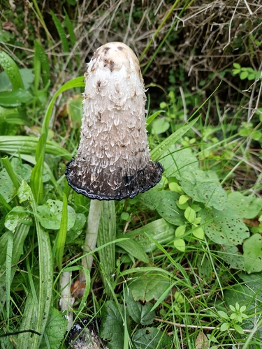

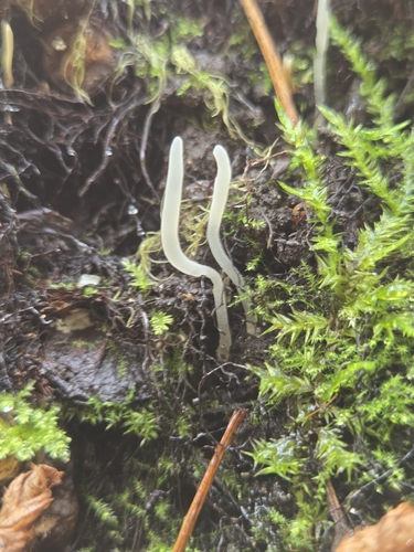
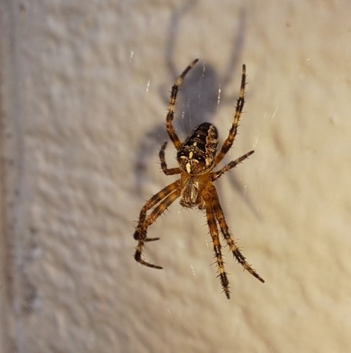

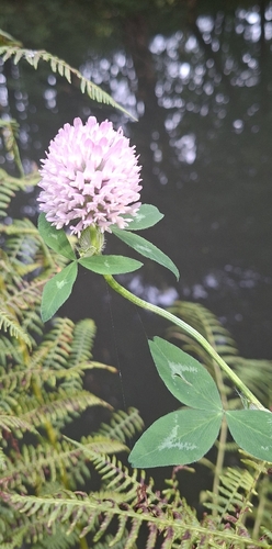


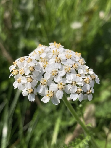
Research-grade observations from iNaturalist (within ~15 mi).
Events
Gallery
Official Identifiers
ONS — UK Office for National Statistics
- ONS code
- osgb4000000074813565
- Local type
- Village
- Region
- East Midlands
api.postcodes.io / OS Open Names
Sources
- • Wikipedia
- • Wikidata
- • iNaturalist
- • Open-Meteo / sunrise-sunset.org
- • Wikipedia Pageviews API
- • Open Library
- • ONS / OS Open Names — UK official place gazetteer, via api.postcodes.io (OS code, local type, county/unitary, district/borough, region)
- • ONS — UK Office for National Statistics — api.postcodes.io / OS Open Names