Browse / United Kingdom / England / Haverhill
Haverhill
Englandtown

Haverhill
Total population
27,041
Demographic figures from UK Office for National Statistics. Overview below cites Wikipedia and may reference a different year.
City facts
Facts from Wikidata (CC0).
Overview
Haverhill is a market town and civil parish in the West Suffolk district, in the county of Suffolk, England, next to the borders of Essex and Cambridgeshire. It lies about 14 miles (23 km) southeast of Cambridge and 47 miles (76 km) northeast of central London. In 2022 it had a population of 27,500.
Read more on WikipediaHistory & geography
History
The name Haverhill probably derives from the Old English hæferahyll meaning 'oat hill'. Another theory is that it could derive from hæferhyll meaning 'goat hill'. Haverhill dates back to at least Anglo-Saxon times, and the town's market is recorded in the Domesday Book (1086). Whilst most of its historical buildings were lost to the great fire on 14 June 1667, Following a planning review in 1956, Haverhill was targeted for expansion. This was primarily to resettle communities from London which had been devastated during the Second World War. As part of this plan, new housing settlements and new factories were built. A later review in 1962 planned for a threefold increase in population from the then population of 5,446. Nowadays, Haverhill is predominantly a modern and young town. The relatively small town centre is surrounded by many large housing developments, completed at various periods between the 1950s and the present. In 1894 Haverhill became an urban district which became part of the administrative county of West Suffolk in 1889, the district contained the parish of Haverhill. On 1 April 1974 the district and parish were abolished and became part of St Edmundsbury district in the non-metropolitan county of Suffolk. No successor parish was formed so it became unparished. On 1 April 1989 Haverhill was parished. In 2019 Haverhill became part of West Suffolk district. Haverhill Police Station was built in 1976 and the town also formerly had a Magistrates Court. Haverhill Police is part of the Western Area command unit of Suffolk Constabulary.
Geography
The town centre lies at the base of a gentle dip in the chalk hills of the Newmarket Ridge; running through the town is Stour Brook, which goes on to join the River Stour just outside the town. Rapid expansion of the town over the last two decades means that the western edge of Haverhill now includes the hamlet of Hanchet End. The surrounding countryside largely consists of arable land.
Excerpted from the corresponding Wikipedia article (CC BY-SA).
Geography
Coordinates & boundaries from the US Census TIGER/Line shapefiles.
Climate
Air quality
Walkability
Amenities nearby
Wildlife & biodiversity
Earthquake history
Photos
Sights & places nearby
Notable people from here


People born within ~10 km, from Wikidata (CC0). Click any name for their Wikipedia article.
Geography & sun
Nearby airports
Public attention
Books about this place
Recent natural events nearby
Ground air-quality sensors
Recently spotted species

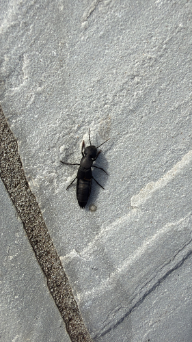

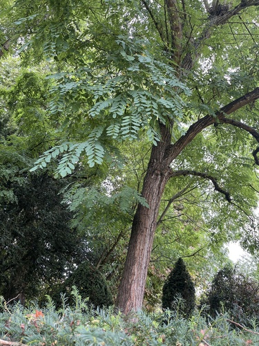
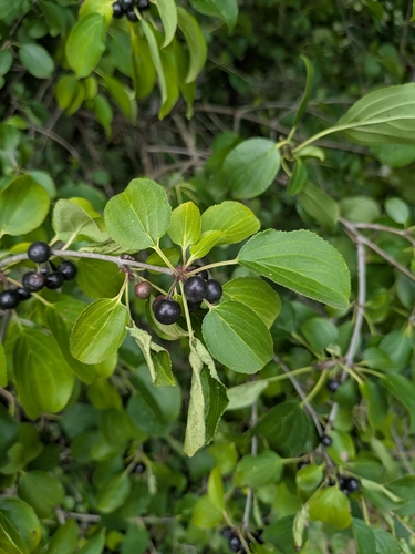
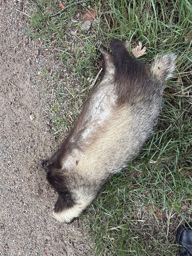
Research-grade observations from iNaturalist (within ~15 mi).
Events
Gallery
Official Identifiers
ONS — UK Office for National Statistics
- ONS code
- osgb4000000074559285
- Local type
- Town
- Region
- Eastern
api.postcodes.io / OS Open Names
Sources
- • Wikipedia
- • Wikidata
- • iNaturalist
- • Wikidata SPARQL (CC0) — population, area, elevation, inception, head of government, Commons image
- • ONS / OS Open Names — UK official place gazetteer, via api.postcodes.io (OS code, local type, county/unitary, district/borough, region)
- • ONS — UK Office for National Statistics — api.postcodes.io / OS Open Names