Browse / United Kingdom / Scotland / Hawick
Hawick
Scotlandtown

Hawick
Total population
13,730
Demographic figures from UK Office for National Statistics. Overview below cites Wikipedia and may reference a different year.
City facts
Facts from Wikidata (CC0).
Overview
Hawick is a market town in the Scottish Borders council area and historic county of Roxburghshire in the east Southern Uplands of Scotland. It is 10 miles (16.1 km) south-west of Jedburgh and 8.9 miles (14.3 km) south-south-east of Selkirk. It is one of the furthest towns from the sea in Scotland, in the heart of Teviotdale, and is the biggest town in Roxburghshire. The town is at the confluence of the Slitrig Water with the River Teviot. It had a population of 13,512 in 2022.
Read more on WikipediaHistory & geography
History
The name Hawick is Old English in origin, first recorded in 1167 and translates as "enclosed farm" or "enclosed hamlet". The origin of the name of Hawick was first researched in the 1860s by James Murray, a local teacher and later the primary editor of the Oxford English Dictionary. The west end of the town contains "the Motte", the remains of a likely 12th century Scoto-Norman motte-and-bailey castle. On 20 June 1342, as Alexander Ramsay of Dalhousie according to the duty of his office as Sheriff of Teviotsdale was holding court in the church of Hawick, William Douglas, Lord of Liddesdale came with an armed retinue and entered the church. He was courteously welcomed. Douglas and his men attacked Ramsay and dragged him bleeding and in chains to Hermitage Castle; It is generally assumed because Douglas believed he should be Sheriff of Teviotdale. There Ramsay was imprisoned in a dungeon where he died of starvation. The origin of Hawick being formally declared a town are said to originate with the Battle of Hornshole which was fought in 1514 between an English raiding party and young locals from Hawick. In 2014, on the 500th anniversary of the battle, some 1,800 children dressed in period costumes re-enacted the battle. {{ Historical populations |title=Population |type=Hawick |1971|17,251 |1991|15,704 |2001|14,573 |2011|14,294 |2016|13,730 |2020|13,610 |2021|13,586 |2022|13,512 |source = The church was extensively damaged by fire in the late 19th century but was reconstructed in a similar style. The first knitting machines were brought to Hawick in 1771 by John Hardie, building on an existing carpet manufacturing trade and with a view to expanding into the production of stockings. The town subsequently focused on the manufacturer of different textiles, hosiery and…
Excerpted from the corresponding Wikipedia article (CC BY-SA).
Geography
Coordinates & boundaries from the US Census TIGER/Line shapefiles.
Climate
Air quality
Walkability
Amenities nearby
Wildlife & biodiversity
Earthquake history
Photos
Sights & places nearby
Notable people from here


People born within ~10 km, from Wikidata (CC0). Click any name for their Wikipedia article.
Geography & sun
Elevation, sunrise/sunset and daylight from Open-Meteo. Solar climatology from NASA POWER.
Nearby airports
Public attention
Pageview totals from the Wikimedia Pageviews API.
Books about Hawick
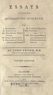

Search results from Open Library.
Recent natural events nearby
Ground air-quality sensors
Recently spotted species
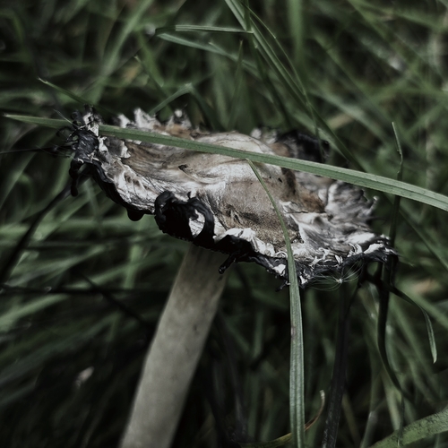
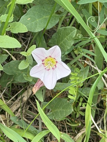
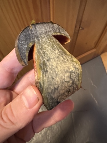
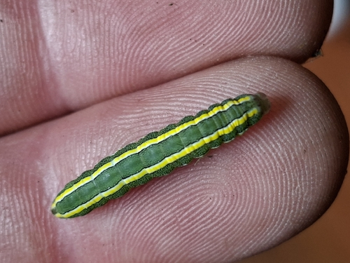
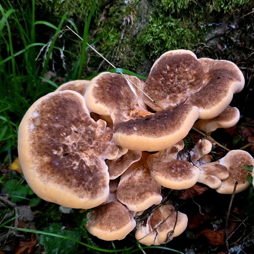
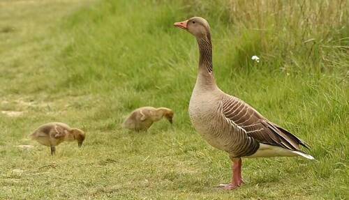
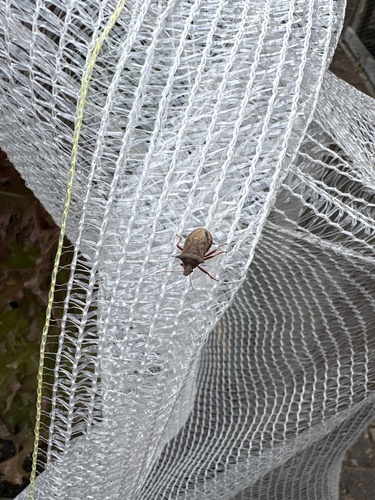
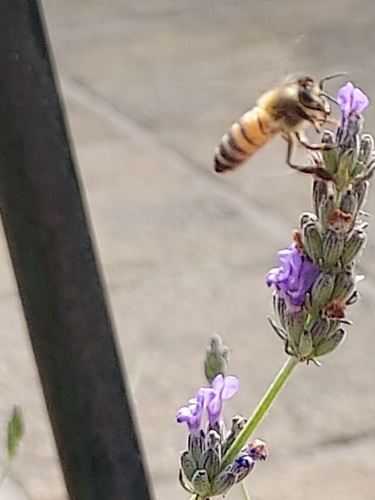
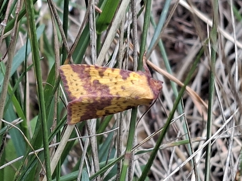
Research-grade observations from iNaturalist (within ~15 mi).
Events
Gallery
Official Identifiers
ONS — UK Office for National Statistics
- ONS code
- osgb4000000074557169
- Local type
- Town
- Region
- Scotland
api.postcodes.io / OS Open Names
Sources
- • Wikipedia
- • Wikidata
- • iNaturalist
- • Open-Meteo / sunrise-sunset.org
- • Wikipedia Pageviews API
- • Open Library
- • Wikidata SPARQL (CC0) — population, area, elevation, inception, head of government, Commons image
- • ONS / OS Open Names — UK official place gazetteer, via api.postcodes.io (OS code, local type, county/unitary, district/borough, region)
- • ONS — UK Office for National Statistics — api.postcodes.io / OS Open Names