Browse / United Kingdom / England / Heacham
Heacham
Englandvillage

Heacham
Total population
4,750
Demographic figures from UK Office for National Statistics. Overview below cites Wikipedia and may reference a different year.
City facts
Facts from Wikidata (CC0).
Overview
Heacham is a large village in West Norfolk, England, overlooking The Wash. It lies between King's Lynn, 14 miles (23 km) to the south, and Hunstanton, about 3 miles (4.8 km) to the north. It has been a seaside resort for over a century and a half.
Read more on WikipediaHistory & geography
History
There is evidence of settlement in the Heacham area over the last 5,000 years, with numerous Neolithic and later Bronze Age finds within the parish. This is presumably because the local geology consists of primarily cretaceous sands and underlying chalk, meaning that there is very little surface water for miles in any direction. This can also be seen along the banks of the Caudle Carr outside Dersingham, where numerous archaeological finds have been made. Running water along with fertile surrounding lands made Heacham an ideal place for settlement by early man. Evidence of habitation continues through the Iron Age into the Romano-British era. However, the present village probably did not appear until the 5th century, with the Anglo-Saxon invasion and the beginnings of present-day East Anglia. The name of the village is said to derive from a 12th-century Norman lord, Geoffrey de Hecham. This is possible, but unlikely, as the name "de Hecham" literally means "of Hecham", implying that the place name already existed. The name Hecham was noted in the Little Domesday Book, written around 1086 as part of the Smithdon hundred (Smetheduna). Before the Norman Conquest, Heacham was held by two Saxons, Alnoth, and Toki the king's thegn, whose estates centred around a hall in Castle Acre. After the Norman Conquest, the lands passed to William de Warenne and his brother-in-law Frederick de Warenne, who was later killed by Hereward the Wake. The name Heacham is more likely to derive from the local river, the Hitch, in conjunction with the Old English place-word "ham", which meant either "homestead, village, manor, estate" or "enclosure, land hemmed by water or marsh or higher ground, land in a river bend, river meadow, promontory". In 1085 Heacham manor was given by William de…
Excerpted from the corresponding Wikipedia article (CC BY-SA).
Geography
Coordinates & boundaries from the US Census TIGER/Line shapefiles.
Climate
Air quality
Walkability
Amenities nearby
Wildlife & biodiversity
Earthquake history
Photos
Sights & places nearby
Notable people from here


People born within ~10 km, from Wikidata (CC0). Click any name for their Wikipedia article.
Nearby places in England
Geography & sun
Elevation, sunrise/sunset and daylight from Open-Meteo. Solar climatology from NASA POWER.
Nearby airports
Public attention
Pageview totals from the Wikimedia Pageviews API.
Books about Heacham
Search results from Open Library.
Recent natural events nearby
Ground air-quality sensors
Recently spotted species
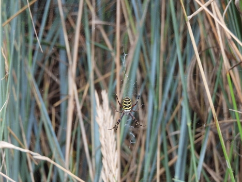
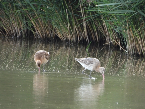
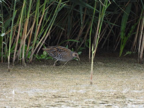
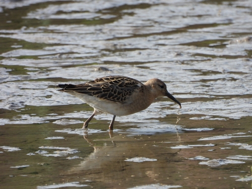
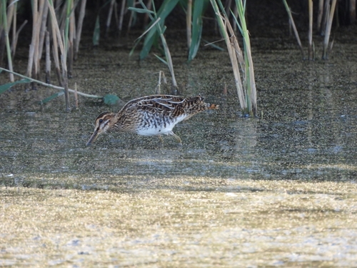
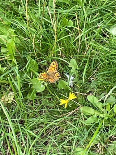
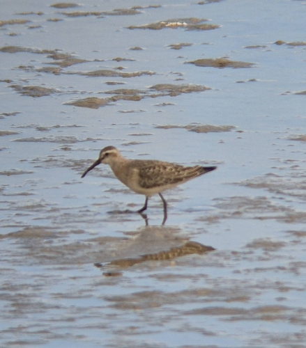
Research-grade observations from iNaturalist (within ~15 mi).
Events
Gallery
Official Identifiers
ONS — UK Office for National Statistics
- ONS code
- osgb4000000074550222
- Local type
- Village
- Region
- Eastern
api.postcodes.io / OS Open Names
Sources
- • Wikipedia
- • Wikidata
- • iNaturalist
- • Open-Meteo / sunrise-sunset.org
- • Wikipedia Pageviews API
- • Open Library
- • ONS / OS Open Names — UK official place gazetteer, via api.postcodes.io (OS code, local type, county/unitary, district/borough, region)
- • ONS — UK Office for National Statistics — api.postcodes.io / OS Open Names