Browse / United Kingdom / England / Heathfield
Heathfield
Englandtown

Heathfield
Demographic figures from UK Office for National Statistics. Overview below cites Wikipedia and may reference a different year.
City facts
Facts from Wikidata (CC0).
Overview
Heathfield is a market town and former civil parish, now in the parish of Heathfield and Waldron, in the Wealden District of East Sussex, England. The town had a population of 7,667 in 2021. Locals know it by "Heffle".
Read more on WikipediaHistory & geography
History
Historically, Heathfield lay on an ancient trackway connecting the South Downs with the Weald. The Manor of Heathfield lies in the parish of the same name. The earliest known record for the manor is a market grant given to Ralph, Bishop of Chichester by Henry III in 1234. The rights to a fair were granted in February 1316 during the reign of Edward II to John, Bishop of Chichester. In 1559, the Government of Elizabeth I passed the Act of Exchange, seizing the possessions of the Bishops of Chichester in return for other payments. Heathfield was one of 73 manors taken by the Crown, which was subsequently granted to Thomas Sackville, the Earl of Dorset. The Manor remained in possession of the Sackville family until the death of the last Duke of Dorset, when it was acquired by the family of the Lords De La Warr through Elizabeth Sackville, Countess of De La Warr, whom married George Sackville-West, the 5th Earl De La Warr. The Manor left the possession of the De La Warr estate in the 1980s. The current Lord of Heathfield is Christopher Repetsky, a physician. The Wealden iron brought prosperity to the town during the 16th and the 17th centuries. The coming of the railway (the Cuckoo Line) in 1880 gave it another new lease of life. The latter was not a financial success, and the branch line between Eridge and Polegate closed in 1968. The trackbed is now named the Cuckoo Trail, part of the National Cycle Network. The original village, Old Heathfield, is now only part of the town, which has expanded over time. In 1961 the parish had a population of 3244. On 1 April 1990 the parish was abolished and merged with Waldron to form "Heathfield and Waldron".
Excerpted from the corresponding Wikipedia article (CC BY-SA).
Geography
Coordinates & boundaries from the US Census TIGER/Line shapefiles.
Climate
Air quality
Walkability
Amenities nearby
Wildlife & biodiversity
Earthquake history
Photos
Sights & places nearby
Notable people from here
Nearby places in England
Geography & sun
Elevation, sunrise/sunset and daylight from Open-Meteo. Solar climatology from NASA POWER.
Nearby airports
Public attention
Pageview totals from the Wikimedia Pageviews API.
Books about Heathfield

Search results from Open Library.
Recent natural events nearby
Ground air-quality sensors
Recently spotted species
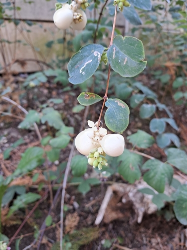
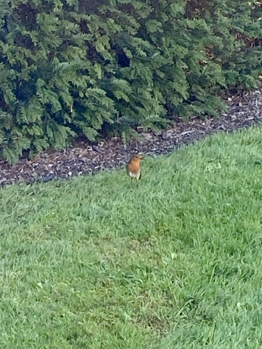
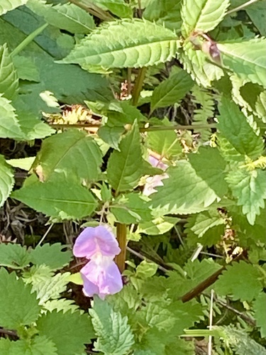
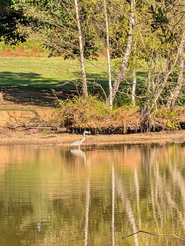
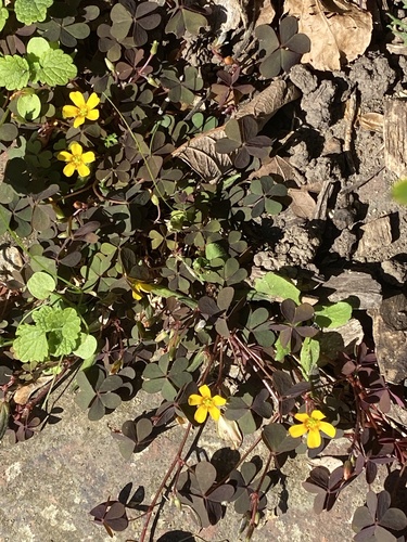



Research-grade observations from iNaturalist (within ~15 mi).
Events
Gallery
Official Identifiers
ONS — UK Office for National Statistics
- ONS code
- E05000523
- Wikidata
- Q56296052
api.postcodes.io / OS Open Names
Sources
- • Wikipedia
- • Wikidata
- • iNaturalist
- • Open-Meteo / sunrise-sunset.org
- • Wikipedia Pageviews API
- • Open Library
- • ONS / OS Open Names — UK official place gazetteer, via api.postcodes.io (OS code, local type, county/unitary, district/borough, region)
- • ONS — UK Office for National Statistics — api.postcodes.io / OS Open Names