Browse / United Kingdom / England / Hedge End
Hedge End
Englandtown

Hedge End
Demographic figures from UK Office for National Statistics. Overview below cites Wikipedia and may reference a different year.
City facts
Overview
Hedge End is a town and civil parish in Hampshire, England. Situated to the east of the City of Southampton, it adjoins the districts of West End and Botley. Hedge End lies within the Borough of Eastleigh and is part of the Southampton Urban Area. The original hamlet developed on Botley Common after 1250 when it was granted to the men of Botley as common pasture. In 1267, royal charters allowed Botley to hold an annual fair and a weekly market on the common which eventually became a market town.
Read more on WikipediaHistory & geography
History
The Belgae tribe inhabited the Hedge End area prior to the Roman conquest. A Roman road from Clausentum (a fortified harbour in what is now Bitterne, Southampton) passed through the area on route to Portus Adurni (Portchester Castle) and Noviomagus Reginorum (Chichester). The crossing of the River Itchen at Mansbridge and the crossing of the River Hamble at Botley date to AD932. The road that linked those two river crossings would have followed the approximate route of the modern Grange Road. on land that was formerly part of the Manor of Shamblehurst. In February 1876, St. John's, Hedge End was constituted as a separate parish for ecclesiastical purposes. A sub-post office was established on 2 August 1894. St. John's Rooms was built in 1907, which was the church hall until the Underhill Centre (named after the Reverend Mervyn Spenser Underhill, Vicar of St John's Church 1961–1994) was opened in 2002. St. John's Rooms now serves as a day nursery for small children. To avoid the air-raids, some of Southampton's citizens rented accommodation or otherwise sought shelter in Hedge End during World War II. In 1943 and 1944, during the build-up to D-Day and the invasion of Europe, Hedge End was on the outermost edge of a huge marshalling site set up in Hampshire by the military, known as Area C with the nearest camp, camp C3, located at Netley Common. Hedge End was actually part of sub-area Z within Area C. Development of another new road, the M27 motorway enabled Hedge End to expand further in the final two decades of the 20th century, although as a Southampton suburb, rapid development had commenced in the two decades before the arrival of the motorway. Hedge End is situated near Junctions 7 and 8 of the motorway. With access to the new infrastructure, there was rapid…
Excerpted from the corresponding Wikipedia article (CC BY-SA).
Geography
Coordinates & boundaries from the US Census TIGER/Line shapefiles.
Climate
Air quality
Walkability
Amenities nearby
Wildlife & biodiversity
Earthquake history
Photos
Sights & places nearby
Notable people from here


People born within ~10 km, from Wikidata (CC0). Click any name for their Wikipedia article.
Nearby places in England
Geography & sun
Elevation, sunrise/sunset and daylight from Open-Meteo. Solar climatology from NASA POWER.
Nearby airports
Public attention
Pageview totals from the Wikimedia Pageviews API.
Books about Hedge End


Search results from Open Library.
Recent natural events nearby
Ground air-quality sensors
Recently spotted species

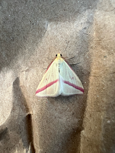


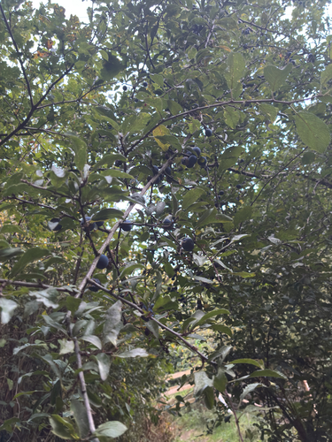

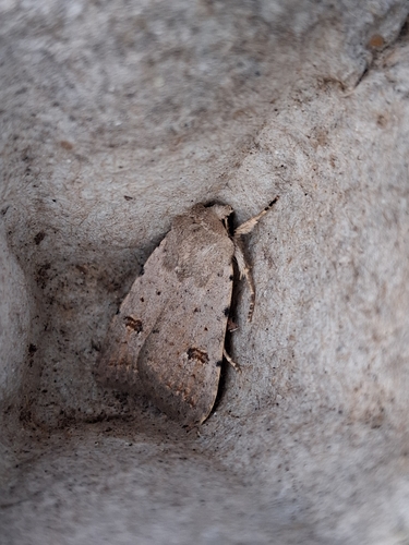
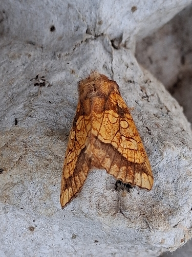
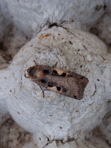
Research-grade observations from iNaturalist (within ~15 mi).
Events
Gallery
Official Identifiers
ONS — UK Office for National Statistics
- ONS code
- osgb4000000074567956
- Local type
- Town
- Region
- South East
api.postcodes.io / OS Open Names
Sources
- • Wikipedia
- • Wikidata
- • iNaturalist
- • Open-Meteo / sunrise-sunset.org
- • Wikipedia Pageviews API
- • Open Library
- • ONS / OS Open Names — UK official place gazetteer, via api.postcodes.io (OS code, local type, county/unitary, district/borough, region)
- • ONS — UK Office for National Statistics — api.postcodes.io / OS Open Names