Browse / United Kingdom / England / Helston
Helston
Englandtown

Helston
Total population
11,178
Demographic figures from UK Office for National Statistics. Overview below cites Wikipedia and may reference a different year.
City facts
Sister cities
Facts from Wikidata (CC0).
Overview
Helston is a town and civil parish in Cornwall, England. It is situated at the northern end of the Lizard Peninsula, approximately 12 miles (19.3 km) east of Penzance and 9 miles (14.5 km) south-west of Falmouth. Helston is the most southerly town on the island of Great Britain and is around 1+1⁄2 mi (2.4 km) farther south than Penzance. At the 2021 census, the population of the parish was 11,611 and that of the built up area was 11,360.
Read more on WikipediaHistory & geography
History
The name comes from the Cornish "hen lys" (or "old court") and "ton" added later to denote a Saxon manor; the Domesday Book refers to Henliston (which survives as the name of a road in the town). Only one edition refers to 'Henlistona'. It was granted its charter by King John on 15 April 1201 for the price of forty marks of silver. It was here that tin ingots were weighed to determine the tin coinage duty due to the Duke of Cornwall when a number of stannary towns were authorised by royal decree. A document of 1396 examined by Charles Henderson shows that the old form "Hellys" was still in use The manor of Helston in Kerrier was one of the seventeen Antiqua maneria of the Duchy of Cornwall. The seal of the borough of Helston was St Michael his wings expanded and standing on a gateway. The two towers domed upon the up-turned dragon, impaling it with his spear and bearing upon his left arm an escutcheon of the arms of England, viz Gu three lions passant guardant in pale Or, with the legend "Sigillum comunitatis helleston burg". It is a matter of debate as to whether Helston was once a port, albeit no actual records exist. A common belief is that, in the 13th century, Loe Bar formed a barrier across the mouth of the River Cober cutting the town off from the sea. Geomorphologists believe the bar was most likely formed by rising sea levels, after the last ice age, blocking the river and creating a barrier beach. The beach is formed mostly of flint and the nearest source is found offshore under the drowned terraces of the former river that flowed between England and France, and now under the English Channel. Daniel Defoe described Helston (1725) in his tour around Great Britain thus, ″This town is large and populous, and has four spacious streets, a handsome church, and a…
Geography
Helston is situated along the banks of the River Cober in Cornwall. Downstream is Cornwall's largest natural lake, Loe Pool, formed when a shingle bar blocked the mouth of the river by rising sea levels forming a barrier beach. To the south is the Lizard Peninsula, an area important for its complex geology and wildlife habitats. Helston has an oceanic climate (Köppen climate classification Cfb). It is one of the mildest places in the country and frosts are rarely severe. The nearest Met Office weather station is RNAS Culdrose, approximately 1 mile south-east of the town centre. Temperature extremes in the area since 1960 have ranged from during January 1987, and up to in June 1976. The lowest temperature in recent years was in December 2009. Snow occurs in median every second year, almost in 2–3 days in line or one alone, most often in January or February.
Excerpted from the corresponding Wikipedia article (CC BY-SA).
Geography
Coordinates & boundaries from the US Census TIGER/Line shapefiles.
Climate
Air quality
Walkability
Amenities nearby
Wildlife & biodiversity
Earthquake history
Photos
Sights & places nearby
Notable people from here


People born within ~10 km, from Wikidata (CC0). Click any name for their Wikipedia article.
Nearby places in England
Geography & sun
Elevation, sunrise/sunset and daylight from Open-Meteo. Solar climatology from NASA POWER.
Nearby airports
Public attention
Pageview totals from the Wikimedia Pageviews API.
Books about Helston
![[Report 1971-1972]](https://covers.openlibrary.org/b/id/8054041-M.jpg)


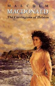
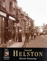
Search results from Open Library.
Recent natural events nearby
Ground air-quality sensors
Recently spotted species
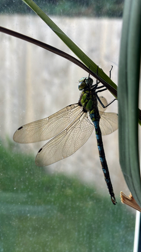
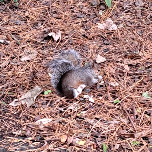
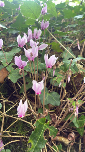
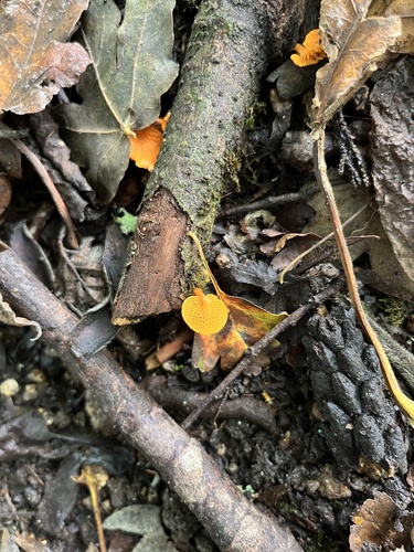
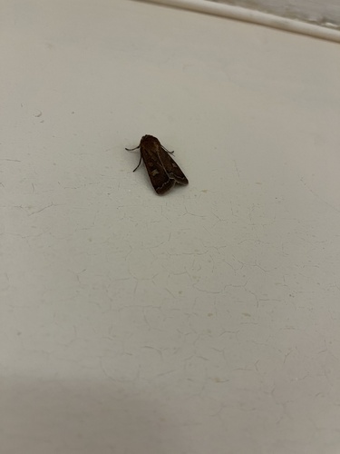
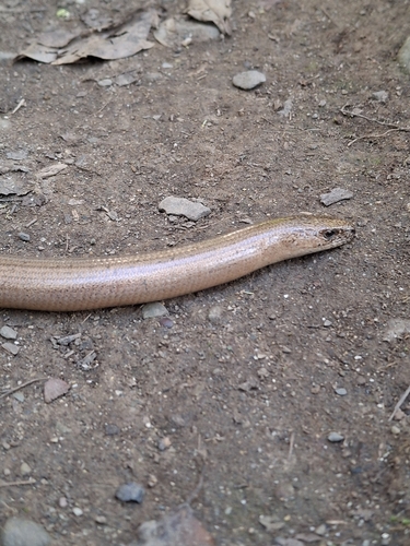
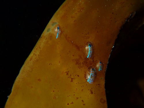
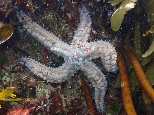
Research-grade observations from iNaturalist (within ~15 mi).
Events
Gallery
Official Identifiers
ONS — UK Office for National Statistics
- ONS code
- osgb4000000074542937
- Local type
- Town
- Region
- South West
api.postcodes.io / OS Open Names
Sources
- • Wikipedia
- • Wikidata
- • iNaturalist
- • Open-Meteo / sunrise-sunset.org
- • Wikipedia Pageviews API
- • Open Library
- • Wikidata SPARQL (CC0) — population, area, elevation, inception, head of government, Commons image
- • ONS / OS Open Names — UK official place gazetteer, via api.postcodes.io (OS code, local type, county/unitary, district/borough, region)
- • ONS — UK Office for National Statistics — api.postcodes.io / OS Open Names