Browse / United Kingdom / England / Ingleby Barwick
Ingleby Barwick
Englandtown

Ingleby Barwick
Total population
20,378
Demographic figures from UK Office for National Statistics. Overview below cites Wikipedia and may reference a different year.
City facts
Overview
Ingleby Barwick is a town and civil parish in the Borough of Stockton-on-Tees, North Yorkshire, England. It is south of the River Tees and north-east of the River Leven.
Read more on WikipediaHistory & geography
History
The settlement of Ingleby Barwick has been occupied for thousands of years. There are traces of human occupation from as far back as the Stone Age. Work at a former farm discovered prolific multi period flintwork and Iron Age field patterns in the town. A salvage excavation was carried out on the former Windmills Fields of the town, at the end of 1996. Five individual burials were found along with a wooden cist, these finds were accompanied by objects containing stone, jet and copper alloy of high status. This site was considered of European significance as it threw new light on the settlement of the area in the Bronze Age and highlighted a change in tradition of burial traditions and trade networks at this time. A Roman settlement is also apparent in the town and a Roman Villa, was excavated in part. This has been preserved as public open space at Condercum Green in The Rings area of Ingleby Barwick. Building work at Quarry Farm discovered prolific concentrations of multi period flintwork along the South Bank of the River Tees and traces of Iron Age field patterns were discovered. Its population was given as 132. During this time the land was sold off by the Turner estate. During the Second World War Ingleby Barwick stood near to the south-western perimeter of Thornaby Airfield and a number of aircraft crashed where Ingleby Barwick now stands. On 11 June 1940 a Coastal Command Lockheed Hudson crashed at Quarry Farm killing the four crew after the bomb load exploded on crashing. On 28 April 1941 a Bristol Blenheim crashed at Barwick Lane killing all three crew. There are still a number of farmhouses that pre-date the 1980s-onward development. * Low Farm. One of the buildings is incorporated in the Teal Arms pub. * Cleveland View on Barwick Lane is another former…
Geography
The town is divided into several areas that include: *Ingleby Barwick Centre *Lowfields *Beckfields, *Sober Hall *Round Hill, named after the adjacent scheduled ancient monument *Broom Hill *The Rings, named after the prehistoric settlements. Ingleby Barwick is surrounded by water on three sides. It is bordered by the Leven to the south and west, the Tees to the north and west, and Bassleton Beck to the east. Barwick pond, in the centre of the town, is a small Local Nature Reserve. Barwick Farm is an operating farm adjacent to The Rings. The main spinal path (Barwick Lane) through Ingleby Barwick was originally the access road for this farm.
Excerpted from the corresponding Wikipedia article (CC BY-SA).
Geography
Coordinates & boundaries from the US Census TIGER/Line shapefiles.
Climate
Air quality
Walkability
Amenities nearby
Wildlife & biodiversity
Earthquake history
Photos
Sights & places nearby
Notable people from here


People born within ~10 km, from Wikidata (CC0). Click any name for their Wikipedia article.
Geography & sun
Elevation, sunrise/sunset and daylight from Open-Meteo. Solar climatology from NASA POWER.
Nearby airports
Public attention
Pageview totals from the Wikimedia Pageviews API.
Books about Ingleby Barwick
Search results from Open Library.
Recent natural events nearby
Ground air-quality sensors
Recently spotted species
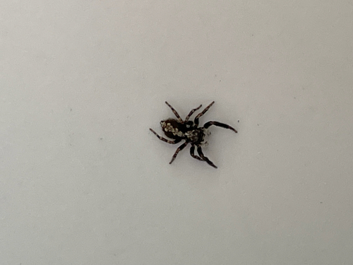
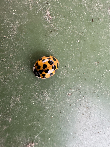
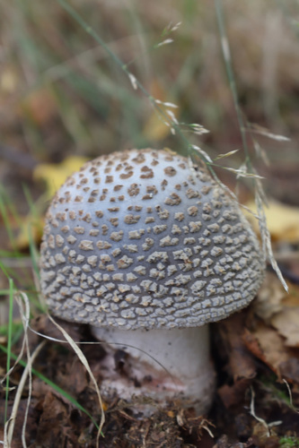
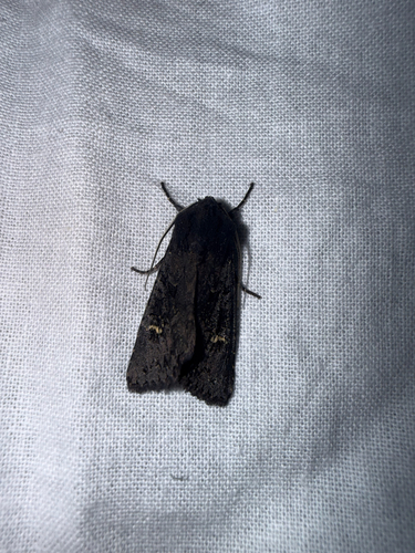
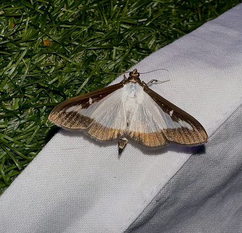
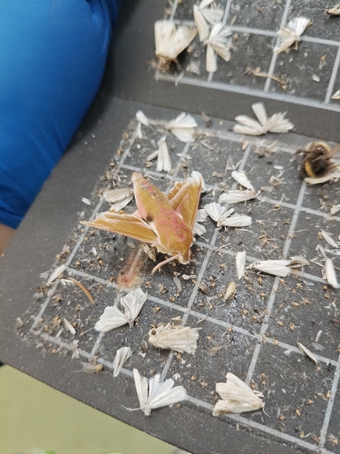
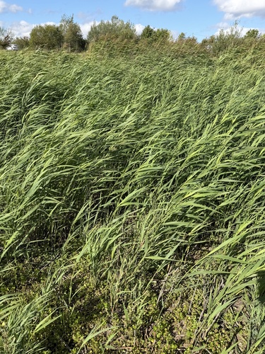
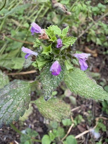
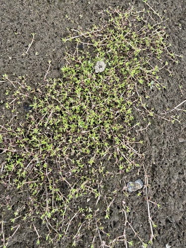
Research-grade observations from iNaturalist (within ~15 mi).
Events
Gallery
Official Identifiers
ONS — UK Office for National Statistics
- ONS code
- osgb4000000074558953
- Local type
- Other Settlement
- Region
- North East
api.postcodes.io / OS Open Names
Sources
- • Wikipedia
- • Wikidata
- • iNaturalist
- • Open-Meteo / sunrise-sunset.org
- • Wikipedia Pageviews API
- • Open Library
- • Wikidata SPARQL (CC0) — population, area, elevation, inception, head of government, Commons image
- • ONS / OS Open Names — UK official place gazetteer, via api.postcodes.io (OS code, local type, county/unitary, district/borough, region)
- • ONS — UK Office for National Statistics — api.postcodes.io / OS Open Names