Browse / United Kingdom / England / Kempston
Kempston
Englandtown

Kempston
Total population
20,000
Demographic figures from UK Office for National Statistics. Overview below cites Wikipedia and may reference a different year.
City facts
Overview
Kempston is a town and civil parish in the Borough of Bedford in Bedfordshire, England, situated around 2 miles (3.2 km) south-west of Bedford town centre. It had a population of 19,330 in the 2011 census, and forms part of the wider Bedford built-up area. The River Great Ouse separates it from the Queen's Park area of Bedford.
Read more on WikipediaHistory & geography
History
The name Kempston derives from the Primitive Welsh word camm meaning 'crook' or 'crooked' and the Old English tūn meaning 'settlement'. This refers to the town's location on a crook-like bend on the River Great Ouse. Until the 19th century Kempston was a mainly rural parish. It was one of the largest in Bedfordshire with an area of 5,025 acres (20 km2) at the time of enclosure in 1804, and was in Redbournestoke Hundred. Historically there was no central village, but instead settlement was divided between a number of hamlets called "Ends", including Up End, Bell End, Wood End and Box End. Kempston's parish church, All Saints, was in Church End, which was not the largest end but was fairly central to the parish. In the 19th century East End, Bell End and Up End began to coalesce into a larger settlement. In 1870 developers began to attempt to develop land on the road from Kempston to Bedford under the name "Kempston New Town". Construction was slow at first, but the new district soon began to expand steadily and Kempston acquired a more urban feel. A permanent military presence was established in the town with the completion of Kempston Barracks in 1876. On 1 April 1896 the parish was divided into "Kempston" (in Kempston Urban District) and of Kempston Rural . The Urban District was based on East End, Up End and Kempston New Town all of which are in the north eastern part of the parish close to Bedford, and had 86.8% of the total population at the 1901 census. Kempston Rural was three times larger, but remained sparsely populated. Church End, with Kempston's original parish church, was included in the Kempston Rural parish and remains a small hamlet today. A gravel pit was opened at Hill Grounds in the 1860s and the area around Bunyan Road was known as 'Gravel…
Excerpted from the corresponding Wikipedia article (CC BY-SA).
Geography
Coordinates & boundaries from the US Census TIGER/Line shapefiles.
Climate
Air quality
Walkability
Amenities nearby
Wildlife & biodiversity
Earthquake history
Photos
Sights & places nearby
Notable people from here


People born within ~10 km, from Wikidata (CC0). Click any name for their Wikipedia article.
Geography & sun
Elevation, sunrise/sunset and daylight from Open-Meteo. Solar climatology from NASA POWER.
Nearby airports
Public attention
Pageview totals from the Wikimedia Pageviews API.
Books about Kempston
![[Report 1945]](https://covers.openlibrary.org/b/id/11794544-M.jpg)
![[Report 1961-1962]](https://covers.openlibrary.org/b/id/8071729-M.jpg)
Search results from Open Library.
Recent natural events nearby
Ground air-quality sensors
Recently spotted species

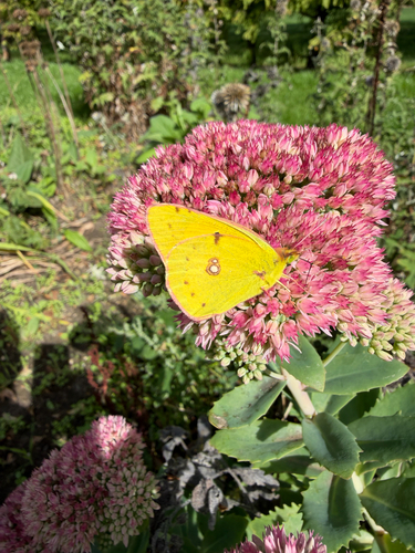
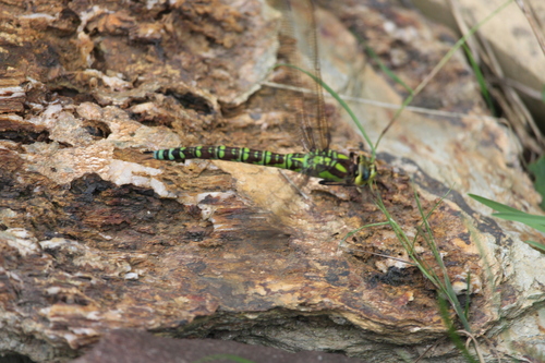
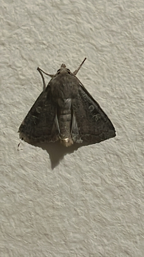

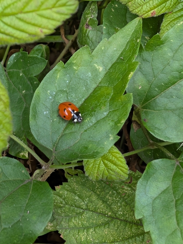
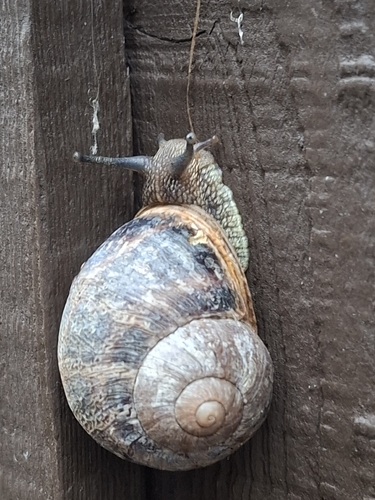
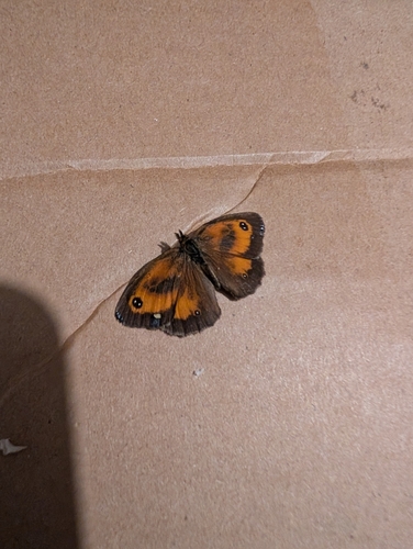
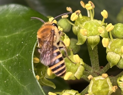
Research-grade observations from iNaturalist (within ~15 mi).
Events
Gallery
Official Identifiers
ONS — UK Office for National Statistics
- ONS code
- osgb4000000074572286
- Local type
- Town
- Region
- Eastern
api.postcodes.io / OS Open Names
Sources
- • Wikipedia
- • Wikidata
- • iNaturalist
- • Open-Meteo / sunrise-sunset.org
- • Wikipedia Pageviews API
- • Open Library
- • Wikidata SPARQL (CC0) — population, area, elevation, inception, head of government, Commons image
- • ONS / OS Open Names — UK official place gazetteer, via api.postcodes.io (OS code, local type, county/unitary, district/borough, region)
- • ONS — UK Office for National Statistics — api.postcodes.io / OS Open Names