Browse / United Kingdom / Scotland / Kilmarnock
Kilmarnock
Scotlandtown

Kilmarnock
Total population
45,000
Demographic figures from UK Office for National Statistics. Overview below cites Wikipedia and may reference a different year.
City facts
Facts from Wikidata (CC0).
Overview
Kilmarnock, meaning "the church of Mernóc", also colloquially referred to as Killie, is a town and former burgh in East Ayrshire situated in southwest Scotland. The town has served as the administrative centre of East Ayrshire Council since 1996, and is the region's main commercial and industrial centre. The town has a total of 284 listed buildings and structures as designed by Historic Environment Scotland, including the Dick Institute, Dean Castle, Loanhead School and the original 1898 building of Kilmarnock Academy, with post-war developments of the controversial 1970s regeneration including the Clydesdale Bank building receiving Category C status in 2026.
Read more on WikipediaHistory & geography
History
The town's precise origins are largely unclear, however, it is believed that a community was established between the fifth–seventh centuries at the Laigh Kirk Church by a Saint Marnock. The earliest known mention of the town was in the 14th century, with Clan Boyd coming to prominence in the area during that time, building the Keep of the Dean Castle. The Romans held a "tentative grip" on the area in and around Kilmarnock, with forts nearby at Loudoun Castle as well as possessing costal harbours around Ayrshire. Early references to the town are vague in regards to population numbers and the geographical size of the town, however, it is widely believed that at this time, the town was little more than a small cluster of dwellings situated around the Laigh Kirk church. About 120 families lost most of their possessions and were forced to live destitute in the fields surrounding the town. These tradespeople had no other way of making a living and had already been driven to the edge of poverty by having troops stationed with them as part of the anti-Covenanter measures. Parish churches throughout Scotland collected money for the relief of these homeless citizens. In 1592, King James VI of Scotland granted a charter to Thomas, Lord Boyd, erecting Kilmarnock into a burgh of barony. The charter confirms that the Boyd family to be in possession of the land of Kilmarnock and assures any future line of succession. At the beginning of the 16th century, Kilmarnock was described as "a large village and of great repair" with nearby Kilmaurs notably larger than Kilmarnock. However, over the course of the next one hundred years, the expansion of Kilmarnock was evident. Its expansion led to Kilmarnock becoming larger than Kilmaurs and becoming Ayrshire's largest inland centre and…
Excerpted from the corresponding Wikipedia article (CC BY-SA).
Geography
Coordinates & boundaries from the US Census TIGER/Line shapefiles.
Climate
Air quality
Walkability
Amenities nearby
Wildlife & biodiversity
Earthquake history
Photos
Sights & places nearby
Notable people from here


People born within ~10 km, from Wikidata (CC0). Click any name for their Wikipedia article.
Geography & sun
Elevation, sunrise/sunset and daylight from Open-Meteo. Solar climatology from NASA POWER.
Nearby airports
Public attention
Pageview totals from the Wikimedia Pageviews API.
Books about Kilmarnock

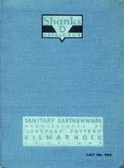
![[Report 1949]](https://covers.openlibrary.org/b/id/7445344-M.jpg)
![[Report 1937]](https://covers.openlibrary.org/b/id/7445358-M.jpg)
![[Report 1956]](https://covers.openlibrary.org/b/id/7445373-M.jpg)
![[Report 1940]](https://covers.openlibrary.org/b/id/7445374-M.jpg)
![[Report 1946]](https://covers.openlibrary.org/b/id/7445386-M.jpg)
![[Report 1955]](https://covers.openlibrary.org/b/id/7445396-M.jpg)
Search results from Open Library.
Recent natural events nearby
Ground air-quality sensors
Recently spotted species
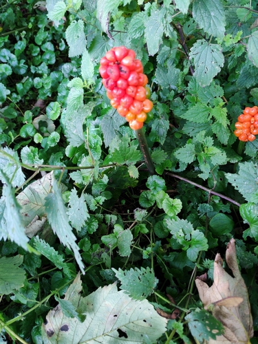
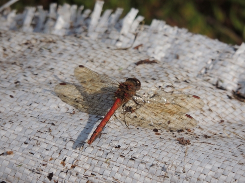
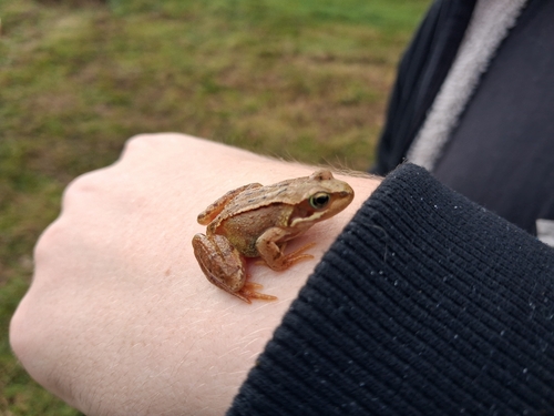
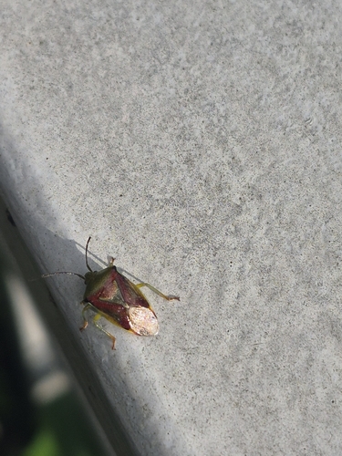
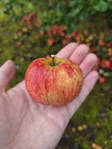
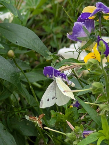
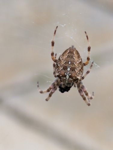
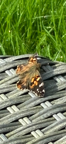
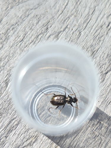
Research-grade observations from iNaturalist (within ~15 mi).
Events
Gallery
Official Identifiers
ONS — UK Office for National Statistics
- ONS code
- osgb4000000074569732
- Local type
- Town
- Region
- Scotland
api.postcodes.io / OS Open Names
Sources
- • Wikipedia
- • Wikidata
- • iNaturalist
- • Open-Meteo / sunrise-sunset.org
- • Wikipedia Pageviews API
- • Open Library
- • Wikidata SPARQL (CC0) — population, area, elevation, inception, head of government, Commons image
- • ONS / OS Open Names — UK official place gazetteer, via api.postcodes.io (OS code, local type, county/unitary, district/borough, region)
- • ONS — UK Office for National Statistics — api.postcodes.io / OS Open Names