Browse / United Kingdom / England / Liverpool
Liverpool
Englandcity

Liverpool
Total population
434,900
Founded
1207
Demographic figures from UK Office for National Statistics. Overview below cites Wikipedia and may reference a different year.
City facts
Facts from Wikidata (CC0).
Overview
Liverpool is a port city and metropolitan borough in Merseyside, England. It is situated on the eastern side of the Mersey Estuary, near the Irish Sea, 178 miles (286 km) north-west of London. It had an estimated population of 507,915 in 2025. The city is within the larger Liverpool City Region, a combined authority area with a population of over 1.5 million.
Read more on WikipediaHistory & geography
History
In the Middle Ages, Liverpool first existed as farmland within the West Derby Hundred before growing into a small town of farmers, fishermen and tradesmen and tactical army base for King John of England. A tidal creek, known as the Pool provided a natural harbour for ships. The town was planned with its own castle, although due to outbreaks of disease and its subordinance to the nearby Roman port of Chester, the town's growth and prosperity stagnated until the late 17th and early 18th centuries. There was substantial growth in the mid- to late 18th century, when the town became the European port most heavily involved in the Atlantic slave trade. King John's letters patent of 1207 announced the foundation of the borough of Liverpool (then spelt as Liuerpul). There is no evidence that the place had previously been a centre of any trade. The borough was probably created because King John decided that it would be a convenient place to embark men and supplies for his Irish campaigns: in particular his Irish campaign of 1209. The original street plan of Liverpool is said to have been designed by King John near the same time it was granted a royal charter, making it a borough. The original seven streets were laid out in the shape of a double cross: Bank Street (now Water Street), Castle Street, Chapel Street, Dale Street, Juggler Street (now High Street), Moor Street (now Tithebarn Street) and Whiteacre Street (now Old Hall Street). By the middle of the 16th century, the population was still around 600, although this was likely to have fallen from an earlier peak of 1,000 people due to slow trade and the effects of the plague. In the 17th century, there was slow progress in trade and population growth. Battles for control of the town were waged during the English Civil War,…
Geography
Liverpool has been described as having "the most splendid setting of any English city". At (53.4, −2.98), north-west of London, located on the Liverpool Bay of the Irish Sea, Liverpool is built across a ridge of sandstone hills rising up to a height of around above sea-level at Everton Hill, which represents the southern boundary of the West Lancashire Coastal Plain. The Mersey Estuary separates Liverpool from the Wirral Peninsula. The boundaries of Liverpool are adjacent to Bootle, Crosby and Maghull in south Sefton to the north, and Kirkby, Huyton, Prescot and Halewood in Knowsley to the east. Liverpool experiences a temperate maritime climate (Köppen: Cfb), like much of the British Isles, with relatively mild summers, cool winters and rainfall spread fairly evenly throughout the year. Rainfall and temperature records had been kept at Bidston Hill since 1867, but records for atmospheric pressure go back as far as at least 1846. Bidston closed down in 2002 but the Met Office also has a weather station at Crosby. Since records began in 1867, temperatures have ranged from on 21 December 2010 to on 2 August 1990, although Liverpool Airport recorded a temperature of on 19 July 2006. The lowest amount of sunshine on record was 16.5 hours in December 1927 whereas the most was 314.5 hours in July 2013. Tornado activity or funnel cloud formation is very rare in and around the Liverpool area and tornadoes that do form are usually weak. Recent tornadoes or funnel clouds in Merseyside have been seen in 1998 and 2014. During the period 1981–2010, Crosby recorded an average of 32.8 days of air frost per year, which is low for the United Kingdom. Snow is fairly common during the winter although heavy snow is rare. Snow generally falls between November and March but can…
Excerpted from the corresponding Wikipedia article (CC BY-SA).
Geography
Coordinates & boundaries from the US Census TIGER/Line shapefiles.
Climate
Air quality
Walkability
Amenities nearby
Wildlife & biodiversity
Most-observed species
- Common Wood-PigeonColumba palumbus Linnaeus, 1758 · Aves19,241
- Eurasian MagpiePica pica (Linnaeus, 1758) · Aves16,417
- Eurasian BlackbirdTurdus merula Linnaeus, 1758 · Aves15,382
- Carrion CrowCorvus corone Linnaeus, 1758 · Aves15,362
- European RobinErithacus rubecula (Linnaeus, 1758) · Aves13,501
- Herring GullLarus argentatus Pontoppidan, 1763 · Aves13,187
- European GoldfinchCarduelis carduelis (Linnaeus, 1758) · Aves11,702
- MallardAnas platyrhynchos Linnaeus, 1758 · Aves11,688
Citizen-science & research observations from the Global Biodiversity Information Facility (GBIF).
Earthquake history
Most recent
- M 3.4 — 2025-12-030 km ESE of Carnforth, United Kingdom
- M 2.7 — 2023-06-282 km SE of Cheadle, United Kingdom
- M 3.6 — 2022-05-302 km ESE of Prees, United Kingdom
- M 3 — 2015-05-266 km WSW of Caernarfon, United Kingdom
- M 3.2 — 2013-08-2523 km W of Cleveleys, United Kingdom
- M 3.7 — 2009-04-283 km WSW of Flookburgh, United Kingdom
Events from the USGS Earthquake Catalog (global) (FDSN Event Web Service).
Photos
Sights & places nearby
Notable people from here


People born within ~10 km, from Wikidata (CC0). Click any name for their Wikipedia article.
Nearby places in England
Geography & sun
Elevation, sunrise/sunset and daylight from Open-Meteo. Solar climatology from NASA POWER.
Nearby airports
Public attention
Pageview totals from the Wikimedia Pageviews API.
Books about Liverpool


Search results from Open Library.
Recent natural events nearby
Ground air-quality sensors
Recently spotted species
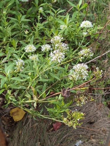
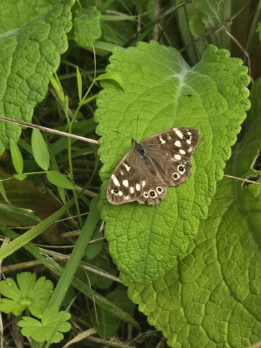
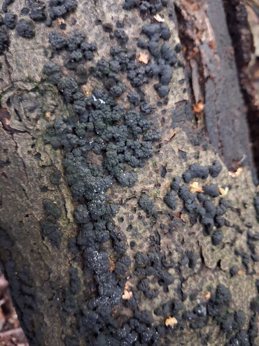
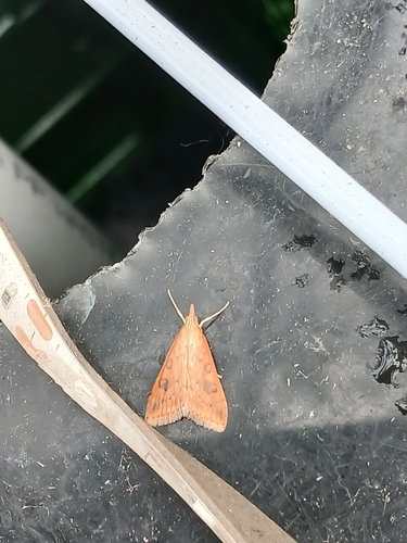
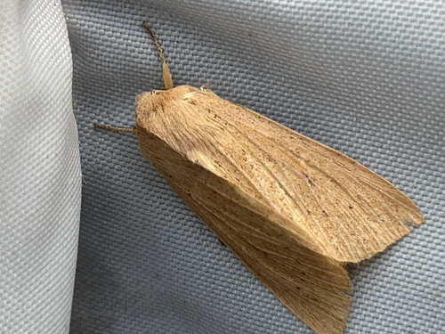
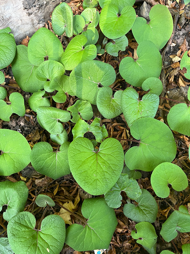
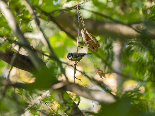
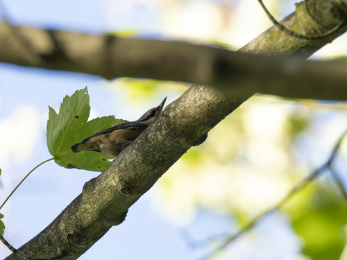
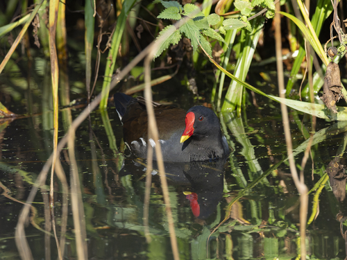
Research-grade observations from iNaturalist (within ~15 mi).
Events
Gallery
Geotagged photos within ~6 miles of Liverpool, from Wikimedia Commons contributors.


.jpg)


.jpg)
.jpg)


.jpg)
.jpg)


Photos via Wikimedia Commons — see each image page for license & attribution.
Official Identifiers
ONS — UK Office for National Statistics
- ONS code
- osgb4000000074559629
- Local type
- City
- Region
- North West
api.postcodes.io / OS Open Names
Sources
- • Wikipedia
- • Wikimedia Commons
- • Wikidata
- • USGS Earthquake Catalog (global feed)
- • GBIF (Global Biodiversity Information Facility)
- • iNaturalist
- • Open-Elevation
- • Open-Meteo / sunrise-sunset.org
- • Wikipedia Pageviews API
- • Open Library
- • Wikidata SPARQL (CC0) — population, area, elevation, inception, head of government, Commons image
- • ONS / OS Open Names — UK official place gazetteer, via api.postcodes.io (OS code, local type, county/unitary, district/borough, region)
- • ONS — UK Office for National Statistics — api.postcodes.io / OS Open Names