Browse / United Kingdom / England / Lowestoft
Lowestoft
Englandtown

Lowestoft
Total population
64,358
Demographic figures from UK Office for National Statistics. Overview below cites Wikipedia and may reference a different year.
City facts
Sister cities
Facts from Wikidata (CC0).
Overview
Lowestoft is a coastal town and civil parish in the East Suffolk district of Suffolk, England. As the most easterly UK settlement, it is 38 miles (61 km) north-east of Ipswich and 22 miles (35 km) south-east of Norwich, and the main town in its district. Its development grew with the fishing industry and as a seaside resort with wide sandy beaches. As fishing declined, oil and gas exploitation in the North Sea in the 1960s took over. In 2021 the built-up area had a population of 71,327 and the parish had a population of 47,879.
Read more on WikipediaHistory & geography
History
Some of the earliest signs of settlement in Britain have been found in Lowestoft. Flint tools discovered in 2005 in the cliffs at Pakefield, south Lowestoft, show that humans inhabited the area as far back as 700,000 years. Habitation occurred in the Neolithic, Bronze and Iron ages and in the Roman and Saxon times. Several finds have been made at a Saxon cemetery at Bloodmoor Hill in south Lowestoft. The place name derives from a Norse personal name, Hlothver, and toft, an Old Norse word for homestead. Over time, it has been spelled Lothnwistoft, Lothuwistoft, Lestoffe, Laistoe, Loystoft and Laystoft. The 1086 Domesday Book gives Lothuwistoft village some 16 households in three families, with ten smallholders and three slaves. The manor formed part of the king's holding in the Hundred of Lothingland, worth about four geld in tax income. Roger Bigod was the tenant in chief. In the Middle Ages, Lowestoft became an important fishing town that came to challenge its neighbour, Great Yarmouth. The trade, particularly for herring, continued as the town's main identity into the 20th century. In the First English Civil War Lowestoft's sympathies were Royalist partly due to her commercial rivalry with the Parliamentarian Great Yarmouth and in 1643 was seized by Royalist sympathisers, who were defeated and captured by Eastern Association troops led by Oliver Cromwell, the only civil war battle in Suffolk. The naval Battle of Lowestoft in June 1665 was the first in the Second Anglo-Dutch War. Held off the coast, it was a victory for the English. Lowestoft Porcelain Factory, from 1757 to 1802, was in production for longer than any English soft-paste porcelain manufacturer other than Royal Worcester and Royal Crown Derby, producing domestic pots, teapots and jugs. It stood on…
Geography
Lowestoft, the easternmost town in the United Kingdom, lies on the North Sea coast. The town is divided by Lake Lothing, which forms the inner part of Lowestoft Harbour and gives access via Oulton Broad and Oulton Dyke to the River Waveney and the Broads. The northern half is on the island of Lothingland. Lowestoft is mainly low-lying, with hilly areas in the north and high points of above sea level. The rock beneath is crag-sand with overlying sand and glacial till deposits with gravel, with the crag exposed at coastal cliffs such as Pakefield's. To the north of the harbour is an area of old sand dunes known as the Denes, along with more beaches and Ness Point, the easternmost point of the UK. Lowestoft has been subject to periodic flooding, notably in January 1953, when a North Sea swell driven by low pressure and an extreme high tide swept away many earlier sea defences and deluged most of the southern town. Heavy rain caused flash flooding in the town in September 2006. In December 2013, a storm surge caused severe flooding of Lowestoft and its suburbs. Lowestoft is among the UK's driest areas: annual rainfall averages under 600 mm distributed fairly evenly through the year. Mean daily summer temperatures peak at 21 °C in August, when the town averages over 200 hours of sunshine, while in winter minima average 2 °C. | source 2 = KNMI }}
Excerpted from the corresponding Wikipedia article (CC BY-SA).
Geography
Coordinates & boundaries from the US Census TIGER/Line shapefiles.
Climate
Air quality
Walkability
Amenities nearby
Wildlife & biodiversity
Earthquake history
Photos
Sights & places nearby
Notable people from here


People born within ~10 km, from Wikidata (CC0). Click any name for their Wikipedia article.
Geography & sun
Elevation, sunrise/sunset and daylight from Open-Meteo. Solar climatology from NASA POWER.
Nearby airports
Public attention
Pageview totals from the Wikimedia Pageviews API.
Books about Lowestoft
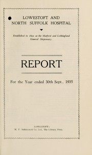
![[Report 1936]](https://covers.openlibrary.org/b/id/8108176-M.jpg)
![[Report 1905]](https://covers.openlibrary.org/b/id/11795759-M.jpg)
![[Report 1908]](https://covers.openlibrary.org/b/id/13397527-M.jpg)
![[Report 1893]](https://covers.openlibrary.org/b/id/13365378-M.jpg)
Search results from Open Library.
Recent natural events nearby
Ground air-quality sensors
Recently spotted species
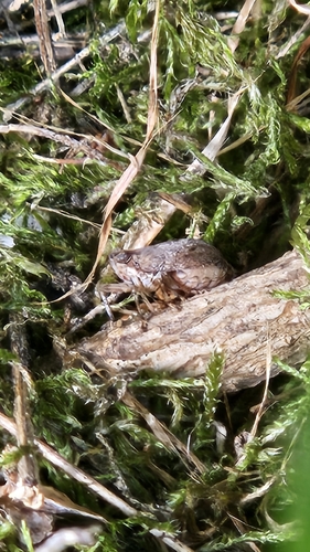
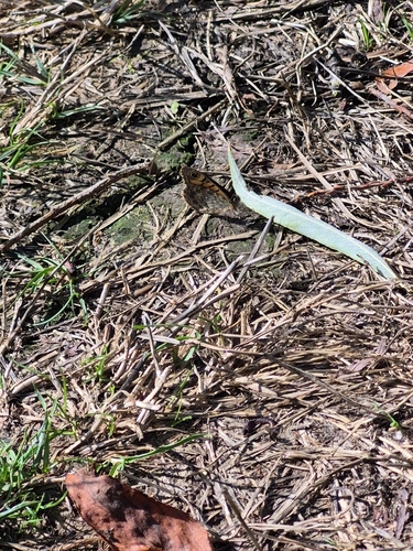
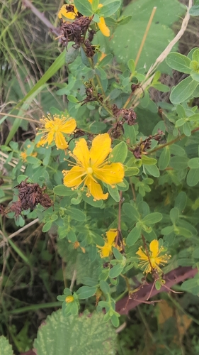
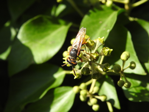
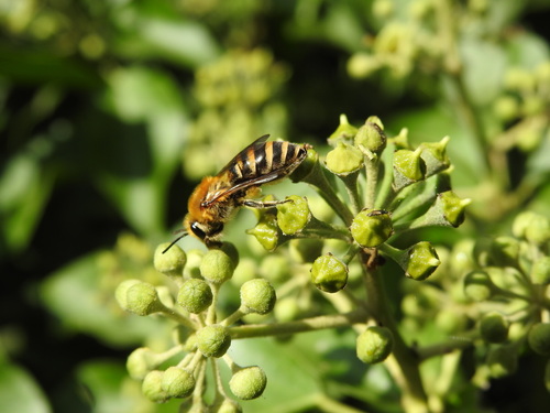
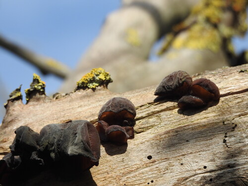
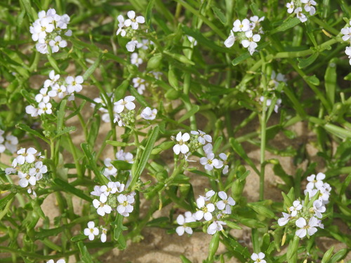
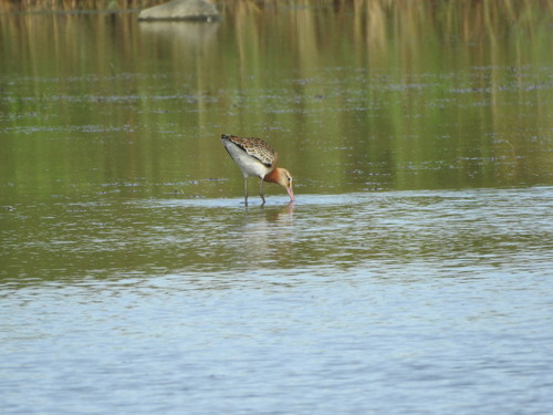
Research-grade observations from iNaturalist (within ~15 mi).
Events
Gallery
Official Identifiers
ONS — UK Office for National Statistics
- ONS code
- osgb4000000074546520
- Local type
- Town
- Region
- Eastern
api.postcodes.io / OS Open Names
Sources
- • Wikipedia
- • Wikidata
- • iNaturalist
- • Open-Meteo / sunrise-sunset.org
- • Wikipedia Pageviews API
- • Open Library
- • Wikidata SPARQL (CC0) — population, area, elevation, inception, head of government, Commons image
- • ONS / OS Open Names — UK official place gazetteer, via api.postcodes.io (OS code, local type, county/unitary, district/borough, region)
- • ONS — UK Office for National Statistics — api.postcodes.io / OS Open Names