Browse / United Kingdom / England / Lydney
Lydney
Englandtown

Lydney
Demographic figures from UK Office for National Statistics. Overview below cites Wikipedia and may reference a different year.
City facts
Overview
Lydney is a town and civil parish in Gloucestershire, England. It is on the west bank of the River Severn in the Forest of Dean District, and is 16 miles (25 km) southwest of Gloucester. The town has been bypassed by the A48 road since 1995. The population was 8,960 at the 2001 census, decreasing to 8,766 at the 2011 census, and increasing to 10,043 at the 2021 census.
Read more on WikipediaHistory & geography
History
In the Iron Age a promontory fort was established at Lydney Park and later used for iron ore mining. In the late Roman period, a Roman temple to Nodens was built on the site of the fort. In 1588 the Vice-Admiral of England Sir William Winter was granted the manor of Lydney in recognition of his services against the Spanish Armada. White Cross Manor, the house he built soon after he bought the manor, was burned down in 1645. In 1723 the Winter family sold their Lydney estate to the Bathurst family In 1964 the town was the site of the Lydney Murder, a significant case in the history of the use of entomology to assist criminal investigations. On 28 June 1964 a body was found in woods near Bracknell. By studying the maggots found on the body, forensic entomologist Professor Keith Simpson was able to establish a date of death of around 16 June 1964. Missing persons records for that date led the police to believe that the body was that of Peter Thomas, who had gone missing from his home in Lydney. Fingerprints confirmed the identification. William Brittle, a business partner of Thomas, was convicted of the murder. The Lydney Murder was the subject of an episode of the Discovery Channel documentary: "Crime Museum UK with Martin Kemp".
Geography
The bedrock of Lydney and its environs is mostly sandstone of the St Maughans, Brownstones, Coleford and Cromhall formations, with Raglan formation mudstone in the east extending under the River Severn, different mudstone and limestone types to the west and Mercia mudstone to the south. The various types of bedrock date from the Silurian (from 423.6 million years ago (mya) for Raglan mudstone) through to the end of the Triassic and the beginning of the Jurassic periods (201.3 mya for Mercia mudstone). Lower-lying areas are overlain by Quaternary period deposits, sand and gravel (up to 2.588 mya, such as under Church Road and Bathurst Park) and the more recent estuarine alluvium of the Lydney Level, with some also from the Lyd, Plummer's Brook to the east and other brooks (up to 11.8 thousand years ago (the beginning of the Holocene epoch), such as under Swan Road, Regent Street, Lydney Recreation Ground and the east-west railway line. Elevations range from 7 metres at the ponds south of the A48 to over 150 metres around Brockhollands and north of Allaston. Before the onset of the Holocene, parts of the coastline were at least as far north as Newerne Street, crossing north of the current A48 from the direction of Alvington in four places. There have been a number of changes in the coastline since Roman times. Early usage of alluvial resources was made from settlements based in the Forest of Dean. There were six or more land reclamation periods. An early seabank around reclaimed land from Stockwell Brook at Aylburton part of the way to Alvington has been attributed to first-millennium Roman construction. Iron was produced on an industrial scale and timber sourced from the Forest of Dean through the centuries as well as pottery being made. There was a large increase in…
Excerpted from the corresponding Wikipedia article (CC BY-SA).
Geography
Coordinates & boundaries from the US Census TIGER/Line shapefiles.
Climate
Air quality
Walkability
Amenities nearby
Wildlife & biodiversity
Most-observed species
- Common Wood-PigeonColumba palumbus Linnaeus, 1758 · Aves10,028
- European RobinErithacus rubecula (Linnaeus, 1758) · Aves9,244
- Eurasian Blue TitCyanistes caeruleus (Linnaeus, 1758) · Aves9,135
- Eurasian BlackbirdTurdus merula Linnaeus, 1758 · Aves7,975
- Carrion CrowCorvus corone Linnaeus, 1758 · Aves7,812
- MallardAnas platyrhynchos Linnaeus, 1758 · Aves7,803
- Western JackdawColoeus monedula (Linnaeus, 1758) · Aves7,197
- Great TitParus major Linnaeus, 1758 · Aves7,165
Citizen-science & research observations from the Global Biodiversity Information Facility (GBIF).
Earthquake history
Most recent
- M 3.4 — 2023-02-241 km ENE of Brynmawr, United Kingdom
- M 3.2 — 2022-02-215 km N of Hockley, United Kingdom
- M 3.4 — 2019-12-051 km ESE of Taunton, United Kingdom
- M 4.3 — 2018-02-175 km NE of Clydach, United Kingdom
- M 3.9 — 2008-10-262 km N of Bromyard, United Kingdom
- M 2.7 — 2006-11-054 km NNE of Tenbury Wells, United Kingdom
Events from the USGS Earthquake Catalog (global) (FDSN Event Web Service).
Photos
Sights & places nearby
Notable people from here


People born within ~10 km, from Wikidata (CC0). Click any name for their Wikipedia article.
Nearby places in England
Geography & sun
Elevation, sunrise/sunset and daylight from Open-Meteo. Solar climatology from NASA POWER.
Nearby airports
Public attention
Pageview totals from the Wikimedia Pageviews API.
Books about Lydney



Search results from Open Library.
Recent natural events nearby
Ground air-quality sensors
Recently spotted species
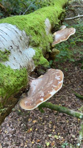
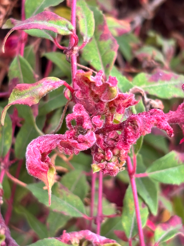
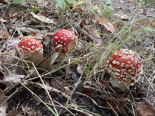
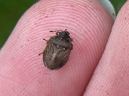
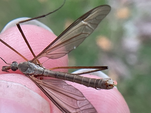
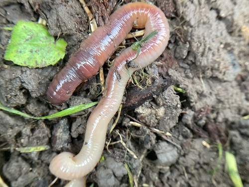
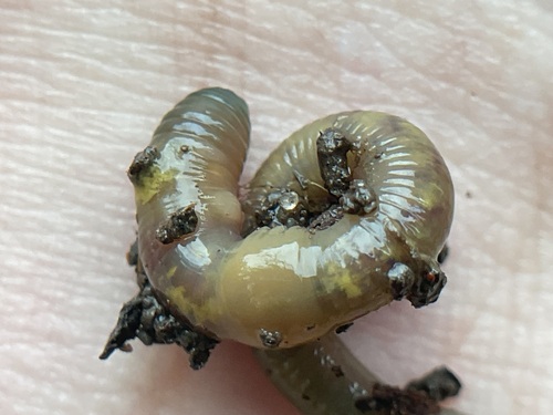
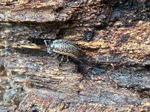
Research-grade observations from iNaturalist (within ~15 mi).
Events
Gallery
Official Identifiers
ONS — UK Office for National Statistics
- ONS code
- osgb4000000074576487
- Local type
- Town
- Region
- South West
api.postcodes.io / OS Open Names
Sources
- • Wikipedia
- • Wikidata
- • USGS Earthquake Catalog (global feed)
- • GBIF (Global Biodiversity Information Facility)
- • iNaturalist
- • Open-Meteo / sunrise-sunset.org
- • Wikipedia Pageviews API
- • Open Library
- • ONS / OS Open Names — UK official place gazetteer, via api.postcodes.io (OS code, local type, county/unitary, district/borough, region)
- • ONS — UK Office for National Statistics — api.postcodes.io / OS Open Names