Browse / United Kingdom / England / Maghull
Maghull
Englandtown

Maghull
Total population
20,444
Demographic figures from UK Office for National Statistics. Overview below cites Wikipedia and may reference a different year.
City facts
Overview
Maghull is a town and civil parish in Sefton, Merseyside, England. The town is north of Liverpool and west of Kirkby. The town is also the location of Ashworth Hospital.
Read more on WikipediaHistory & geography
History
The original settlement, consisting of fifty people and six square miles of agricultural settlement, was established prior to the Domesday Survey of 1086 where the town is recorded as Magele on a ridge of high ground, that can be most clearly seen at Red Lion Bridge towards the centre of the town and the Leeds and Liverpool Canal follows it on the plain and the A5147 on the brow. This ridge marks the edge of the flood plain of the River Alt, providing protection from flooding and access to this fertile pasture of the plain. A church is known to have existed in the area in 1100 although it has been rebuilt at least once and the chapel still stands, in the churchyard of the Victorian St Andrew's and is the oldest ecclesiastical building in Merseyside still in regular use for worship but in 1756 the mediaeval nave of Maghull Chapel was pulled down with a Roman Catholic dual-purpose school-chapel opening in 1890 near Massey's Barn. It is noted that in 1568 Maghull Moss was divided between Sir Richard Molyneux of Melling and Edward Hulme of Maghull. The boundary of Maghull was, in the north, Maghull Brook and to the south, Melling Brook; the west was marked by the River Alt. At the eastern edge, however, the boundary was ill-defined on the moorland and due to the value of turf from the moss as a vital fuel this caused regular disputes between both Maghull and Melling Manors. Maghull Manor House was built in 1638 and local tradition has it that Charles II slept there during a visit to the area but by 1780 a new manor house had been built near the site of the original and it still stands in the grounds of Maghull Homes with part of the original moat. It is also recorded that by 1667 the population of Maghull had increased to 599 with 136 houses and 127 families and by 1770…
Geography
Maghull is seven miles north-northeast of Liverpool city centre. To the northwest is Lydiate, to the east Melling, to the south Aintree and Netherton and to the west the Mersey Forest and Sefton village. Maghull is separated from the rest of the Greater Liverpool sprawl by a green belt which runs across the Switch Island motorway junction and through which flows the River Alt.
Excerpted from the corresponding Wikipedia article (CC BY-SA).
Geography
Coordinates & boundaries from the US Census TIGER/Line shapefiles.
Climate
Air quality
Walkability
Amenities nearby
Wildlife & biodiversity
Most-observed species
- Common Wood-PigeonColumba palumbus Linnaeus, 1758 · Aves16,710
- Eurasian MagpiePica pica (Linnaeus, 1758) · Aves14,123
- Eurasian BlackbirdTurdus merula Linnaeus, 1758 · Aves13,270
- Carrion CrowCorvus corone Linnaeus, 1758 · Aves13,222
- European RobinErithacus rubecula (Linnaeus, 1758) · Aves12,268
- Herring GullLarus argentatus Pontoppidan, 1763 · Aves10,923
- Black-headed GullChroicocephalus ridibundus (Linnaeus, 1766) · Aves10,437
- European GoldfinchCarduelis carduelis (Linnaeus, 1758) · Aves10,348
Citizen-science & research observations from the Global Biodiversity Information Facility (GBIF).
Earthquake history
Most recent
- M 3.4 — 2025-12-030 km ESE of Carnforth, United Kingdom
- M 2.7 — 2023-06-282 km SE of Cheadle, United Kingdom
- M 3.6 — 2022-05-302 km ESE of Prees, United Kingdom
- M 3.2 — 2013-08-2523 km W of Cleveleys, United Kingdom
- M 3.5 — 2010-12-2112 km WSW of Ambleside, United Kingdom
- M 3.7 — 2009-04-283 km WSW of Flookburgh, United Kingdom
Events from the USGS Earthquake Catalog (global) (FDSN Event Web Service).
Photos
Sights & places nearby
Notable people from here
Nearby places in England
Geography & sun
Elevation, sunrise/sunset and daylight from Open-Meteo. Solar climatology from NASA POWER.
Nearby airports
Public attention
Pageview totals from the Wikimedia Pageviews API.
Books about Maghull


Search results from Open Library.
Recent natural events nearby
Ground air-quality sensors
Recently spotted species
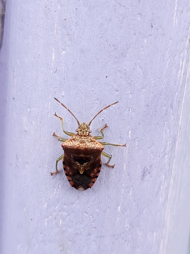
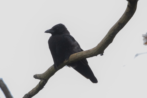
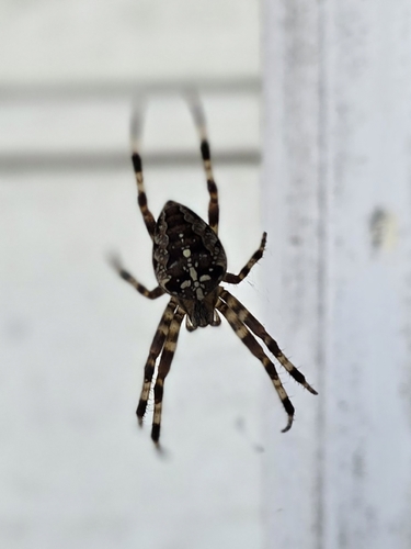
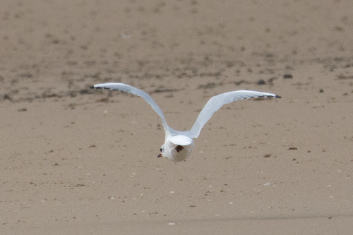
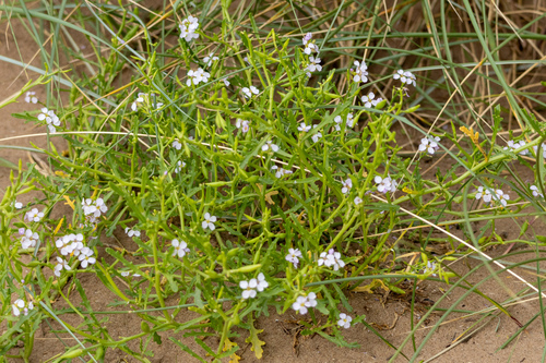
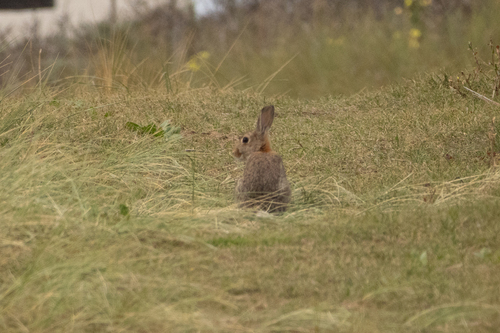
Research-grade observations from iNaturalist (within ~15 mi).
Events
Gallery
Official Identifiers
ONS — UK Office for National Statistics
- ONS code
- osgb4000000074579487
- Local type
- Town
- Region
- North West
api.postcodes.io / OS Open Names
Sources
- • Wikipedia
- • USGS Earthquake Catalog (global feed)
- • GBIF (Global Biodiversity Information Facility)
- • iNaturalist
- • Open-Meteo / sunrise-sunset.org
- • Wikipedia Pageviews API
- • Open Library
- • Wikidata SPARQL (CC0) — population, area, elevation, inception, head of government, Commons image
- • ONS / OS Open Names — UK official place gazetteer, via api.postcodes.io (OS code, local type, county/unitary, district/borough, region)
- • ONS — UK Office for National Statistics — api.postcodes.io / OS Open Names