Browse / United Kingdom / England / Middleton in Teesdale
Middleton in Teesdale
Englandtown

Middleton in Teesdale
Demographic figures from UK Office for National Statistics. Overview below cites Wikipedia and may reference a different year.
City facts
Overview
Middleton-in-Teesdale is a market town and civil parish in County Durham, England. It is in Teesdale, on the River Tees's north banks, and surrounded by the North Pennines. The town is between Eggleston and Newbiggin, a few miles to the north-west of Barnard Castle. In 2011 it had a population of 1,137.
Read more on WikipediaHistory & geography
History
The market town in Upper Teesdale expanded in the early 19th century when the London Lead Company moved its northern headquarters there from Blanchland in Northumberland. Much of the architecture from its days as a company town is still clearly visible. This includes Middleton House, formerly the headquarters of the company, the school (which is now an outdoor centre) and some company houses. Hushing for lead on the moors helped to carve out Coldberry Gutter, though the gorge is mostly the result of glacial meltwater activity. St Mary's Church, rebuilt in the late 1870s, has a historic detached bell tower with bells dating back to the 16th century. There are separate chapels for Catholics, Baptists, Wesleyans and Primitive Methodists. A fountain was erected in the town in 1877 to honour Robert Walton Bainbridge, superintendent of the London Lead Mining Company. Middleton-in-Teesdale was the terminus of the Tees Valley Railway from Barnard Castle until this was closed as part of the Beeching Axe. The Wynch Bridge from 1830 close to the Low Force waterfall was built to allow miners to reach the Middleton mines. It is thought to be one of the oldest suspension bridge in England. On 20 June 1939, a British American Air Services De Havilland Dragon Rapide (Registration:G-AERE) flying from Heston Aerodrome to Newcastle Airport crashed at Forest-in-Teesdale near Middleton-in-Teesdale. The weather was bad and the aircraft was flying low. The accident killed all three passengers and crew on board.
Excerpted from the corresponding Wikipedia article (CC BY-SA).
Geography
Coordinates & boundaries from the US Census TIGER/Line shapefiles.
Climate
Air quality
Walkability
Amenities nearby
Wildlife & biodiversity
Earthquake history
Photos
Sights & places nearby
Notable people from here


People born within ~10 km, from Wikidata (CC0). Click any name for their Wikipedia article.
Geography & sun
Elevation, sunrise/sunset and daylight from Open-Meteo. Solar climatology from NASA POWER.
Nearby airports
Public attention
Pageview totals from the Wikimedia Pageviews API.
Books about Middleton in Teesdale
Search results from Open Library.
Recent natural events nearby
Ground air-quality sensors
Recently spotted species
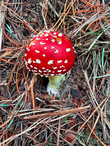
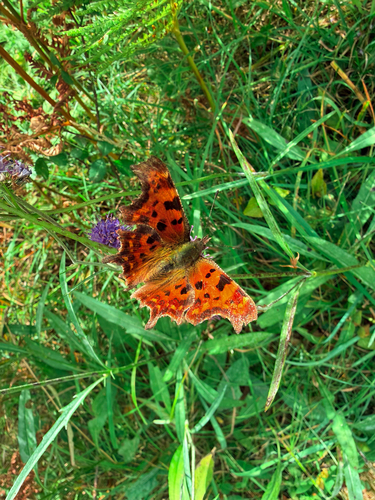

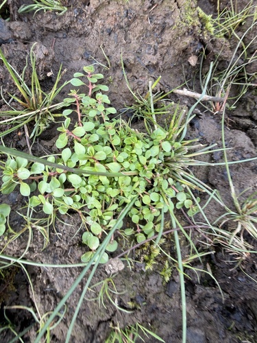
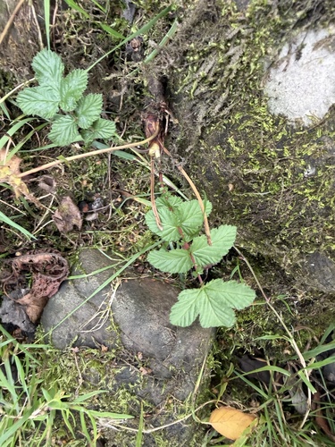
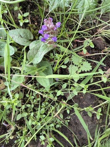

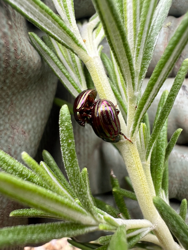
Research-grade observations from iNaturalist (within ~15 mi).
Events
Gallery
Sources
- • Wikipedia
- • Wikidata
- • iNaturalist
- • Open-Meteo / sunrise-sunset.org
- • Wikipedia Pageviews API
- • Open Library