Browse / United Kingdom / Scotland / Mintlaw
Mintlaw
Scotlandvillage

Mintlaw
Total population
2,837
Demographic figures from UK Office for National Statistics. Overview below cites Wikipedia and may reference a different year.
City facts
Facts from Wikidata (CC0).
Overview
Mintlaw (literally meaning a smooth, flat place) is a large village in Aberdeenshire, Scotland. It lies at the intersection of the A950 and A952 roads, west of Peterhead. The 2001 UK census records a population of 2,647 people.
Read more on WikipediaHistory & geography
History
The local area is rich in prehistory and historical features. Somewhat to the south of Mintlaw are a number of prehistoric monuments including Catto Long Barrow, Silver Cairn and many tumuli. In that same vicinity of the Laeca Burn watershed is the point d'appui of historical battles between invading Danes and indigenous Picts. Mintlaw was formed as a planned village around 1813 by James Ferguson the third Laird of Pitfour. Unlike many planned villages of the time, trees lined the streets and instead of having a square at the centre of the village, it was diamond-shaped. It was later redesigned to become a roundabout on the main route between Aberdeen and Fraserburgh. Victorian times saw the coming in the 1860s of the Formartine and Buchan Railway from Dyce via Maud Junction to Peterhead. Mintlaw was a scheduled stop on this line. Old Deer and Mintlaw railway station was built a little to the west of the village, perhaps because this was more convenient for the Ferguson family of Pitfour and the Russell family of Aden. More affluent homes were built on Station Road to house businesses and professional people. The Post Office moved closer to the railway and became a Crown Office. Mintlaw Station was the postal address for this whole district for many years. The Crown Post Office was combined with that in Peterhead with the railway closure in the 1960s, and the village post office moved back to South Street. Telephone numbers, too, were Mintlaw Station until the early 1970s when the word Station was dropped. Although the date of the village's founding is not known for sure; 2013 was marked as its bicentenary year.
Excerpted from the corresponding Wikipedia article (CC BY-SA).
Geography
Coordinates & boundaries from the US Census TIGER/Line shapefiles.
Climate
Air quality
Walkability
Amenities nearby
Wildlife & biodiversity
Earthquake history
Photos
Sights & places nearby
Notable people from here


People born within ~10 km, from Wikidata (CC0). Click any name for their Wikipedia article.
Nearby places in Scotland
Geography & sun
Elevation, sunrise/sunset and daylight from Open-Meteo. Solar climatology from NASA POWER.
Nearby airports
Public attention
Pageview totals from the Wikimedia Pageviews API.
Books about this place
Recent natural events nearby
Ground air-quality sensors
Recently spotted species
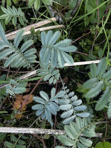
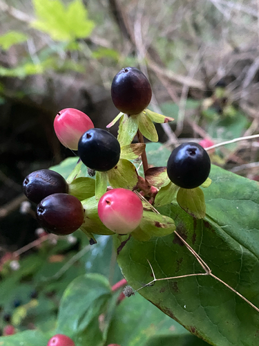
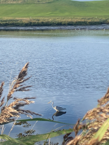
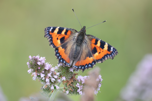
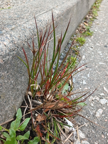
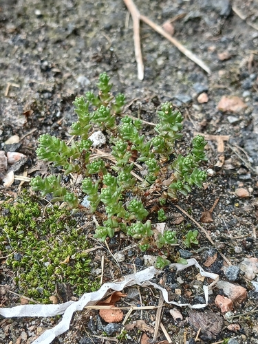
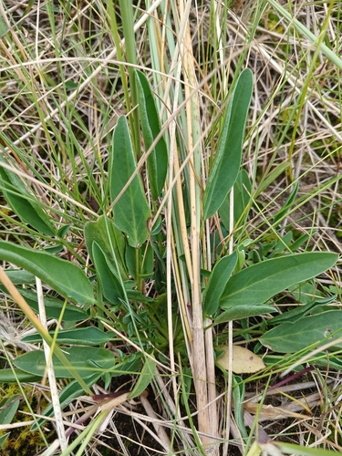
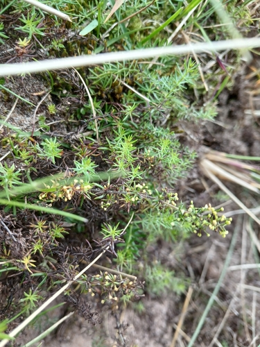
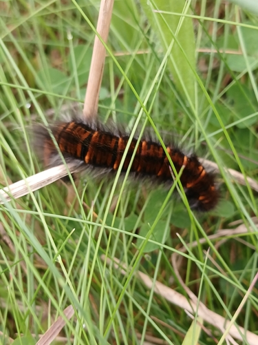
Research-grade observations from iNaturalist (within ~15 mi).
Events
Gallery
Official Identifiers
ONS — UK Office for National Statistics
- ONS code
- osgb4000000074545149
- Local type
- Village
- Region
- Scotland
api.postcodes.io / OS Open Names
Sources
- • Wikipedia
- • Wikidata
- • iNaturalist
- • Open-Meteo / sunrise-sunset.org
- • Wikipedia Pageviews API
- • ONS / OS Open Names — UK official place gazetteer, via api.postcodes.io (OS code, local type, county/unitary, district/borough, region)
- • ONS — UK Office for National Statistics — api.postcodes.io / OS Open Names