Browse / United Kingdom / Scotland / Monifieth
Monifieth
Scotlandtown

Monifieth
Total population
9,367
Demographic figures from UK Office for National Statistics. Overview below cites Wikipedia and may reference a different year.
City facts
Sister cities
Facts from Wikidata (CC0).
Overview
Monifieth is a coastal town and former police burgh in the council area of Angus, Scotland. It is situated on the north bank of the Firth of Tay on the east coast. In 2022, the population of Monifieth was 9,367, making it the fifth largest town in Angus.
Read more on WikipediaHistory & geography
History
The name "Monifieth" likely derives from the Gaelic "Moine Feith", "Bogstream of the marsh/moss". Previous suggestions that it comes from "Monadh Fieth" meaning "hill of the deer" make little sense. "Monadh" would mean a large upland mountainous area, which(given that the town is many miles from the highlands) is the exact opposite of Monifieths topography. An alternative etymology Monaich Fother, 'Monks' Land' has been suggested, which holds some appeal due to Monifieth's early status as a possession of the Céli Dé monastic order. 'Monifieth' has been given various spellings over the years, including 'Monifođ'/'Monifod', 'Monifoth', 'Munifođ', 'Monyfuthe', 'Monyfuthie', 'Monyfaith', 'Monyfuth', 'Monifuth', 'Monifeith', 'Monyfeith', and 'Monyfieth', before becoming standardised as 'Monifieth' on publication of the first edition of the Ordnance Survey maps. The earliest evidence for occupation of the area surrounding Monifieth dates to the Mesolithic period. Midden pits of that age have been found nearby at Stannergate, and worked flints apparently of that age have been found at Balmossie. More tangible evidence for settlement can be found from the Neolithic period, for example with the Cursus monument, identified from cropmarks near Woodhill, between Monifieth and Carnoustie. This cursus is of a similar scale to the well characterised, mid 4th century BC enclosure found nearby at Douglasmuir near Friockheim. Numerous stones incised with cup and ring marks have also been found in the surrounding area. Approximately to the north of Monifieth lies Laws hill, on which lies the Iron Age ruins of a broch and vitrified fort. These ruins are much reduced as the stone from their walls has been used on the estate for construction of dykes and drains, well into the 19th…
Geography
Monifieth occupies a position on the north bank of the Firth of Tay on the east coast of Scotland, on land immediately to the west of the Buddon Ness, E of Dundee, and NNW of London. The built-up area occupies a roughly rectangular shape long by wide, aligned in an ENE direction. The land is relatively flat, rising gradually to around 50m elevation to the North of the town at South Grange. The town occupies the southern part of the Parish of Monifieth, at the South westernmost corner of the county of Angus, and incorporates a number of former villages and Hamlets, including Ashludie, Milton and South Grange. Contiguous to the town, on the West side of the county boundary, is Barnhill and Panmurefield Village and the Dundee conurbation. To the East is a expanse of rural land between the town and the village of Barry and town of Carnoustie. This rural area includes a number of farmsteads and hamlets, including Lucknow, West Cotside, Ardestie, Balhungie and Woodhill, as well as the Monifieth golf courses and Panmure golf course. To the south of this, on the southern side of the railway, is the peninsula of the Buddon Ness, on which lies the Ministry of Defence owned Barry Buddon training camp. This land is classified as a Site of Special Scientific Interest and a Special Area of Conservation. The Buddon Ness is a triangle of land around 11 km2. Its position at the estuary of the River Tay makes it prone to erosion, and the position of both the West and East facing shores have changed considerably over the years. Comparison of Ordnance Survey maps from the mid-19th century with present-day maps show the shoreline retreating on the West shore and advancing on the East shore. To the north of the town runs the A92, between Dundee and Arbroath. Beyond this lies…
Excerpted from the corresponding Wikipedia article (CC BY-SA).
Geography
Coordinates & boundaries from the US Census TIGER/Line shapefiles.
Climate
Air quality
Walkability
Amenities nearby
Wildlife & biodiversity
Earthquake history
Photos
Sights & places nearby
Notable people from here


People born within ~10 km, from Wikidata (CC0). Click any name for their Wikipedia article.
Nearby places in Scotland
Geography & sun
Elevation, sunrise/sunset and daylight from Open-Meteo. Solar climatology from NASA POWER.
Nearby airports
Public attention
Pageview totals from the Wikimedia Pageviews API.
Books about Monifieth
![[Report 1928]](https://covers.openlibrary.org/b/id/13388542-M.jpg)
![[Report 1927]](https://covers.openlibrary.org/b/id/13378469-M.jpg)
![[Report 1912]](https://covers.openlibrary.org/b/id/13363827-M.jpg)
![[Report 1926]](https://covers.openlibrary.org/b/id/13427458-M.jpg)
![[Report 1920]](https://covers.openlibrary.org/b/id/13366551-M.jpg)
![[Report 1925]](https://covers.openlibrary.org/b/id/13430280-M.jpg)
![[Report 1923]](https://covers.openlibrary.org/b/id/13371825-M.jpg)
![[Report 1929]](https://covers.openlibrary.org/b/id/13430867-M.jpg)
Search results from Open Library.
Recent natural events nearby
Ground air-quality sensors
Recently spotted species
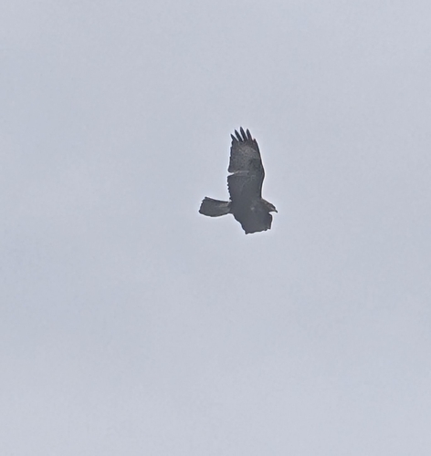
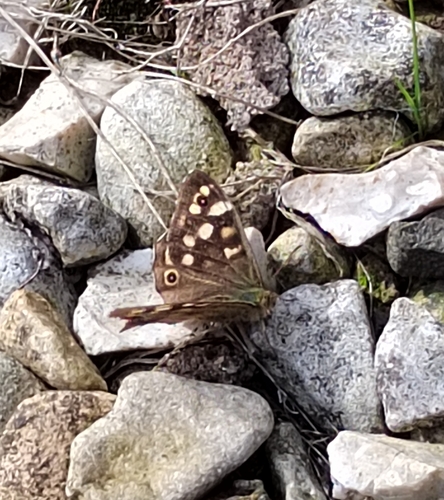
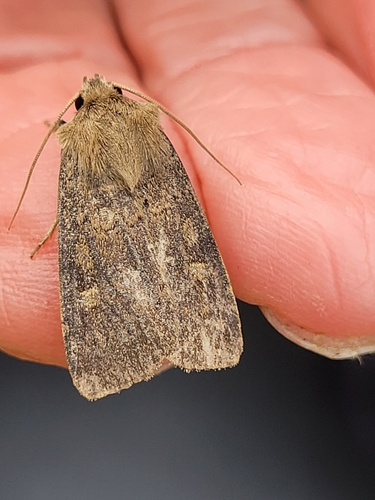
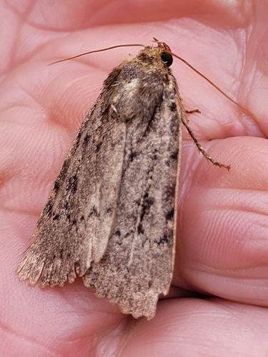
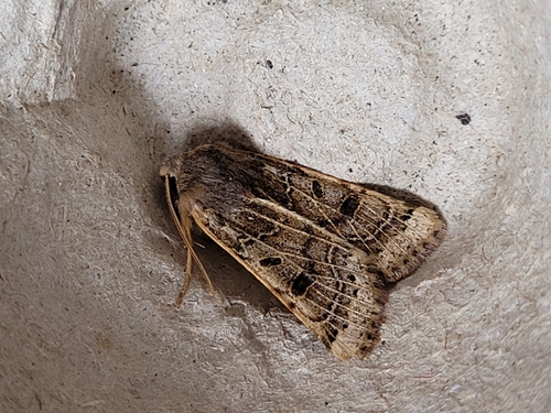
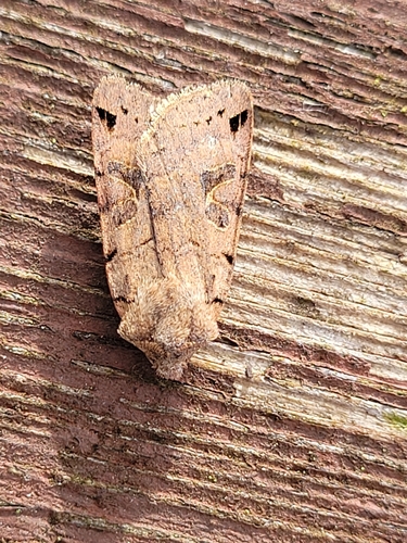
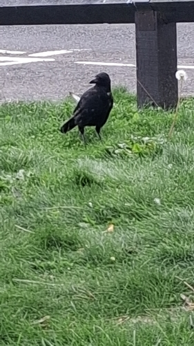
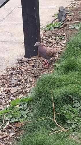
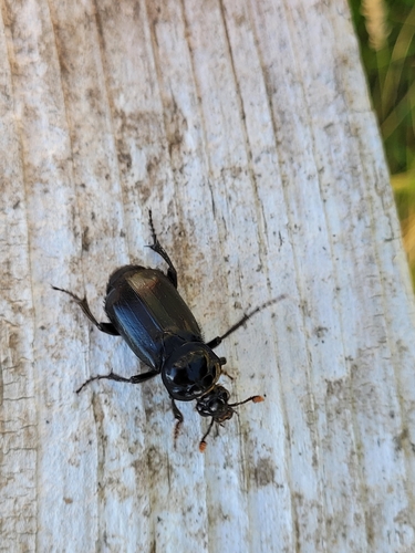
Research-grade observations from iNaturalist (within ~15 mi).
Events
Gallery
Official Identifiers
ONS — UK Office for National Statistics
- ONS code
- osgb4000000074556159
- Local type
- Town
- Region
- Scotland
api.postcodes.io / OS Open Names
Sources
- • Wikipedia
- • Wikidata
- • iNaturalist
- • Open-Meteo / sunrise-sunset.org
- • Wikipedia Pageviews API
- • Open Library
- • ONS / OS Open Names — UK official place gazetteer, via api.postcodes.io (OS code, local type, county/unitary, district/borough, region)
- • ONS — UK Office for National Statistics — api.postcodes.io / OS Open Names