Browse / United Kingdom / Wales / Monmouth
Monmouth
Walestown

Monmouth
Total population
10,110
Demographic figures from UK Office for National Statistics. Overview below cites Wikipedia and may reference a different year.
City facts
Overview
Monmouth is a market town and community in Monmouthshire, Wales, situated on where the River Monnow joins the River Wye, two miles from the Wales–England border. The population in the 2011 census was 10,508, rising from 8,877 in 2001. Monmouth was the county town of historic Monmouthshire, although Abergavenny is the largest settlement and Monmouthshire County Council has its main offices at Rhadyr, just outside Usk. Monmouth is in the UK Parliament constituency of Monmouthshire and the Senedd constituency of Monmouth.
Read more on WikipediaHistory & geography
History
Excavations undertaken by the Monmouth Archaeological Society on sites along Monnow Street have uncovered details of the early history of the town. The Council for British Archaeology has designated Monmouth as one of the top ten towns in Britain for archaeology. Evidence of a Bronze Age boat building community, including three channels adjoining the site of a now-vanished lake, was discovered in September 2013, during archaeological investigations by the Monmouth Archaeological Society of the Parc Glyndwr housing development site, immediately north-west of the town. The excavations later revealed the remains of a Neolithic dwelling. The dwelling was constructed on stilts on a human-made island away from the lake shore in water up to deep. Oak timbers had been "skillfully" cut with stone or flint axes to form stilts, of posts and poles, which "probably" rested on three parallel fully-grown tree 'sleeper beams', up to wide, laid horizontally on the lakebed. The first recorded settlement at Monmouth was the small Roman fort of Blestium, one of a network of military bases established on the frontiers of the Roman occupation. This was connected by road to the larger Roman towns at Glevum (Gloucester) and Isca Augusta (Caerleon). Archaeologists have found Roman pottery and coins within the modern town centre. During the later Roman period, between the 2nd and late 4th centuries, it appears to have been a centre for iron working, using the local iron ores and charcoal also worked at nearby Gobannium (Abergavenny) and Ariconium (near Ross-on-Wye). After the end of Roman rule in Britain, the area was at the southern edge of the Welsh kingdom of Ergyng. The only evidence of continuing settlement at Monmouth is a record of a 7th-century church, at an unknown location…
Geography
Monmouth is in an area of Devonian age Old Red Sandstone, at the point where the River Wye is joined by its tributary, the River Monnow, and immediately north of the point at which the smaller River Trothy flows into the Wye from the west. Immediately to the south, the Wye enters a valley, incised into sandstone and, in particular, Carboniferous Limestone. The town is surrounded by wooded hills to its north, east and south, including Buckholt Wood (), The Kymin (), and The Graig (), with more gently undulating terrain to the west. The town centre itself is sited on a low-lying spur between the floodplains of the Wye and Monnow, and has frequently suffered from severe flooding. The water-meadows to the north and south of the town centre, known respectively as Vauxhall Fields and Chippenham Mead, have generally remained free of development. In climatic terms, the town is located between those areas around the Severn Estuary which show a maritime influence, and the cooler and drier conditions of the English Midlands further inland.
Excerpted from the corresponding Wikipedia article (CC BY-SA).
Geography
Coordinates & boundaries from the US Census TIGER/Line shapefiles.
Climate
Air quality
Walkability
Amenities nearby
Wildlife & biodiversity
Most-observed species
- European RobinErithacus rubecula (Linnaeus, 1758) · Aves3,217
- Eurasian Blue TitCyanistes caeruleus (Linnaeus, 1758) · Aves3,097
- Eurasian BlackbirdTurdus merula Linnaeus, 1758 · Aves2,952
- Common Wood-PigeonColumba palumbus Linnaeus, 1758 · Aves2,667
- Great TitParus major Linnaeus, 1758 · Aves2,447
- Carrion CrowCorvus corone Linnaeus, 1758 · Aves2,250
- Common ChaffinchFringilla coelebs Linnaeus, 1758 · Aves2,083
- Eurasian WrenTroglodytes troglodytes (Linnaeus, 1758) · Aves1,886
Citizen-science & research observations from the Global Biodiversity Information Facility (GBIF).
Earthquake history
Most recent
- M 3.4 — 2023-02-241 km ENE of Brynmawr, United Kingdom
- M 3.2 — 2022-02-215 km N of Hockley, United Kingdom
- M 3.4 — 2019-12-051 km ESE of Taunton, United Kingdom
- M 4.3 — 2018-02-175 km NE of Clydach, United Kingdom
- M 3.9 — 2008-10-262 km N of Bromyard, United Kingdom
- M 2.7 — 2006-11-054 km NNE of Tenbury Wells, United Kingdom
Events from the USGS Earthquake Catalog (global) (FDSN Event Web Service).
Photos
Sights & places nearby
Notable people from here
Geography & sun
Elevation, sunrise/sunset and daylight from Open-Meteo. Solar climatology from NASA POWER.
Nearby airports
Public attention
Pageview totals from the Wikimedia Pageviews API.
Books about Monmouth

![[Report 1945]](https://covers.openlibrary.org/b/id/13415567-M.jpg)
![[Report 1937]](https://covers.openlibrary.org/b/id/7879155-M.jpg)
![[Report 1949]](https://covers.openlibrary.org/b/id/13400181-M.jpg)
![[Report 1947]](https://covers.openlibrary.org/b/id/13398492-M.jpg)
![[Report 1925]](https://covers.openlibrary.org/b/id/13366025-M.jpg)
![[Report 1948]](https://covers.openlibrary.org/b/id/13388008-M.jpg)
![[Report 1946]](https://covers.openlibrary.org/b/id/13375406-M.jpg)
Search results from Open Library.
Recent natural events nearby
Ground air-quality sensors
Recently spotted species
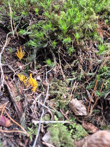
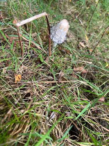
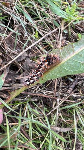
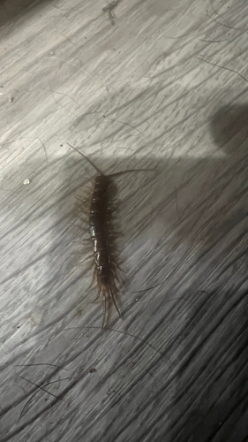
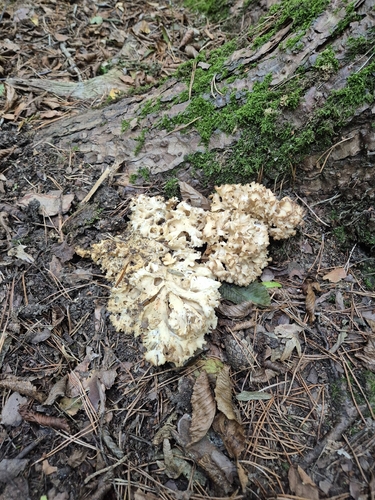
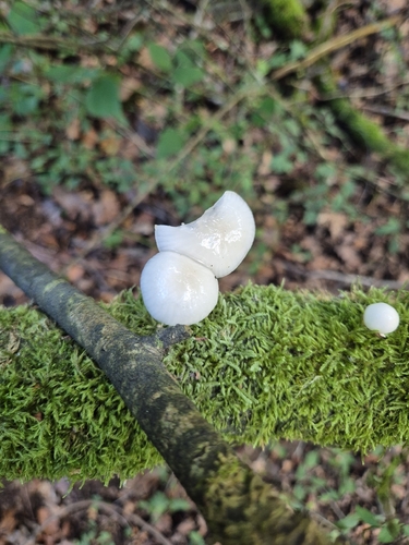
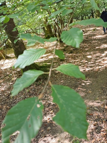
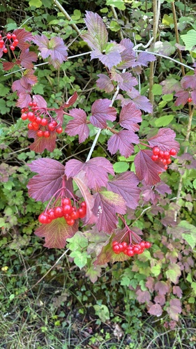
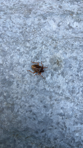
Research-grade observations from iNaturalist (within ~15 mi).
Events
Notable, recurring, and historical events associated with Monmouth, sourced from Wikidata.
Source: Wikidata (CC0).
Gallery
Official Identifiers
ONS — UK Office for National Statistics
- ONS code
- osgb4000000074579108
- Local type
- Town
- Region
- Wales
api.postcodes.io / OS Open Names
Sources
- • Wikipedia
- • Wikidata
- • USGS Earthquake Catalog (global feed)
- • GBIF (Global Biodiversity Information Facility)
- • iNaturalist
- • Open-Meteo / sunrise-sunset.org
- • Wikipedia Pageviews API
- • Open Library
- • Wikidata SPARQL (CC0) — population, area, elevation, inception, head of government, Commons image
- • ONS / OS Open Names — UK official place gazetteer, via api.postcodes.io (OS code, local type, county/unitary, district/borough, region)
- • ONS — UK Office for National Statistics — api.postcodes.io / OS Open Names