Browse / United Kingdom / Wales / Neath
Neath
Walestown

Neath
Total population
50,658
Demographic figures from UK Office for National Statistics. Overview below cites Wikipedia and may reference a different year.
City facts
Facts from Wikidata (CC0).
Overview
Neath is a market town and community situated in the Neath Port Talbot County Borough, Wales. The town had a population of 50,658 in 2011. The community of the parish of Neath had a population of 19,258 in 2011. Historically in Glamorgan, the town is located on the River Neath, seven miles east-northeast of Swansea.
Read more on WikipediaHistory & geography
History
The town is located at a ford of the River Neath and its strategic situation is evident by a number of Celtic hill forts, surrounding the town. The Romans also recognised the area's strategic importance and built an Auxiliary Fort on the river's Western bank around 74 AD. Much of the site is on the grounds of Dwr-y-Felin Comprehensive School but archaeological digs have also found gate-towers that extended out beyond the fort's walls (a feature unique in Roman Britain) and a large Roman marching camp that would have accommodated thousands of troops. These finds indicate some of the unusual measures the Romans took during the resistance of the native Silures. The fort at Neath was abandoned around 125 AD for fifteen years and again around 170 AD for a century before the final Roman withdrawal around 320 AD. The Antonine Itinerary () names (or ) as one of nine places in Roman Wales. St Illtyd visited the Neath area and established a settlement in what is now known as Llantwit on the northern edge of the town. The church of St Illtyd was built at this settlement and was enlarged in Norman times. The Norman and pre-Norman church structure remains intact and active to day within the Church in Wales. The Welsh language name for Neath is , referring to the Norman Neath Castle, the English kings Henry II, John, and Edward I visited. Neath was a market town that expanded with the arrival of the Industrial Revolution in the 18th century with new manufacturing industries of iron, steel and tinplate. The Mackworth family, who owned the Gnoll Estate were prominent in the town's industrial development. Coal was mined extensively in the surrounding valleys and the construction of canals and railways made Neath a major transportation centre and the Evans and…
Excerpted from the corresponding Wikipedia article (CC BY-SA).
Geography
Coordinates & boundaries from the US Census TIGER/Line shapefiles.
Climate
Air quality
Walkability
Amenities nearby
Wildlife & biodiversity
Earthquake history
Photos
Sights & places nearby
Notable people from here
Geography & sun
Elevation, sunrise/sunset and daylight from Open-Meteo. Solar climatology from NASA POWER.
Nearby airports
Public attention
Pageview totals from the Wikimedia Pageviews API.
Books about Neath

![[Report 1937]](https://covers.openlibrary.org/b/id/7892957-M.jpg)
![[Report 1939]](https://covers.openlibrary.org/b/id/13373239-M.jpg)
![[Report 1938]](https://covers.openlibrary.org/b/id/7879293-M.jpg)
![[Report 1925]](https://covers.openlibrary.org/b/id/13363251-M.jpg)
![[Report 1968]](https://covers.openlibrary.org/b/id/7879314-M.jpg)
Search results from Open Library.
Recent natural events nearby
Ground air-quality sensors
Recently spotted species
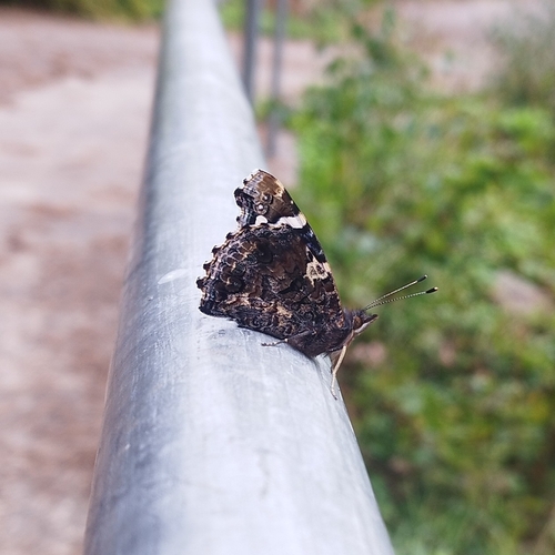
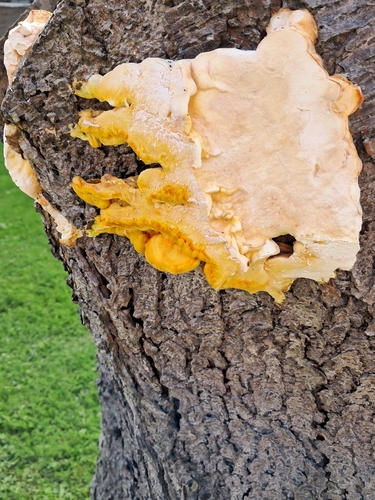
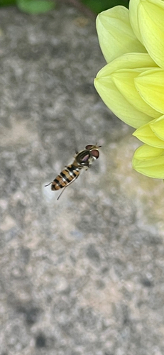
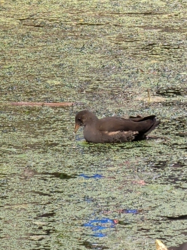
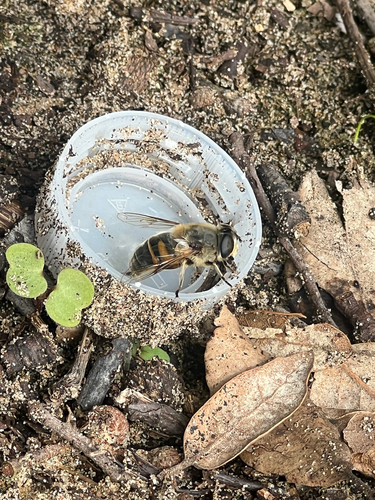
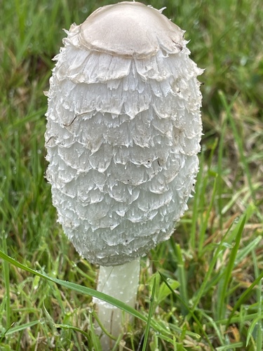

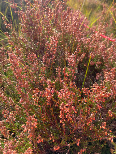
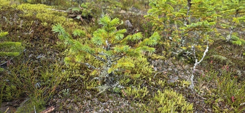
Research-grade observations from iNaturalist (within ~15 mi).
Events
Notable, recurring, and historical events associated with Neath, sourced from Wikidata.
Source: Wikidata (CC0).
Gallery
Official Identifiers
ONS — UK Office for National Statistics
- ONS code
- osgb4000000074548341
- Local type
- Town
- Region
- Wales
api.postcodes.io / OS Open Names
Sources
- • Wikipedia
- • Wikidata
- • iNaturalist
- • Open-Meteo / sunrise-sunset.org
- • Wikipedia Pageviews API
- • Open Library
- • Wikidata SPARQL (CC0) — population, area, elevation, inception, head of government, Commons image
- • ONS / OS Open Names — UK official place gazetteer, via api.postcodes.io (OS code, local type, county/unitary, district/borough, region)
- • ONS — UK Office for National Statistics — api.postcodes.io / OS Open Names