Browse / United Kingdom / England / Needham Market
Needham Market
Englandtown

Needham Market
Demographic figures from UK Office for National Statistics. Overview below cites Wikipedia and may reference a different year.
City facts
Overview
Needham Market is a historic market town in the Mid Suffolk district of Suffolk, England, set in the Gipping Valley. Nearby villages include Barking, Darmsden, Badley and Creeting St Mary. The town is located on the south and west side of the A14 trunk road, between Ipswich to the south and Stowmarket to the north; it is also sited on the Great Eastern Main Line, with the Needham Lake and the River Gipping being just east of the railway station. As of the 2021–2022 United Kingdom censuses, the town had a population of 4,700 residents. The town of Needham, Massachusetts, was named after Needham Market.
Read more on WikipediaHistory & geography
History
The name Needham derives from the Old English nēdhām meaning 'village in need'. The location was not noted in the Domesday book as it was part of the parish of Barking. A charter was granted by King Henry iii for market within the parish that was established at site of Needham Market. The first known recorded reference to Needham Market was made in a subsequent charter in 1245 also made by King Henry iii. The town grew initially around the wool combing industry, until the onset of the Bubonic plague, which swept the town from 1663 to 1665. To prevent the spread of the disease, the town was chained at either end, which succeeded in its task but at the cost of two-thirds of the populace. The town did not recover for nearly two hundred years, with the canalisation of the River Gipping in the late 18th century and the introduction of the railway. Modern Needham Market contains two road names that are linked to the plague: Chainhouse Road, named after the chains that ran across the east end of the town, and The Causeway, which is a modern variation of "the corpseway"; it is so called because of the route that plague victims were transported out of town, to neighbouring Barking church for interment. Near the station, on land between the Rampant Horse pub and the river, is the Camping Land, with a name is derived from Campan or Campball, a rough and often rowdy medieval ball game and the predecessor of rugby football.
Excerpted from the corresponding Wikipedia article (CC BY-SA).
Geography
Coordinates & boundaries from the US Census TIGER/Line shapefiles.
Climate
Air quality
Walkability
Amenities nearby
Wildlife & biodiversity
Earthquake history
Photos
Sights & places nearby
Notable people from here


People born within ~10 km, from Wikidata (CC0). Click any name for their Wikipedia article.
Geography & sun
Elevation, sunrise/sunset and daylight from Open-Meteo. Solar climatology from NASA POWER.
Nearby airports
Public attention
Pageview totals from the Wikimedia Pageviews API.
Books about Needham Market
Search results from Open Library.
Recent natural events nearby
Ground air-quality sensors
Recently spotted species
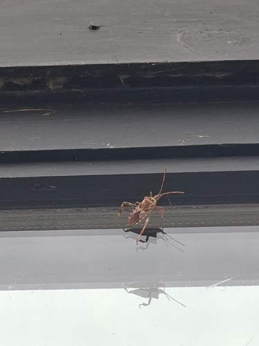
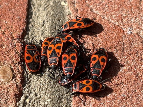
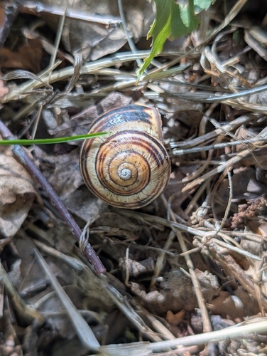
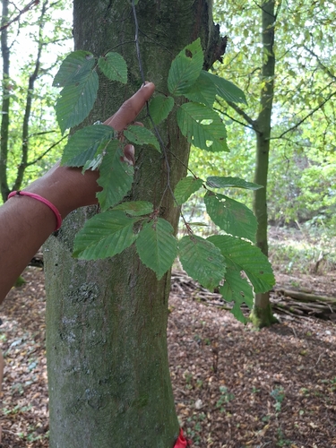
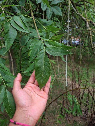
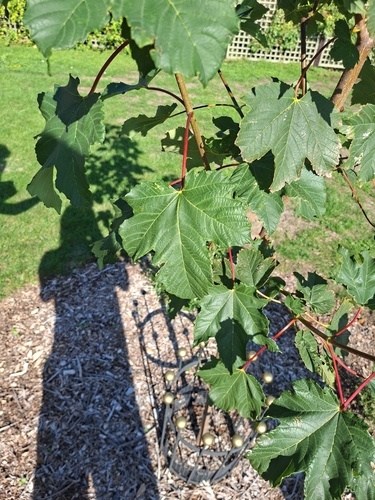
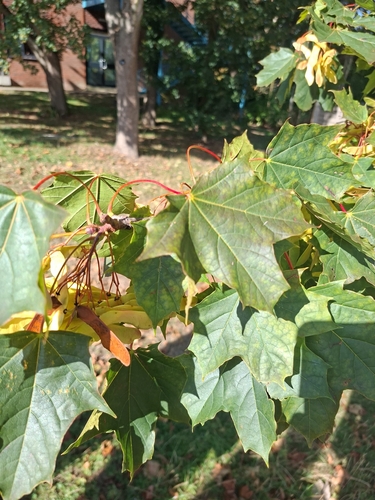
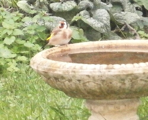
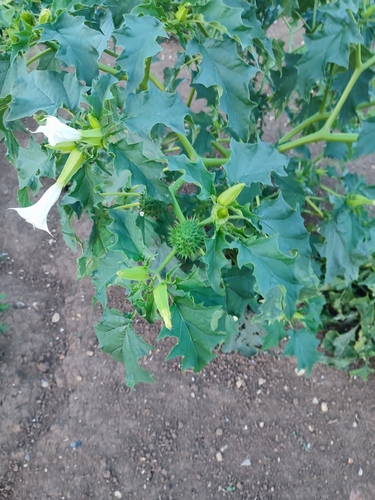
Research-grade observations from iNaturalist (within ~15 mi).
Events
Gallery
Sources
- • Wikipedia
- • Wikidata
- • iNaturalist
- • Open-Meteo / sunrise-sunset.org
- • Wikipedia Pageviews API
- • Open Library