Browse / United Kingdom / Scotland / Neilston
Neilston
Scotlandtown

Neilston
Total population
5,168
Demographic figures from UK Office for National Statistics. Overview below cites Wikipedia and may reference a different year.
City facts
Facts from Wikidata (CC0).
Overview
Neilston is a village and parish in East Renfrewshire in the west central Lowlands of Scotland. It is in the Levern Valley, two miles southwest of Barrhead, 3+3⁄4 miles south of Paisley, and 5+3⁄4 miles south-southwest of Renfrew, at the southwestern fringe of the Greater Glasgow conurbation. Neilston is a dormitory village with a resident population of just over 5,000 people.
Read more on WikipediaHistory & geography
History
Local historians have proposed various theories for the origin of the name Neilston. Although the first element is likely to derive from either the Gaelic forename "Niall" (genitive "Nèill") or else from the French Nigel, there is disagreement as to whether the second element represents the English "stone" or "town". The earliest mention of Neilston is in the Chartulary of Paisley Abbey, which mentions that the Anglo-Norman knight, Robert Croc of Crocstown (Crookston), assigned the patronage of Neilstoun to the monks of St Mirren's in 1163, on condition that masses should be regularly said for the benefit of his soul. The chartulary dealt with the foundation of the Clunaic Monastery in Paisley and its relationship to a chapel in Neilston, which were both answerable to Rome via the Clunaic Movement. Because of its chapel, which later became a parish church, Neilston was the most important settlement in the Levern Valley and much of rural Renfrewshire. Robert Croc may have had a fort or watchtower at Coldoun in Neilston in the 12th century. "Doun" is a corruption of "dun" meaning castle or fort, and the prefix perhaps implies the lack of physical warmth within the tower or the greeting received by unwelcome guests. The foundations of a textile industry in Neilston were laid by the monks of Paisley Abbey who mastered the local woollen trade in the Middle Ages. In the "Old" Statistical Account of Scotland (1792), compiled under the direction of Sir John Sinclair of Ulbster, Neilston was noted to have two cotton mills employing together more than 300 people, over half of them children. Crofthead Mill (known locally as Neilston Mill) was established in 1792. It was one of seven large cotton mills on the banks of the River Levern between Neilston and Dovecothall, and…
Excerpted from the corresponding Wikipedia article (CC BY-SA).
Geography
Coordinates & boundaries from the US Census TIGER/Line shapefiles.
Climate
Air quality
Walkability
Amenities nearby
Wildlife & biodiversity
Earthquake history
Photos
Sights & places nearby
Notable people from here


People born within ~10 km, from Wikidata (CC0). Click any name for their Wikipedia article.
Geography & sun
Elevation, sunrise/sunset and daylight from Open-Meteo. Solar climatology from NASA POWER.
Nearby airports
Public attention
Pageview totals from the Wikimedia Pageviews API.
Books about Neilston


Search results from Open Library.
Recent natural events nearby
Ground air-quality sensors
Recently spotted species
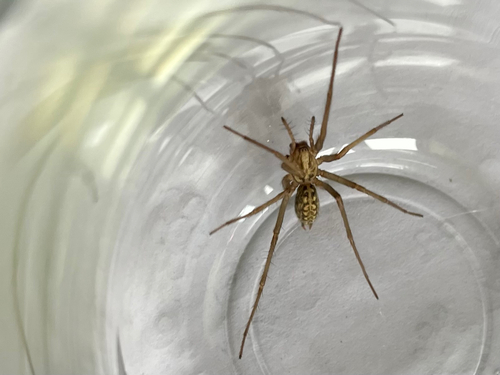
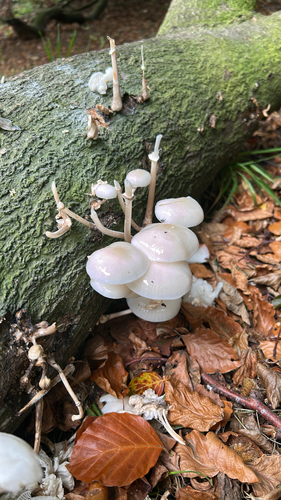
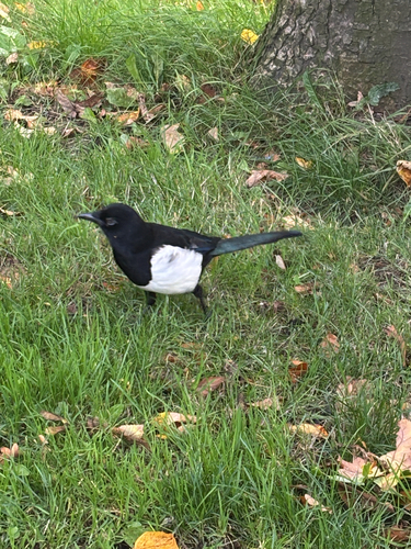
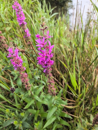
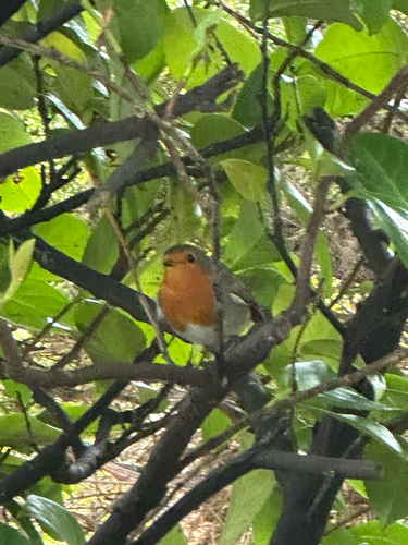
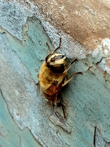

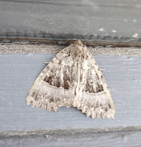
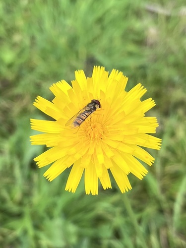
Research-grade observations from iNaturalist (within ~15 mi).
Events
Gallery
Official Identifiers
ONS — UK Office for National Statistics
- ONS code
- osgb4000000074551112
- Local type
- Village
- Region
- Scotland
api.postcodes.io / OS Open Names
Sources
- • Wikipedia
- • Wikidata
- • iNaturalist
- • Open-Meteo / sunrise-sunset.org
- • Wikipedia Pageviews API
- • Open Library
- • ONS / OS Open Names — UK official place gazetteer, via api.postcodes.io (OS code, local type, county/unitary, district/borough, region)
- • ONS — UK Office for National Statistics — api.postcodes.io / OS Open Names