Browse / United Kingdom / England / Netherfield
Netherfield
Englandtown

Netherfield
Demographic figures from UK Office for National Statistics. Overview below cites Wikipedia and may reference a different year.
City facts
Overview
Netherfield is a town in the Borough of Gedling in Nottinghamshire, England. It is situated to the east of Nottingham's city boundary and is approximately 3 miles (4.8 km) between Colwick and Carlton in the NG4 postcode area, and near the River Trent. The appropriate Gedling ward was called 'Netherfield and Colwick' until boundary reorganisation in 2015, when it became 'Netherfield', with 'Colwick' becoming a separate ward.. At the time of the 2011 census, the population of this ward was 7,398.
Read more on WikipediaHistory & geography
History
Anciently, it was the Nether, or Lower Field of Carlton in the Willows within the Parish of Gedling covering some , two roods and 19 perches. The ancient Nether Field was formed by the parochial boundaries and the effects of the eighteenth century enclosure of Gedling. Nottinghamshire’s Historic Environment Record (HER) entry [M8927] suggests that our Anglo-Saxon forebears established a cremation cemetery in what is now the Netherfield area of Carlton, close to the River Trent and just downstream from Nottingham. There are six known pots which survive and these now reside in the University of Nottingham’s Museum of Archaeology. The south-western boundary today is the Nottingham–Grantham line, a branch line that follows the ancient course of the River Trent separating the Nether Field from Colwick Parish. The south eastern boundary is also an old water course of the Trent forming the boundary of the Hesgang pasture which, until recent times belonged to Radcliffe on Trent which is now on the other side of the present course of the River Trent. The north-eastern boundary is formed by the Ouse Dyke, separating Netherfield from the parish of Stoke Bardolph and lastly the northwestern boundary is now the Nottingham to Lincoln railway line. When in 1846 the Midland Railway Company opened their Nottingham to Lincoln line it formed the northwestern boundary of Netherfield as it was later known when it became a separate ecclesiastical parish in 1885. This line was joined by the Ambergate, Nottingham, Boston and Eastern Junction Railway line from Grantham and the Colwick Motive Power Depot (1869 - 13 April 1970). Covering an area, as today from the north end of Victoria Road just passing the crossings of the former Nottingham - Gedling - Daybrook line, the eastern end of…
Excerpted from the corresponding Wikipedia article (CC BY-SA).
Geography
Coordinates & boundaries from the US Census TIGER/Line shapefiles.
Climate
Air quality
Walkability
Amenities nearby
Wildlife & biodiversity
Earthquake history
Photos
Sights & places nearby
Notable people from here
Geography & sun
Elevation, sunrise/sunset and daylight from Open-Meteo. Solar climatology from NASA POWER.
Nearby airports
Public attention
Pageview totals from the Wikimedia Pageviews API.
Books about Netherfield



![Pride and Prejudice [adaptation]](https://covers.openlibrary.org/b/id/14417856-M.jpg)
Search results from Open Library.
Recent natural events nearby
Ground air-quality sensors
Recently spotted species
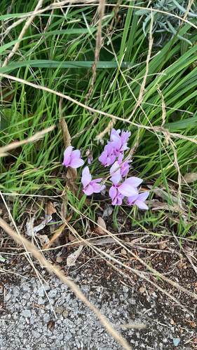
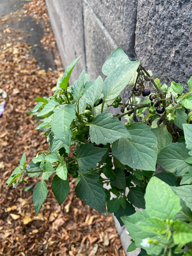

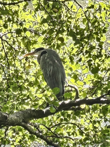

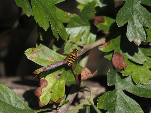
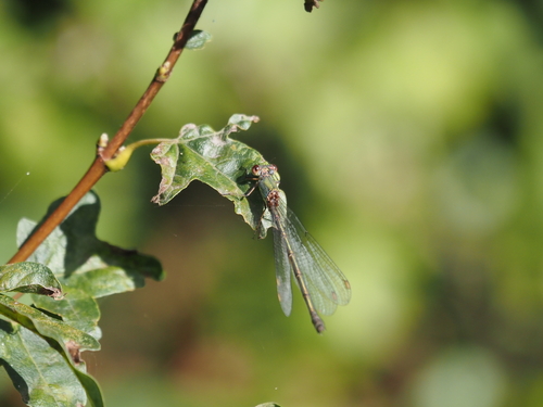


Research-grade observations from iNaturalist (within ~15 mi).
Events
Gallery
Sources
- • Wikipedia
- • iNaturalist
- • Open-Meteo / sunrise-sunset.org
- • Wikipedia Pageviews API
- • Open Library