Browse / United Kingdom / Scotland / Netherplace
Netherplace
Scotlandhamlet
Demographic figures from UK Office for National Statistics. Overview below cites Wikipedia and may reference a different year.
City facts
Overview
Netherplace is a hamlet in East Renfrewshire. It is to the west of Newton Mearns, and adjacent to the M77 motorway. The settlement is almost entirely along the Netherplace Road. It contains a farm, as well as some houses, and a reservoir. It also used to be home to the Netherplace Dye Works, which was demolished in 2016, after a fly infestation across Newton Mearns which also spread to nearby Giffnock and Clarkston.
Read more on WikipediaHistory & geography
Geography
Coordinates & boundaries from the US Census TIGER/Line shapefiles.
Climate
Air quality
Walkability
Amenities nearby
Wildlife & biodiversity
Earthquake history
Photos
Sights & places nearby
Notable people from here


People born within ~10 km, from Wikidata (CC0). Click any name for their Wikipedia article.
Nearby places in Scotland
- Millhall4.9 mi away
- Crookedholm12.2 mi away
- North Blochairn13.2 mi away
- Strathblane14.9 mi away · pop. 1,970
- Fairlie19.2 mi away
- Castlecary21.5 mi away
- Braeface22.4 mi away
- Allandale22.5 mi away · pop. 289
- Binniehill23.2 mi away
- Blairston Mains27 mi away
- Brae of Auchendrane27.6 mi away
- Invertrossachs30.7 mi away
Geography & sun
Nearby airports
Public attention
Books about this place
Recent natural events nearby
Ground air-quality sensors
Recently spotted species
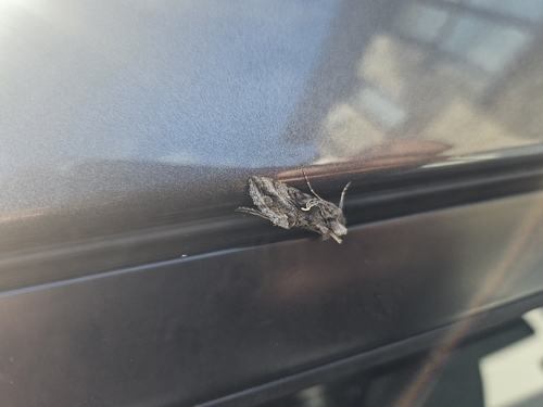
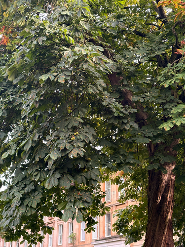

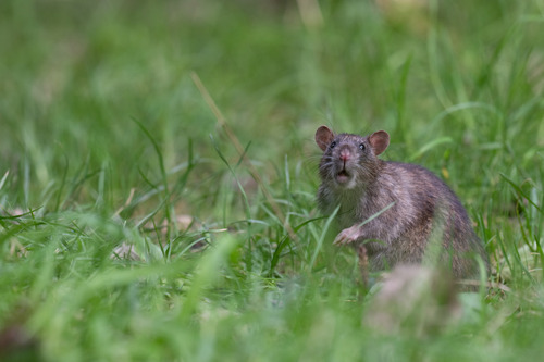
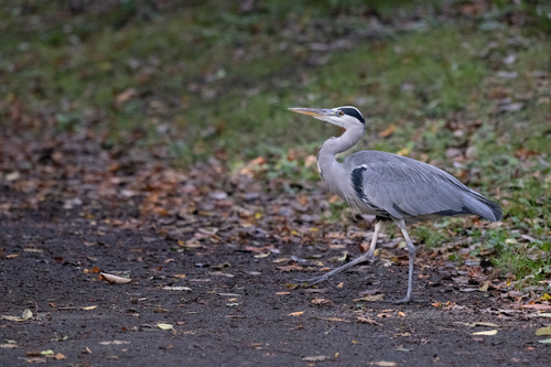
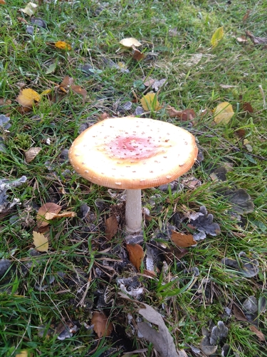
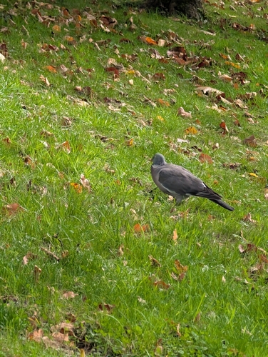
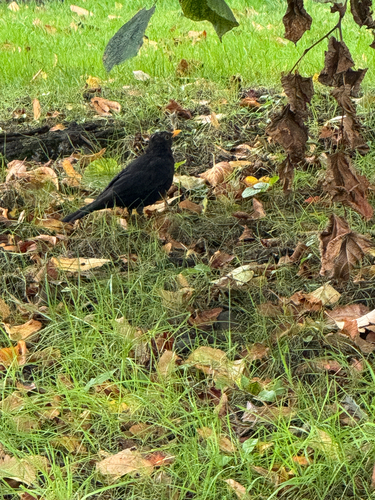
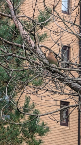
Research-grade observations from iNaturalist (within ~15 mi).
Events
Gallery
Sources
- • Wikipedia
- • Wikidata
- • iNaturalist