Browse / United Kingdom / England / Newbury
Newbury
Englandtown

Newbury
Total population
33,841
Air quality index
Demographic figures from UK Office for National Statistics. Overview below cites Wikipedia and may reference a different year.
City facts
Sister cities
Facts from Wikidata (CC0).
Overview
Newbury is a market town in West Berkshire, England, in the valley of the River Kennet. It is 26 miles (42 km) south of Oxford, 25 miles (40 km) north of Winchester, 27 miles (43 km) southeast of Swindon and 20 miles (32 km) west of Reading. It is also where West Berkshire Council is headquartered.
Read more on WikipediaHistory & geography
History
There was a Mesolithic settlement at Newbury. Artefacts were recovered from the Greenham Dairy Farm in 1963, and the Faraday Road site in 2002. Additional material was found in excavations along the route of the Newbury Bypass. Newbury was founded late in the 11th century following the Norman conquest as a new borough, hence its name. Although there are references to the borough that predate the Domesday Book it is not mentioned by name in the survey. However, its existence within the manor of Ulvritone is evident from the massive rise in value of that manor at a time when most manors were worth less than in Saxon times. In 1086 the Domesday Book assesses the borough as having land for 12 ploughs, 2 mills, woodland for 25 pigs, 11 villeins (resident farmhands, unfree peasant who owed his lord labour services), 11 bordars (unfree peasants with less land than villans/villeins), and 51 enclosures (private parks) rendering 70s 7d. Doubt has been cast over the existence of Newbury Castle, but the town did have royal connections and was visited a number of times by King John and Henry III while hunting in the area. The first reference to a bridge on the site of the current Newbury Bridge is an account of its reconstruction in the 14th Century. In 1312, King Edward II directed that its bridge should be kept in good order. By 1623, when the bridge collapsed, it was recorded as being built of wood, being in length and in width, and having shops on it. The bridge was presumably rebuilt, as it is recorded that in 1644 a guard was placed on the bridge. Historically, the town's economic foundation was the cloth trade. This is reflected in the person of the 16th-century cloth magnate, Jack of Newbury, the proprietor of what may well have been the first factory in England,…
Geography
The Civil Parish of Newbury consists of the town and the suburbs of Wash Common, The City, West Fields, East Fields and Speenhamland. The modern conurbation of Newbury, however, with close bus and road links and almost contiguous development, may be taken to include the surrounding villages of Speen, Donnington, Shaw and Greenham. Speen, which is now a suburb of western Newbury, is roughly equidistant between Bristol and London. Elevations vary from a minimum of 72 m above mean sea level to 122 m at Wash Common. Elevations reach 150–200 m in the directly adjoining hills. The River Kennet and the Kennet and Avon Canal flow east through the centre of the town to reach the Thames at Reading, while the River Lambourn (beside which is the country's largest horse-training paddocks in the Valley of the Lambourn Downs) partly forms its northern boundary, ending in the town. A tributary that is smaller still, the River Enborne, forms the southern boundary (and also the county boundary with Hampshire). Adjoining the town's south-eastern border is Greenham Common and the famous Newbury Racecourse. Newbury is surrounded on three sides (north, west and south) by the North Wessex Downs. The downland to the south rises steeply out of the river valley providing scenic views, including Watership Down (made famous by the novel of the same name), Beacon Hill, the southeast's highest point Walbury Hill, and Combe Gibbet.
Excerpted from the corresponding Wikipedia article (CC BY-SA).
Geography
Coordinates & boundaries from the US Census TIGER/Line shapefiles.
Climate
Air quality
Current readings from Open-Meteo Air Quality API (Copernicus CAMS European reanalysis).
Walkability
Amenities nearby
Wildlife & biodiversity
Most-observed species
- Common Wood-PigeonColumba palumbus Linnaeus, 1758 · Aves5,960
- European RobinErithacus rubecula (Linnaeus, 1758) · Aves5,494
- Eurasian BlackbirdTurdus merula Linnaeus, 1758 · Aves5,331
- Eurasian Blue TitCyanistes caeruleus (Linnaeus, 1758) · Aves4,831
- Meadow BrownManiola jurtina (Linnaeus, 1758) · Insecta4,619
- Red KiteMilvus milvus (Linnaeus, 1758) · Aves4,516
- Great TitParus major Linnaeus, 1758 · Aves4,026
- Carrion CrowCorvus corone Linnaeus, 1758 · Aves4,000
Citizen-science & research observations from the Global Biodiversity Information Facility (GBIF).
Earthquake history
Most recent
- M 3.1 — 2020-09-225 km N of Aylesbury, United Kingdom
- M 3.9 — 2020-09-082 km WSW of Pitstone, United Kingdom
- M 3 — 2019-05-197 km ESE of Swanage, United Kingdom
- M 3.3 — 2019-02-273 km SE of Dorking, United Kingdom
- M 2.8 — 2018-07-051 km S of Ewhurst, United Kingdom
- M 2.6 — 2018-06-275 km W of Capel, United Kingdom
Events from the USGS Earthquake Catalog (global) (FDSN Event Web Service).
Photos
Sights & places nearby
Notable people from here


People born within ~10 km, from Wikidata (CC0). Click any name for their Wikipedia article.
Nearby places in England
Geography & sun
Elevation, sunrise/sunset and daylight from Open-Meteo. Solar climatology from NASA POWER.
Nearby airports
Public attention
Pageview totals from the Wikimedia Pageviews API.
Books about Newbury



Search results from Open Library.
Recent natural events nearby
Ground air-quality sensors
Recently spotted species
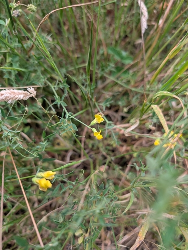
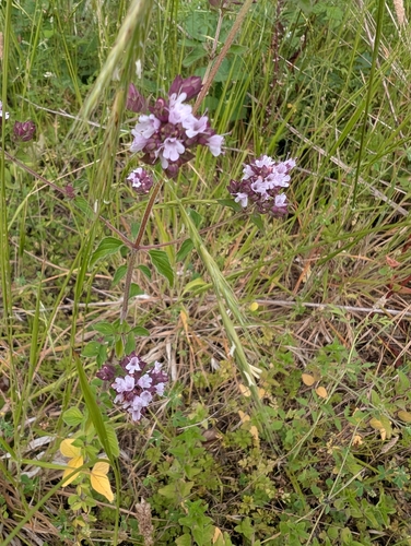
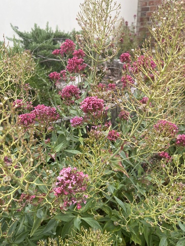
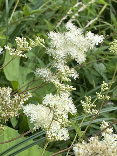
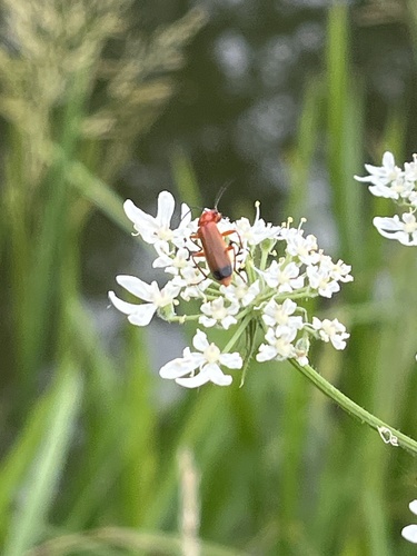
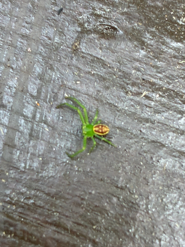
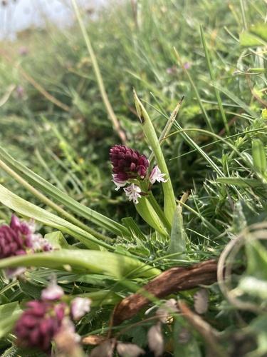
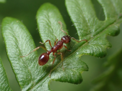
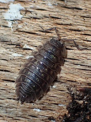
Research-grade observations from iNaturalist (within ~15 mi).
Events
Notable, recurring, and historical events associated with Newbury, sourced from Wikidata.
Source: Wikidata (CC0).
Gallery
Official Identifiers
ONS — UK Office for National Statistics
- ONS code
- osgb4000000074563915
- Local type
- Town
- Region
- South East
api.postcodes.io / OS Open Names
Sources
- • Wikipedia
- • Wikidata
- • Open-Meteo Air Quality (CAMS)
- • USGS Earthquake Catalog (global feed)
- • GBIF (Global Biodiversity Information Facility)
- • iNaturalist
- • Open-Meteo / sunrise-sunset.org
- • Wikipedia Pageviews API
- • Open Library
- • Wikidata SPARQL (CC0) — population, area, elevation, inception, head of government, Commons image
- • ONS / OS Open Names — UK official place gazetteer, via api.postcodes.io (OS code, local type, county/unitary, district/borough, region)
- • ONS — UK Office for National Statistics — api.postcodes.io / OS Open Names