Browse / United Kingdom / Northern Ireland / Newtownabbey
Newtownabbey
Northern Irelandtown

Newtownabbey
Total population
62,022
Demographic figures from UK Office for National Statistics. Overview below cites Wikipedia and may reference a different year.
City facts
Facts from Wikidata (CC0).
Overview
Newtownabbey is a large settlement north of Belfast city centre in County Antrim, Northern Ireland. It is separated from the rest of the city by Cavehill and Fortwilliam golf course, but it still forms part of the Belfast metropolitan area. It surrounds Carnmoney Hill, and was formed from the merging of several small villages including Whiteabbey, Glengormley and Carnmoney. At the 2021 census, Metropolitan Newtownabbey Settlement had a population of 67,599, making it the third largest settlement in Northern Ireland and seventh on the Island of Ireland. It is part of Antrim and Newtownabbey Borough Council.
Read more on WikipediaHistory & geography
History
Newtownabbey Urban District was founded on 1 April 1958 to cover seven villages north of Belfast: Carnmoney, Glengormley, Jordanstown, Monkstown, Whiteabbey, Whitehouse and Whitewell. Before this, the area fell under the jurisdiction of Belfast Rural District. Newtownabbey Urban District Council was succeeded by Newtownabbey District Council (1973–1977), Newtownabbey Borough Council (1977–2015), and Antrim and Newtownabbey District Council (2015 onwards). During The Troubles, there were a number of incidents in Newtownabbey, including several gun attacks involving the UFF and UVF.
Geography
Newtownabbey is a large dispersed urban area north of Belfast, surrounding Carnmoney Hill. To its east is Belfast Lough, and to its south and west is Cavehill. There are two wooded river glens running through it: the Three Mile Water and the Glas-na-Bradan. Below is a list of townlands that are within Newtownabbey's urban area, alongside their likely etymologies. *Ballybought ()* *Ballyduff (from Baile Mhic Giolla Dhuibh, "MacElduff's townland")* *Ballygolan (from Baile an Ghabhláin, "townland of the fork")* *Ballyhenry (from Baile Éinrí, "Henry's townland")* *Ballyvesey (possibly from Baile an Mheasa, "townland of the mast)* *Ballywonard (from Baile an Mhuine Aird, "townland of the high thicket")* *Carnmoney *Collinward (formerly Ballygorinward, possibly from Baile Gorán Bhaird, "townland of the bard's grove")* *Croghfern (formerly Curraghfarny, possibly from Currach Fearnaí, "marsh of the place of alders")* *Drumnadrough (from Droim na gCruach, "ridge of the stacks")*, site of Merville Garden Village *Dunanney (from Dún Áine, "Áine's fort")* *Glengormley *Jordanstown *Mallusk *Monkstown *Whiteabbey *Whitehouse (named after a 16th-century fortified house built by an English adventurer; formerly Ballyrintollard)* Other districts include: *Mossley (named after Mossley, England; in Ballyhenry townland) *Rathcoole *Whitewell (named after a former spring; in Ballygolan townland) * citation for derivations
Excerpted from the corresponding Wikipedia article (CC BY-SA).
Geography
Coordinates & boundaries from the US Census TIGER/Line shapefiles.
Climate
Air quality
Walkability
Amenities nearby
Wildlife & biodiversity
Earthquake history
Photos
Sights & places nearby
Notable people from here


People born within ~10 km, from Wikidata (CC0). Click any name for their Wikipedia article.
Geography & sun
Nearby airports
Public attention
Books about this place
Recent natural events nearby
Ground air-quality sensors
Recently spotted species
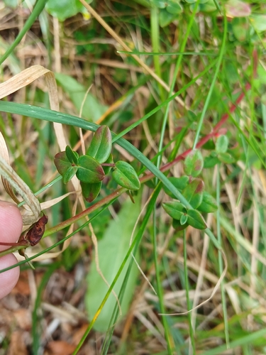
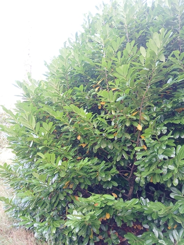
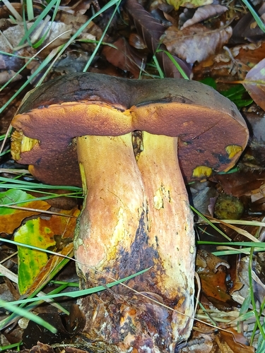
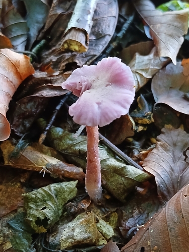
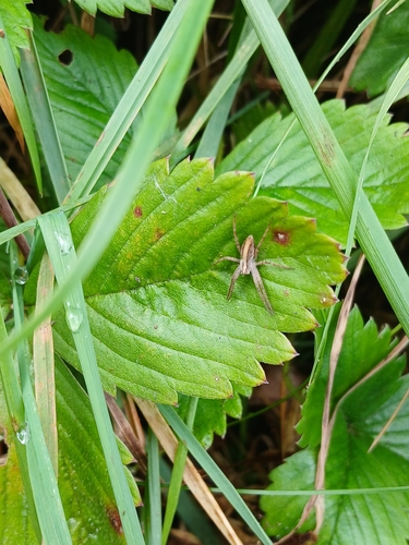
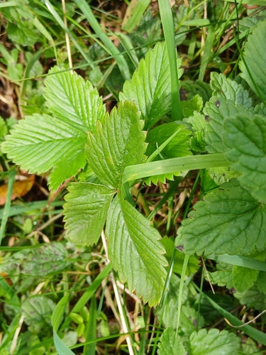
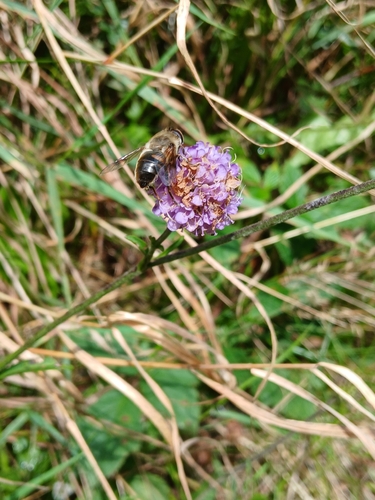
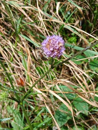
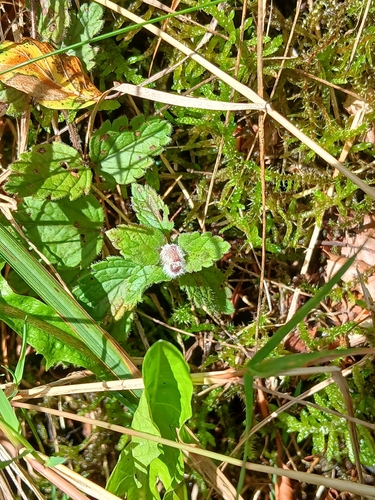
Research-grade observations from iNaturalist (within ~15 mi).
Events
Gallery
Sources
- • Wikipedia
- • Wikidata
- • iNaturalist
- • Wikidata SPARQL (CC0) — population, area, elevation, inception, head of government, Commons image